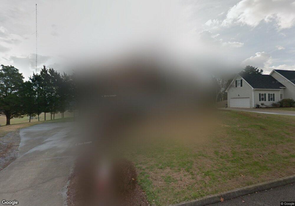
1938 Dairy Ln Knoxville, TN 37938
Halls Crossroads NeighborhoodEstimated Value: $403,670 - $466,000
4
Beds
3
Baths
2,304
Sq Ft
$189/Sq Ft
Est. Value
About This Home
This home is located at 1938 Dairy Ln, Knoxville, TN 37938 and is currently estimated at $434,918, approximately $188 per square foot. 1938 Dairy Ln is a home located in Knox County with nearby schools including Brickey McCloud Elementary School, Halls High School, and Halls Middle School.
Ownership History
Date
Name
Owned For
Owner Type
Purchase Details
Closed on
Jun 10, 2016
Sold by
Lane Paul E and Lane Andread
Bought by
Lane Dustin P and Ownby Kacie L
Current Estimated Value
Home Financials for this Owner
Home Financials are based on the most recent Mortgage that was taken out on this home.
Original Mortgage
$124,800
Outstanding Balance
$99,456
Interest Rate
3.61%
Mortgage Type
New Conventional
Estimated Equity
$335,462
Purchase Details
Closed on
May 2, 1996
Sold by
Walker Don W
Bought by
Lane Andrea D
Purchase Details
Closed on
Dec 7, 1995
Bought by
Walker Don W
Create a Home Valuation Report for This Property
The Home Valuation Report is an in-depth analysis detailing your home's value as well as a comparison with similar homes in the area
Home Values in the Area
Average Home Value in this Area
Purchase History
| Date | Buyer | Sale Price | Title Company |
|---|---|---|---|
| Lane Dustin P | $156,000 | None Available | |
| Lane Andrea D | $116,900 | -- | |
| Walker Don W | $20,900 | -- |
Source: Public Records
Mortgage History
| Date | Status | Borrower | Loan Amount |
|---|---|---|---|
| Open | Lane Dustin P | $124,800 |
Source: Public Records
Tax History Compared to Growth
Tax History
| Year | Tax Paid | Tax Assessment Tax Assessment Total Assessment is a certain percentage of the fair market value that is determined by local assessors to be the total taxable value of land and additions on the property. | Land | Improvement |
|---|---|---|---|---|
| 2024 | $841 | $54,100 | $0 | $0 |
| 2023 | $841 | $54,100 | $0 | $0 |
| 2022 | $841 | $54,100 | $0 | $0 |
| 2021 | $956 | $45,075 | $0 | $0 |
| 2020 | $956 | $45,075 | $0 | $0 |
| 2019 | $956 | $45,075 | $0 | $0 |
| 2018 | $956 | $45,075 | $0 | $0 |
| 2017 | $956 | $45,075 | $0 | $0 |
| 2016 | $1,007 | $0 | $0 | $0 |
| 2015 | $1,007 | $0 | $0 | $0 |
| 2014 | $1,007 | $0 | $0 | $0 |
Source: Public Records
Map
Nearby Homes
- 7733 Hoff Ln
- 7705 Morris Rd
- 7805 Shadowood Dr
- 7820 Jefferson Oaks Dr
- 7745 W Ogg Rd
- 1652 Emerald Pointe Ln
- 1544 Ellery Ln
- 7824 Cedarcrest Rd
- 7648 Cool Breeze Dr
- 7633 Cool Breeze Rd
- 7812 Bernstein Ln
- 1426 Greenwell Dr
- 8014 Fieldstone Rd
- 7701 Pedigo Rd
- 1862 Ridge Creek Ln
- 1365 Wineberry Rd
- 7816 Timber Glow Trail
- 1835 Ridge Creek Ln
- 7345 Calla Crossing Ln
- 7916 Ember Crest Trail
- 1928 Dairy Ln
- 1937 Dairy Ln
- 1948 Dairy Ln
- 1927 Dairy Ln
- 1949 Dairy Ln
- 1918 Dairy Ln
- 1919 Dairy Ln
- 1954 Dairy Ln
- 1955 Dairy Ln
- 1908 Dairy Ln
- 1909 Dairy Ln
- 7738 Morris Rd
- 1929 Trent Valley Ln
- 1923 Trent Valley Ln
- 1917 Trent Valley Ln
- 7711 Dan Ln
- 7717 Dan Ln
- 7713 Dan Ln
- 1935 Trent Valley Ln
- 1900 Dairy Ln
