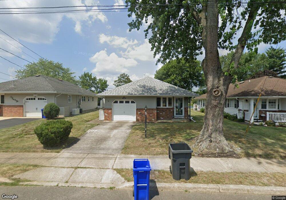
1938 Hovsons Blvd Toms River, NJ 08753
Estimated Value: $294,000 - $363,118
2
Beds
1
Bath
1,000
Sq Ft
$331/Sq Ft
Est. Value
About This Home
This home is located at 1938 Hovsons Blvd, Toms River, NJ 08753 and is currently estimated at $331,280, approximately $331 per square foot. 1938 Hovsons Blvd is a home located in Ocean County with nearby schools including Ocean County Christian Academy.
Ownership History
Date
Name
Owned For
Owner Type
Purchase Details
Closed on
Jun 26, 2008
Sold by
Case Ronald W and Case Mollie E
Bought by
Burns Robert E and Burns Sheila C
Current Estimated Value
Home Financials for this Owner
Home Financials are based on the most recent Mortgage that was taken out on this home.
Original Mortgage
$149,000
Outstanding Balance
$98,055
Interest Rate
6.47%
Mortgage Type
Purchase Money Mortgage
Estimated Equity
$233,225
Purchase Details
Closed on
Mar 12, 2003
Sold by
O'Reilly Richard
Bought by
Case Robert and Case Mollie
Purchase Details
Closed on
Aug 23, 2002
Sold by
Dominica Susan
Bought by
O'Reilly Richard and O'Reilly Angela
Create a Home Valuation Report for This Property
The Home Valuation Report is an in-depth analysis detailing your home's value as well as a comparison with similar homes in the area
Home Values in the Area
Average Home Value in this Area
Purchase History
| Date | Buyer | Sale Price | Title Company |
|---|---|---|---|
| Burns Robert E | $187,000 | Chicago Title Insurance Co | |
| Case Robert | $145,000 | -- | |
| O'Reilly Richard | $115,000 | -- |
Source: Public Records
Mortgage History
| Date | Status | Borrower | Loan Amount |
|---|---|---|---|
| Open | Burns Robert E | $149,000 |
Source: Public Records
Tax History Compared to Growth
Tax History
| Year | Tax Paid | Tax Assessment Tax Assessment Total Assessment is a certain percentage of the fair market value that is determined by local assessors to be the total taxable value of land and additions on the property. | Land | Improvement |
|---|---|---|---|---|
| 2025 | $4,010 | $219,000 | $102,000 | $117,000 |
| 2024 | $3,810 | $220,100 | $102,000 | $118,100 |
| 2023 | $3,671 | $220,100 | $102,000 | $118,100 |
| 2022 | $3,671 | $220,100 | $102,000 | $118,100 |
| 2021 | $2,613 | $104,600 | $35,000 | $69,600 |
| 2020 | $2,601 | $104,600 | $35,000 | $69,600 |
| 2019 | $2,488 | $104,600 | $35,000 | $69,600 |
| 2018 | $2,463 | $104,600 | $35,000 | $69,600 |
| 2017 | $2,447 | $104,600 | $35,000 | $69,600 |
| 2016 | $2,389 | $104,600 | $35,000 | $69,600 |
| 2015 | $2,303 | $104,600 | $35,000 | $69,600 |
| 2014 | $2,189 | $104,600 | $35,000 | $69,600 |
Source: Public Records
Map
Nearby Homes
- 1902 Hovsons Blvd
- 2024 Mount Carmel Blvd
- 1853 Yorktowne Blvd
- 1814 Yorktowne Blvd
- 1920 Kenilworth Ct
- 1729 Yorktowne Blvd
- 1973 Yorktowne Blvd
- 16 Catskill Ct
- 72 Mount Matterhorn Ln
- 1925 Mount Carmel Blvd
- 23 Niagara Dr
- 76 Mount Fairweather Ln
- 2430-2438 Church Rd
- 2306 Mount Hood Ln
- 1815 Mount Everest Ln
- 1183B Clydebank Ct Unit 1183B
- 1263 Hamilton Ct Unit B
- 1099 Argyll Cir
- 10 Caribbean Ct
- 2277 Mount Hood Ln
- 1934 Hovsons Blvd
- 1942 Hovsons Blvd
- 1930 Hovsons Blvd
- 1946 Hovsons Blvd
- 1950 Mount Juliano Ln
- 1926 Hovsons Blvd
- 1950 Hovsons Blvd
- 1951 Mount Juliano Ln
- 1922 Hovsons Blvd
- 1946 Mount Juliano Ln
- 1929 Hovsons Blvd
- 1918 Hovsons Blvd
- 1958 Hovsons Blvd
- 1942 Mount Juliano Ln
- 1925 Hovsons Blvd
- 1914 Hovsons Blvd
- 1962 Hovsons Blvd
- 1953 Hovsons Blvd
- 1936 Mount Juliano Ln
- 1921 Hovsons Blvd