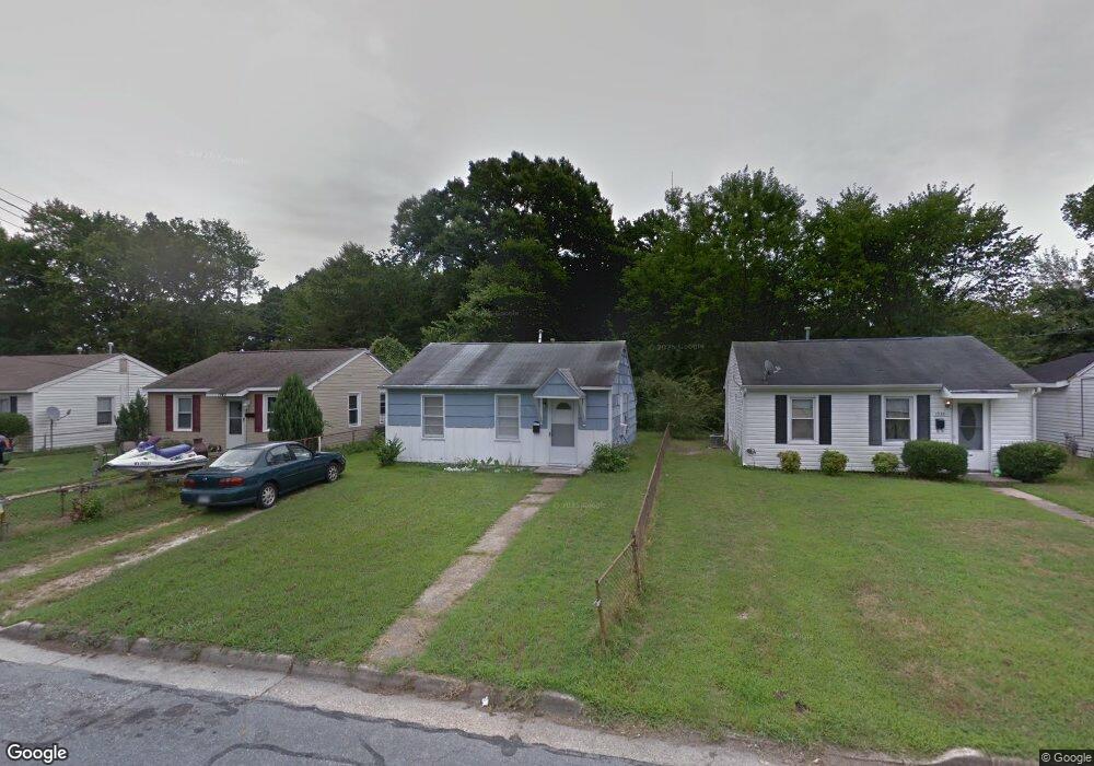
1938 Long Green Ln Hampton, VA 23663
Buckroe Beach NeighborhoodEstimated Value: $126,000 - $206,000
2
Beds
1
Bath
624
Sq Ft
$258/Sq Ft
Est. Value
About This Home
This home is located at 1938 Long Green Ln, Hampton, VA 23663 and is currently estimated at $160,942, approximately $257 per square foot. 1938 Long Green Ln is a home located in Hampton City with nearby schools including Benjamin Syms Middle School, Phoebus High School, and Gloria Dei Lutheran School.
Ownership History
Date
Name
Owned For
Owner Type
Purchase Details
Closed on
Apr 2, 2018
Sold by
Dilligas Llc A Virginia Limited Liabilit
Bought by
Worth What Llc A Virginia Limited Liabil
Current Estimated Value
Home Financials for this Owner
Home Financials are based on the most recent Mortgage that was taken out on this home.
Original Mortgage
$24,000
Outstanding Balance
$20,635
Interest Rate
4.43%
Mortgage Type
Purchase Money Mortgage
Estimated Equity
$140,307
Create a Home Valuation Report for This Property
The Home Valuation Report is an in-depth analysis detailing your home's value as well as a comparison with similar homes in the area
Home Values in the Area
Average Home Value in this Area
Purchase History
| Date | Buyer | Sale Price | Title Company |
|---|---|---|---|
| Worth What Llc A Virginia Limited Liabil | $25,000 | Attorney |
Source: Public Records
Mortgage History
| Date | Status | Borrower | Loan Amount |
|---|---|---|---|
| Open | Worth What Llc A Virginia Limited Liabil | $24,000 |
Source: Public Records
Tax History Compared to Growth
Tax History
| Year | Tax Paid | Tax Assessment Tax Assessment Total Assessment is a certain percentage of the fair market value that is determined by local assessors to be the total taxable value of land and additions on the property. | Land | Improvement |
|---|---|---|---|---|
| 2025 | $1,663 | $137,900 | $53,000 | $84,900 |
| 2024 | $1,458 | $126,800 | $53,000 | $73,800 |
| 2023 | $1,238 | $106,700 | $42,500 | $64,200 |
| 2022 | $1,200 | $101,700 | $42,500 | $59,200 |
| 2021 | $829 | $56,400 | $35,000 | $21,400 |
| 2020 | $596 | $48,100 | $30,600 | $17,500 |
| 2019 | $591 | $47,700 | $30,600 | $17,100 |
| 2018 | $827 | $70,200 | $30,600 | $39,600 |
| 2017 | $964 | $0 | $0 | $0 |
| 2016 | $964 | $70,200 | $0 | $0 |
| 2015 | $964 | $0 | $0 | $0 |
| 2014 | $1,080 | $73,500 | $30,600 | $42,900 |
Source: Public Records
Map
Nearby Homes
- 1926 Somerville Dr
- 1907 Rawood Dr
- 706 Grimes Rd
- 1852 Kensington Dr
- 440 Smiley Rd
- 2101 Andrews Blvd
- 2108 Andrews Blvd
- 438 Shelton Rd
- 2004 Winfree Rd
- 2007 Egger Cir
- 405 Shelton Rd
- 2013 Egger Cir
- 1829 Womack Dr
- 1802 Moger Dr
- 2002 Neville Cir
- 14 Ambrose Ln
- 1415 Edson Terrace
- 1427 Oakcrest Dr
- 1554 Slater Ave
- 1428 Woodcrest Dr
- 1936 Long Green Ln
- 1940 Long Green Ln
- 1934 Long Green Ln
- 1942 Long Green Ln
- 1932 Long Green Ln
- 1944 Long Green Ln
- 1937 Long Green Ln
- 1939 Long Green Ln
- 1935 Long Green Ln
- 1930 Long Green Ln
- 1946 Long Green Ln
- 1941 Long Green Ln
- 1933 Long Green Ln
- 1931 Long Green Ln
- 1928 Long Green Ln
- 1948 Long Green Ln
- 1945 Long Green Ln
- 1929 Long Green Ln
- 1926 Long Green Ln
- 1950 Long Green Ln