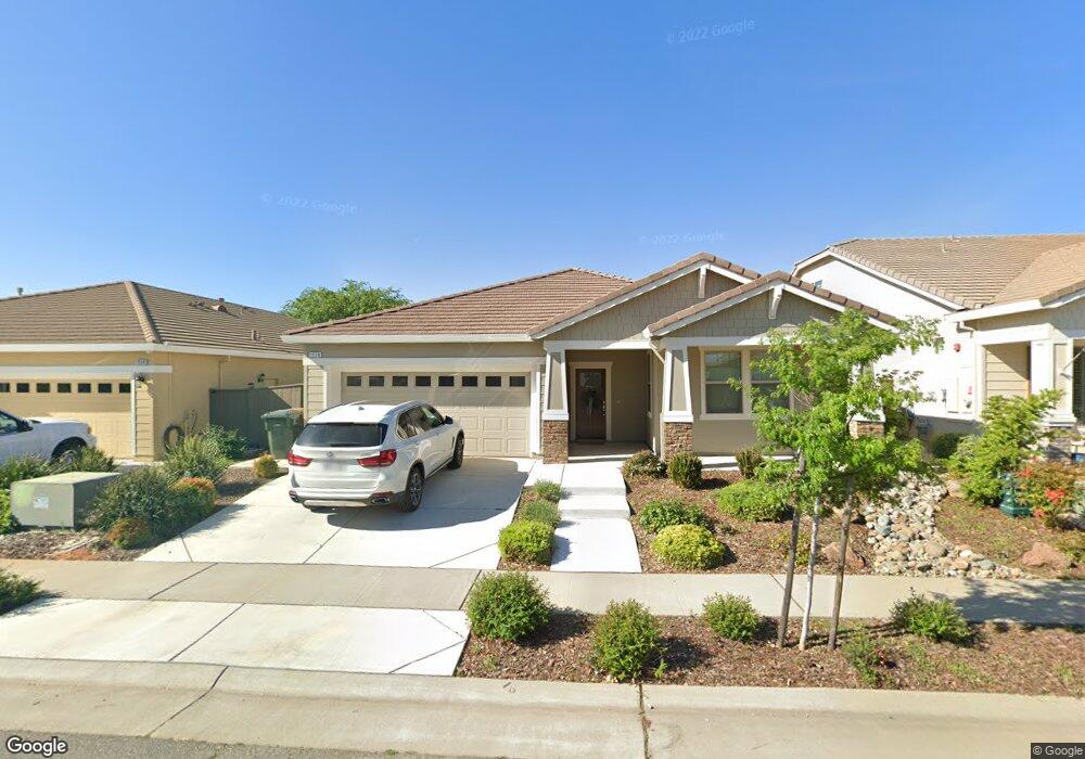
1938 Newark Way Lincoln, CA 95648
Estimated Value: $603,000 - $612,000
3
Beds
2
Baths
1,801
Sq Ft
$337/Sq Ft
Est. Value
About This Home
This home is located at 1938 Newark Way, Lincoln, CA 95648 and is currently estimated at $607,808, approximately $337 per square foot. 1938 Newark Way is a home with nearby schools including Foskett Ranch Elementary School, Glen Edwards Middle, and Lincoln High.
Ownership History
Date
Name
Owned For
Owner Type
Purchase Details
Closed on
Mar 21, 2018
Sold by
John Mourier Construction Inc
Bought by
Taylor Rory Andrew and Taylor Holly Faye
Current Estimated Value
Home Financials for this Owner
Home Financials are based on the most recent Mortgage that was taken out on this home.
Original Mortgage
$409,832
Outstanding Balance
$352,185
Interest Rate
4.5%
Mortgage Type
FHA
Estimated Equity
$255,623
Purchase Details
Closed on
Mar 25, 2010
Sold by
Pac Capital Llc
Bought by
John Mourier Construction Inc
Purchase Details
Closed on
Apr 1, 2009
Sold by
John Mourier Construction Inc
Bought by
Pac Capital Llc
Home Financials for this Owner
Home Financials are based on the most recent Mortgage that was taken out on this home.
Original Mortgage
$5,075,200
Interest Rate
5.06%
Mortgage Type
Seller Take Back
Create a Home Valuation Report for This Property
The Home Valuation Report is an in-depth analysis detailing your home's value as well as a comparison with similar homes in the area
Home Values in the Area
Average Home Value in this Area
Purchase History
| Date | Buyer | Sale Price | Title Company |
|---|---|---|---|
| Taylor Rory Andrew | $417,500 | Stewart Title Of Placer | |
| John Mourier Construction Inc | -- | Placer Title Company | |
| Pac Capital Llc | -- | Placer Title Company |
Source: Public Records
Mortgage History
| Date | Status | Borrower | Loan Amount |
|---|---|---|---|
| Open | Taylor Rory Andrew | $409,832 | |
| Previous Owner | Pac Capital Llc | $5,075,200 |
Source: Public Records
Tax History Compared to Growth
Tax History
| Year | Tax Paid | Tax Assessment Tax Assessment Total Assessment is a certain percentage of the fair market value that is determined by local assessors to be the total taxable value of land and additions on the property. | Land | Improvement |
|---|---|---|---|---|
| 2025 | $8,253 | $505,608 | $113,781 | $391,827 |
| 2023 | $8,253 | $462,476 | $109,363 | $353,113 |
| 2022 | $7,669 | $447,526 | $107,219 | $340,307 |
| 2021 | $7,504 | $433,000 | $103,700 | $329,300 |
| 2020 | $7,032 | $382,000 | $91,500 | $290,500 |
| 2019 | $7,419 | $425,740 | $102,000 | $323,740 |
| 2018 | $4,280 | $136,106 | $43,106 | $93,000 |
| 2017 | $3,042 | $42,261 | $42,261 | $0 |
| 2016 | $2,976 | $41,433 | $41,433 | $0 |
| 2015 | $2,914 | $40,811 | $40,811 | $0 |
| 2014 | $2,853 | $40,012 | $40,012 | $0 |
Source: Public Records
Map
Nearby Homes
- 1988 Mcclellan Ln
- 1835 Larkflower Way
- 1785 Newark Ct
- 1673 Calabasa Dr
- 2030 Teeside Ct
- 1598 La Guardia Cir
- 2781 Lindbergh Ln
- 1575 El Camino Verde Dr
- 187 Le Bourget Cir
- 2400 Winterrush Ln
- 2656 Avocet Way
- 1505 El Camino Verde Dr
- 2616 Swallowview Dr
- 3303 Leiper Loop
- 2886 Floradale Way
- 1004 Hudson Cir
- 2470 Saint Andrews Dr
- 1204 Hudson Cir
- 2140 Donovan Dr
- 2124 Donovan Dr
- 1930 Newark Way
- 1922 Newark Way
- 1957 Newark Way
- 1954 Newark Way
- 1949 Newark Way
- 1941 Newark Way
- 1933 Newark Way
- 1962 Newark Way
- 1965 Newark Way
- 1892 Beale Cir
- 1973 Newark Way
- 1964 Hartsfield Way
- 1970 Newark Way
- 1906 Newark Way
- 1884 Beale Cir
- 2560 Dyce Ln
- 1956 Hartsfield Way
- 1917 Newark Way
- 1981 Newark Way
- 1948 Hartsfield Way