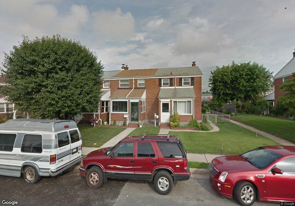
1938 Ormand Rd Dundalk, MD 21222
Estimated Value: $160,461 - $222,000
Studio
1
Bath
1,008
Sq Ft
$198/Sq Ft
Est. Value
About This Home
This home is located at 1938 Ormand Rd, Dundalk, MD 21222 and is currently estimated at $199,865, approximately $198 per square foot. 1938 Ormand Rd is a home located in Baltimore County with nearby schools including Grange Elementary School, General John Stricker Middle School, and Patapsco High & Center for Arts.
Ownership History
Date
Name
Owned For
Owner Type
Purchase Details
Closed on
Mar 12, 2015
Sold by
Owens Sandra R and Owens Michael A
Bought by
Owens Sandra R and Owens Michael A
Current Estimated Value
Home Financials for this Owner
Home Financials are based on the most recent Mortgage that was taken out on this home.
Original Mortgage
$75,000
Interest Rate
3.68%
Mortgage Type
New Conventional
Purchase Details
Closed on
Dec 15, 2014
Sold by
Owens Sandra R and Oliver Sandra R
Bought by
Owens Sandra R and Owens Michael A
Create a Home Valuation Report for This Property
The Home Valuation Report is an in-depth analysis detailing your home's value as well as a comparison with similar homes in the area
Home Values in the Area
Average Home Value in this Area
Purchase History
| Date | Buyer | Sale Price | Title Company |
|---|---|---|---|
| Owens Sandra R | $50,000 | None Available | |
| Owens Sandra R | -- | None Available |
Source: Public Records
Mortgage History
| Date | Status | Borrower | Loan Amount |
|---|---|---|---|
| Closed | Owens Sandra R | $75,000 |
Source: Public Records
Tax History
| Year | Tax Paid | Tax Assessment Tax Assessment Total Assessment is a certain percentage of the fair market value that is determined by local assessors to be the total taxable value of land and additions on the property. | Land | Improvement |
|---|---|---|---|---|
| 2025 | $2,510 | $146,700 | -- | -- |
| 2024 | $2,510 | $136,600 | $0 | $0 |
| 2023 | $1,332 | $126,500 | $36,000 | $90,500 |
| 2022 | $3,044 | $124,900 | $0 | $0 |
| 2021 | $2,359 | $123,300 | $0 | $0 |
| 2020 | $2,359 | $121,700 | $36,000 | $85,700 |
| 2019 | $2,123 | $118,767 | $0 | $0 |
| 2018 | $1,988 | $115,833 | $0 | $0 |
| 2017 | $1,840 | $112,900 | $0 | $0 |
| 2016 | $2,088 | $112,900 | $0 | $0 |
| 2015 | $2,088 | $112,900 | $0 | $0 |
| 2014 | $2,088 | $130,400 | $0 | $0 |
Source: Public Records
Map
Nearby Homes
- 1935 Stanhope Rd
- 2782 Moorgate Rd
- 1930 Stanhope Rd
- 2811 Moorgate Rd
- 1954 Stanhope Rd
- 2012 Wareham Rd
- 1911 Sunberry Rd
- 7252 Meadow Ln
- 7807 Rockbourne Rd
- 7832 Rockbourne Rd
- 1940H Robinwood Rd
- 7111 Sollers Point Rd
- 7849 Harold Rd
- 9 Vista Mobile Dr
- 2924 Sollers Point Rd
- 7512 School Ave
- 2953 Yorkway
- 8201 Seaworthy Way
- 7449 Lawrence Rd Unit D
- 3145 Baybriar Rd
- 1940 Ormand Rd
- 1936 Ormand Rd
- 1942 Ormand Rd
- 1944 Ormand Rd
- 1934 Ormand Rd
- 1946 Ormand Rd
- 1932 Ormand Rd
- 1948 Ormand Rd
- 1930 Ormand Rd
- 1939 Wareham Rd
- 1941 Wareham Rd
- 1937 Wareham Rd
- 1928 Ormand Rd
- 1943 Wareham Rd
- 1950 Ormand Rd
- 1945 Wareham Rd
- 1935 Wareham Rd
- 1947 Wareham Rd
- 1926 Ormand Rd
- 1933 Wareham Rd
Your Personal Tour Guide
Ask me questions while you tour the home.