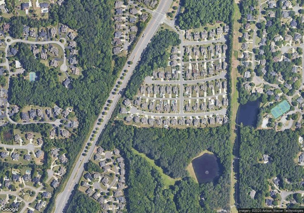
1938 Stone Bridge Ln Marietta, GA 30064
Estimated Value: $726,000 - $785,000
4
Beds
4
Baths
3,438
Sq Ft
$220/Sq Ft
Est. Value
About This Home
This home is located at 1938 Stone Bridge Ln, Marietta, GA 30064 and is currently estimated at $757,549, approximately $220 per square foot. 1938 Stone Bridge Ln is a home with nearby schools including West Side Elementary School, Marietta Sixth Grade Academy, and Marietta Middle School.
Ownership History
Date
Name
Owned For
Owner Type
Purchase Details
Closed on
Dec 11, 2020
Sold by
Markie Valerie
Bought by
Athnos Vicki L and Athnos Erik T
Current Estimated Value
Home Financials for this Owner
Home Financials are based on the most recent Mortgage that was taken out on this home.
Original Mortgage
$362,600
Outstanding Balance
$322,078
Interest Rate
2.7%
Mortgage Type
New Conventional
Estimated Equity
$435,471
Purchase Details
Closed on
Jan 27, 2016
Sold by
Jph Properties Llc
Bought by
Markle Nornan and Markle Valerie
Purchase Details
Closed on
Dec 11, 2014
Sold by
Hedden Evelyn
Bought by
Jph Properties Llc
Purchase Details
Closed on
Jan 18, 2013
Sold by
Hedden Jeff A
Bought by
Hedden Evelyn Ann
Create a Home Valuation Report for This Property
The Home Valuation Report is an in-depth analysis detailing your home's value as well as a comparison with similar homes in the area
Home Values in the Area
Average Home Value in this Area
Purchase History
| Date | Buyer | Sale Price | Title Company |
|---|---|---|---|
| Athnos Vicki L | $515,000 | None Available | |
| Markle Nornan | $364,900 | -- | |
| Jph Properties Llc | $400,000 | -- | |
| Hedden Evelyn Ann | $93,000 | -- |
Source: Public Records
Mortgage History
| Date | Status | Borrower | Loan Amount |
|---|---|---|---|
| Open | Athnos Vicki L | $362,600 |
Source: Public Records
Tax History Compared to Growth
Tax History
| Year | Tax Paid | Tax Assessment Tax Assessment Total Assessment is a certain percentage of the fair market value that is determined by local assessors to be the total taxable value of land and additions on the property. | Land | Improvement |
|---|---|---|---|---|
| 2025 | $1,528 | $265,860 | $58,000 | $207,860 |
| 2024 | $1,528 | $265,860 | $58,000 | $207,860 |
| 2023 | $1,376 | $252,056 | $58,000 | $194,056 |
| 2022 | $1,528 | $239,128 | $40,000 | $199,128 |
| 2021 | $1,555 | $203,528 | $40,000 | $163,528 |
| 2020 | $1,175 | $190,620 | $40,000 | $150,620 |
| 2019 | $1,174 | $184,452 | $40,000 | $144,452 |
| 2018 | $1,169 | $145,960 | $35,760 | $110,200 |
| 2017 | $938 | $145,960 | $35,760 | $110,200 |
| 2016 | $688 | $99,852 | $40,000 | $59,852 |
| 2015 | $225 | $30,000 | $30,000 | $0 |
| 2014 | $186 | $24,000 | $0 | $0 |
Source: Public Records
Map
Nearby Homes
- 1803 Stone Bridge Way
- 761 Hardage Farm Dr NW
- 606 Tabbystone St NW
- 608 Tabbystone St NW Unit 2
- 1981 Village Round NW
- 764 Sharpshooters Ridge NW
- 741 Crossfire Ridge NW
- 2358 New Salem Trace
- 510 Towneside Ln
- 2376 Tabbystone Ln NW
- 302 Summer Garden Dr
- 2429 Kirk Ln NW
- 1025 Ector Dr NW
- 319 Summer Garden Dr
- 2120 Kensington Gates Dr NW Unit L120
- 2160 Kensington Gates Dr NW
- 1934 Stone Bridge Ln
- 1942 Stone Bridge Ln
- 1843 Stone Bridge Way Unit 57
- 1843 Stone Bridge Way
- 1930 Stone Bridge Ln
- 1946 Stone Bridge Ln
- 1839 Stone Bridge Way
- 1835 Stone Bridge Way
- 1847 Stone Bridge Way
- 1941 Stone Bridge Ln
- 1945 Stone Bridge Ln
- 1937 Stone Bridge Ln
- 1831 Stone Bridge Way Unit 54
- 1831 Stone Bridge Way
- 1926 Stone Bridge Ln
- 1949 Stone Bridge Ln
- 1933 Stone Bridge Ln
- 1851 Stone Bridge Way
- 1950 Stone Bridge Ln
- 1827 Stone Bridge Way
