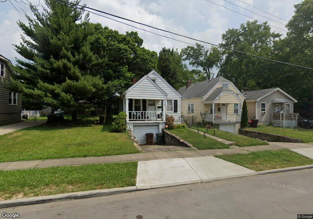
1938 Sundale Ave Cincinnati, OH 45239
Estimated Value: $135,663 - $162,000
4
Beds
1
Bath
864
Sq Ft
$172/Sq Ft
Est. Value
About This Home
This home is located at 1938 Sundale Ave, Cincinnati, OH 45239 and is currently estimated at $148,666, approximately $172 per square foot. 1938 Sundale Ave is a home located in Hamilton County with nearby schools including North College Hill Elementary School, North College Hill Middle School, and North College Hill High School.
Ownership History
Date
Name
Owned For
Owner Type
Purchase Details
Closed on
Aug 18, 2004
Sold by
Weitz Jeffrey S and Weitz Julie Forkner
Bought by
Gaines Perry and Gaines Cher O
Current Estimated Value
Create a Home Valuation Report for This Property
The Home Valuation Report is an in-depth analysis detailing your home's value as well as a comparison with similar homes in the area
Home Values in the Area
Average Home Value in this Area
Purchase History
| Date | Buyer | Sale Price | Title Company |
|---|---|---|---|
| Gaines Perry | $86,900 | -- |
Source: Public Records
Tax History Compared to Growth
Tax History
| Year | Tax Paid | Tax Assessment Tax Assessment Total Assessment is a certain percentage of the fair market value that is determined by local assessors to be the total taxable value of land and additions on the property. | Land | Improvement |
|---|---|---|---|---|
| 2024 | $1,292 | $25,540 | $4,568 | $20,972 |
| 2023 | $1,304 | $25,540 | $4,568 | $20,972 |
| 2022 | $1,348 | $18,855 | $4,550 | $14,305 |
| 2021 | $1,319 | $18,855 | $4,550 | $14,305 |
| 2020 | $1,157 | $18,855 | $4,550 | $14,305 |
| 2019 | $1,135 | $16,538 | $3,990 | $12,548 |
| 2018 | $1,136 | $16,538 | $3,990 | $12,548 |
| 2017 | $1,073 | $16,538 | $3,990 | $12,548 |
| 2016 | $1,154 | $18,887 | $4,442 | $14,445 |
| 2015 | $1,157 | $18,887 | $4,442 | $14,445 |
| 2014 | $1,155 | $18,887 | $4,442 | $14,445 |
| 2013 | $1,193 | $20,090 | $4,725 | $15,365 |
Source: Public Records
Map
Nearby Homes
- 1917 Dallas Ave
- 1944 Dallas Ave
- 1835 Dallas Ave
- 1818 Dallas Ave
- 1945 Emerson Ave
- 1917 Emerson Ave
- 2029 Sundale Ave
- 1830 Emerson Ave
- 1938 Cordova Ave
- 6505 Simpson Ave
- 1811 Sterling Ave
- 1802 Sundale Ave
- 1805 de Armand Ave
- 2035 Carpenter Dr
- 1948 Catalpa Ave
- 1811 Emerson Ave
- 6912 Noble Ave
- 6842 Grace Ave
- 6909 Lois Dr
- 6941 Mulberry St
- 1936 Sundale Ave
- 1934 Sundale Ave
- 1940 Sundale Ave
- 1942 Sundale Ave
- 1926 Sundale Ave
- 1937 Dallas Ave
- 1937 Sundale Ave
- 1935 Dallas Ave
- 1929 Dallas Ave
- 1933 Sundale Ave
- 1939 Dallas Ave
- 1945 Sundale Ave
- 1941 Sundale Ave
- 1923 Dallas Ave
- 1925 Dallas Ave
- 1941 Dallas Ave
- 1950 Sundale Ave
- 1923 Sundale Ave
- 1945 Dallas Ave
- 1947 Dallas Ave