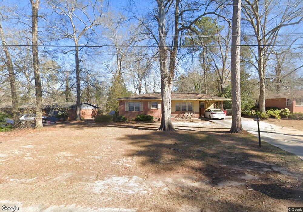
1938 Thomas Dr Macon, GA 31217
Estimated Value: $90,000 - $139,000
3
Beds
2
Baths
1,380
Sq Ft
$80/Sq Ft
Est. Value
About This Home
This home is located at 1938 Thomas Dr, Macon, GA 31217 and is currently estimated at $110,676, approximately $80 per square foot. 1938 Thomas Dr is a home located in Bibb County with nearby schools including Martin Luther King Jr. Elementary School, Appling Middle School, and Northeast High School.
Ownership History
Date
Name
Owned For
Owner Type
Purchase Details
Closed on
Aug 24, 2006
Sold by
Hope Melony J and Georgia Bibb
Bought by
Shinholster Omega L
Current Estimated Value
Purchase Details
Closed on
Jun 24, 2006
Sold by
Hope Melony J
Bought by
Shinholster Omega L
Purchase Details
Closed on
Nov 14, 2005
Sold by
Prg Realty Llc
Bought by
Hope Melony J
Purchase Details
Closed on
Nov 10, 2005
Sold by
Whitten Martha Johnson
Bought by
Prg Realty Llc
Create a Home Valuation Report for This Property
The Home Valuation Report is an in-depth analysis detailing your home's value as well as a comparison with similar homes in the area
Home Values in the Area
Average Home Value in this Area
Purchase History
| Date | Buyer | Sale Price | Title Company |
|---|---|---|---|
| Shinholster Omega L | $75,500 | None Avilabale | |
| Shinholster Omega L | $75,500 | -- | |
| Hope Melony J | $49,900 | None Available | |
| Prg Realty Llc | $30,000 | None Available |
Source: Public Records
Tax History Compared to Growth
Tax History
| Year | Tax Paid | Tax Assessment Tax Assessment Total Assessment is a certain percentage of the fair market value that is determined by local assessors to be the total taxable value of land and additions on the property. | Land | Improvement |
|---|---|---|---|---|
| 2025 | $688 | $34,981 | $2,894 | $32,087 |
| 2024 | $625 | $31,611 | $2,516 | $29,095 |
| 2023 | $168 | $31,611 | $2,516 | $29,095 |
| 2022 | $563 | $23,249 | $2,412 | $20,837 |
| 2021 | $391 | $17,299 | $1,608 | $15,691 |
| 2020 | $309 | $14,957 | $1,340 | $13,617 |
| 2019 | $311 | $14,957 | $1,340 | $13,617 |
| 2018 | $657 | $14,957 | $1,340 | $13,617 |
| 2017 | $298 | $14,957 | $1,340 | $13,617 |
| 2016 | $286 | $15,274 | $1,340 | $13,934 |
| 2015 | $428 | $15,721 | $1,787 | $13,934 |
| 2014 | $631 | $17,292 | $2,680 | $14,612 |
Source: Public Records
Map
Nearby Homes
- 2146 Melton Ave
- 837 Artic Cir
- 2229 New Clinton Rd
- 2066 Melton Ave
- 1840 Kinder Kare Dr
- 2130 New Clinton Rd
- 1818 Kinder Kare Dr
- 875 Artic Cir
- 875 Artic Place
- 2371 Kensington Rd
- 4436 Jeffersonville Rd
- 909 Johnson St
- 2458 Tredway Dr
- 1008 Sunnydale Dr
- 1030 Forsyth Ave
- 2761 Walnut Creek Rd
- 2630 Pauladale Dr
- 1209 Eastview Ave
- 1213 Eastview Ave
- 806 Magnolia Dr