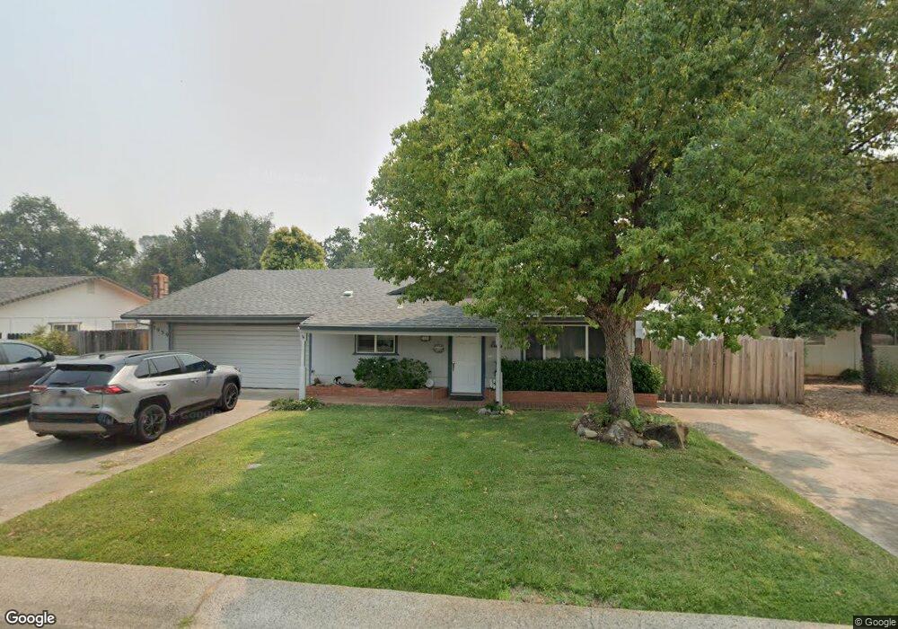
1939 Cameo Ct Unit 1 Redding, CA 96002
Mistletoe NeighborhoodEstimated Value: $389,177 - $408,000
4
Beds
2
Baths
2,480
Sq Ft
$160/Sq Ft
Est. Value
About This Home
This home is located at 1939 Cameo Ct Unit 1, Redding, CA 96002 and is currently estimated at $397,544, approximately $160 per square foot. 1939 Cameo Ct Unit 1 is a home located in Shasta County with nearby schools including Mistletoe Elementary School, Enterprise High School, and Montessori Children's House of Shady Oaks.
Ownership History
Date
Name
Owned For
Owner Type
Purchase Details
Closed on
Mar 13, 2026
Sold by
Hult Eric and Hult Jana L
Bought by
Kirby Sean
Current Estimated Value
Home Financials for this Owner
Home Financials are based on the most recent Mortgage that was taken out on this home.
Original Mortgage
$339,150
Outstanding Balance
$339,150
Interest Rate
6.11%
Mortgage Type
New Conventional
Estimated Equity
$58,394
Purchase Details
Closed on
Feb 10, 2022
Sold by
Eric Hult
Bought by
Hult Family Trust
Purchase Details
Closed on
Jan 18, 2000
Sold by
The Bank Of New York
Bought by
Hult Eric and Hult Jana
Home Financials for this Owner
Home Financials are based on the most recent Mortgage that was taken out on this home.
Original Mortgage
$77,000
Interest Rate
8.06%
Mortgage Type
Purchase Money Mortgage
Purchase Details
Closed on
Dec 6, 1999
Sold by
Rorison Gordon T and Rorison Marlene
Bought by
Master Servicer
Home Financials for this Owner
Home Financials are based on the most recent Mortgage that was taken out on this home.
Original Mortgage
$77,000
Interest Rate
8.06%
Mortgage Type
Purchase Money Mortgage
Create a Home Valuation Report for This Property
The Home Valuation Report is an in-depth analysis detailing your home's value as well as a comparison with similar homes in the area
Home Values in the Area
Average Home Value in this Area
Purchase History
| Date | Buyer | Sale Price | Title Company |
|---|---|---|---|
| Kirby Sean | $399,000 | Placer Title | |
| Hult Family Trust | -- | None Listed On Document | |
| Hult Eric | $117,000 | Fidelity National Title Co | |
| Master Servicer | $110,205 | First American Title Co |
Source: Public Records
Mortgage History
| Date | Status | Borrower | Loan Amount |
|---|---|---|---|
| Open | Kirby Sean | $339,150 | |
| Previous Owner | Hult Eric | $77,000 |
Source: Public Records
Tax History
| Year | Tax Paid | Tax Assessment Tax Assessment Total Assessment is a certain percentage of the fair market value that is determined by local assessors to be the total taxable value of land and additions on the property. | Land | Improvement |
|---|---|---|---|---|
| 2025 | $1,893 | $179,800 | $38,413 | $141,387 |
| 2024 | $1,865 | $176,275 | $37,660 | $138,615 |
| 2023 | $1,865 | $172,820 | $36,922 | $135,898 |
| 2022 | $1,811 | $169,433 | $36,199 | $133,234 |
| 2021 | $1,748 | $166,112 | $35,490 | $130,622 |
| 2020 | $1,739 | $164,410 | $35,127 | $129,283 |
| 2019 | $1,724 | $161,188 | $34,439 | $126,749 |
| 2018 | $1,702 | $158,028 | $33,764 | $124,264 |
| 2017 | $1,730 | $154,930 | $33,102 | $121,828 |
| 2016 | $1,618 | $151,893 | $32,453 | $119,440 |
| 2015 | $1,603 | $149,612 | $31,966 | $117,646 |
| 2014 | $1,590 | $146,682 | $31,340 | $115,342 |
Source: Public Records
Map
Nearby Homes
- 1953 Cameo Ct
- 2093 Victor Ave
- 1750 Hawthorne Ct
- 1005 Grissom Ct
- 1890 Manchester Dr
- 1018 Pineland Dr
- 1479 Atajo Ct
- 1865 Dellwood Dr
- 1701 E Cypress Ave
- 2583 Reservoir Ln
- 2631 Alfreda Way
- 1285 Lancers Ln
- 785 Mallard St
- 2090 Tuscany Way
- 2370 Candlewood Dr
- 2820 Alfreda Way
- 1376 Fitz Place
- 2855 Irwin Rd
- 1945 Salzburg Trail
- 2906 Regal Ave
- 1925 Cameo Ct
- 1942 Lindeena Ln
- 1907 Cameo Ct
- 1971 Cameo Ct
- 1960 Lindeena Ln
- 1908 Lindeena Ln
- 1936 Cameo Ct
- 1950 Cameo Ct
- 1976 Lindeena Ln
- 1922 Cameo Ct
- 1968 Cameo Ct
- 1893 Cameo Ct
- 1985 Cameo Ct
- 1892 Lindeena Ln
- 1904 Cameo Ct
- 1598 Mistletoe Ln
- 1879 Cameo Ct
- 1986 Cameo Ct
- 1943 Lindeena Ln
- 0 Lindeena Ln
Your Personal Tour Guide
Ask me questions while you tour the home.