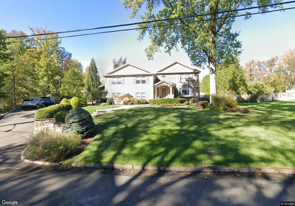
1939 Duncan Dr Scotch Plains, NJ 07076
Estimated Value: $983,336 - $1,487,000
--
Bed
--
Bath
2,718
Sq Ft
$476/Sq Ft
Est. Value
About This Home
This home is located at 1939 Duncan Dr, Scotch Plains, NJ 07076 and is currently estimated at $1,294,584, approximately $476 per square foot. 1939 Duncan Dr is a home located in Union County with nearby schools including William J. McGinn Elementary School, Terrill Middle School, and Scotch Plains-Fanwood High School.
Ownership History
Date
Name
Owned For
Owner Type
Purchase Details
Closed on
Mar 9, 2009
Sold by
Lyght Eric S and Lyght Rose Marie
Bought by
Lyght Eric S and Lyght Rose Marie
Current Estimated Value
Purchase Details
Closed on
Jul 18, 2003
Sold by
Lyght Eric
Bought by
Rose Marie Lyght
Create a Home Valuation Report for This Property
The Home Valuation Report is an in-depth analysis detailing your home's value as well as a comparison with similar homes in the area
Home Values in the Area
Average Home Value in this Area
Purchase History
| Date | Buyer | Sale Price | Title Company |
|---|---|---|---|
| Lyght Eric S | -- | Chicago Title Insurance Co | |
| Rose Marie Lyght | $585,000 | -- |
Source: Public Records
Tax History Compared to Growth
Tax History
| Year | Tax Paid | Tax Assessment Tax Assessment Total Assessment is a certain percentage of the fair market value that is determined by local assessors to be the total taxable value of land and additions on the property. | Land | Improvement |
|---|---|---|---|---|
| 2025 | $25,960 | $220,600 | $54,800 | $165,800 |
| 2024 | $25,195 | $220,600 | $54,800 | $165,800 |
| 2023 | $25,195 | $220,600 | $54,800 | $165,800 |
| 2022 | $24,895 | $220,600 | $54,800 | $165,800 |
| 2021 | $24,853 | $220,600 | $54,800 | $165,800 |
| 2020 | $24,734 | $220,600 | $54,800 | $165,800 |
| 2019 | $24,551 | $220,600 | $54,800 | $165,800 |
| 2018 | $24,138 | $220,600 | $54,800 | $165,800 |
| 2017 | $23,602 | $220,600 | $54,800 | $165,800 |
| 2016 | $23,148 | $220,600 | $54,800 | $165,800 |
| 2015 | $22,768 | $213,000 | $54,800 | $158,200 |
| 2014 | $21,260 | $213,000 | $54,800 | $158,200 |
Source: Public Records
Map
Nearby Homes
- 2 Brookside Ct
- 1972 W Broad St
- 2 Dutch Ln
- 57 Rambling Dr
- 1466 Lamberts Mill Rd
- 1933 Mary Ellen Ln
- 2154 W Broad St
- 119 Lamberts Mill Rd
- 314 Highgate Ave
- 2 Unami Ln
- 2116 Newark Ave
- 1148 Tanglewood Ln
- 1380 Terrill Rd
- 187 King St
- 1840 Raritan Rd
- 1701 Raritan Rd
- 1621 Terrill Rd
- 525 Edgar Rd
- 524 Edgar Rd
- 1840 Lake Ave
- 1931 Duncan Dr
- 1947 Duncan Dr
- 1968 Parkwood Dr
- 1956 Parkwood Dr
- 1978 Parkwood Dr
- 1944 Parkwood Dr
- 1942 Duncan Dr
- 1923 Duncan Dr
- 1950 Duncan Dr
- 1957 Duncan Dr
- 1967 Parkwood Dr
- 1992 Parkwood Dr
- 1955 Parkwood Dr
- 2 Norwegian Woods
- 2 Norwegianwoods
- 1977 Parkwood Dr
- 1915 Duncan Dr
- 1943 Parkwood Dr
- 1958 Duncan Dr
- 1926 Parkwood Dr