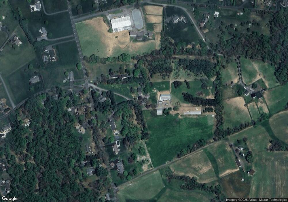
1939 High Point Rd Forest Hill, MD 21050
Estimated Value: $651,000 - $1,019,815
--
Bed
1
Bath
2,168
Sq Ft
$382/Sq Ft
Est. Value
About This Home
This home is located at 1939 High Point Rd, Forest Hill, MD 21050 and is currently estimated at $827,605, approximately $381 per square foot. 1939 High Point Rd is a home located in Harford County with nearby schools including Forest Lakes Elementary School, Fallston Middle School, and Fallston High School.
Ownership History
Date
Name
Owned For
Owner Type
Purchase Details
Closed on
Mar 1, 1991
Sold by
Hohl Michael and Hohl Wf
Bought by
Bailey Wilson E and Bailey Elizabeth S
Current Estimated Value
Home Financials for this Owner
Home Financials are based on the most recent Mortgage that was taken out on this home.
Original Mortgage
$163,000
Interest Rate
9.4%
Create a Home Valuation Report for This Property
The Home Valuation Report is an in-depth analysis detailing your home's value as well as a comparison with similar homes in the area
Home Values in the Area
Average Home Value in this Area
Purchase History
| Date | Buyer | Sale Price | Title Company |
|---|---|---|---|
| Bailey Wilson E | $165,000 | -- |
Source: Public Records
Mortgage History
| Date | Status | Borrower | Loan Amount |
|---|---|---|---|
| Closed | Bailey Wilson E | $163,000 |
Source: Public Records
Tax History Compared to Growth
Tax History
| Year | Tax Paid | Tax Assessment Tax Assessment Total Assessment is a certain percentage of the fair market value that is determined by local assessors to be the total taxable value of land and additions on the property. | Land | Improvement |
|---|---|---|---|---|
| 2025 | $5,446 | $646,600 | $174,900 | $471,700 |
| 2024 | $5,446 | $599,667 | $0 | $0 |
| 2023 | $4,934 | $552,733 | $0 | $0 |
| 2022 | $4,423 | $505,800 | $166,700 | $339,100 |
| 2021 | $5,651 | $495,133 | $0 | $0 |
| 2020 | $5,651 | $322,333 | $0 | $0 |
| 2019 | $1,832 | $253,200 | $140,800 | $112,400 |
| 2018 | $2,765 | $336,133 | $0 | $0 |
| 2017 | $2,754 | $337,100 | $0 | $0 |
| 2016 | -- | $334,200 | $0 | $0 |
| 2015 | $2,671 | $332,967 | $0 | $0 |
| 2014 | $2,671 | $331,733 | $0 | $0 |
Source: Public Records
Map
Nearby Homes
- 1701 Ingleside Rd
- 1738 Shanwick Rd
- 1775 Pleasantville Rd
- 1201 Turnbridge Rd
- 1605 Henry Way
- 1720 Grafton Shop Rd
- 1932 Pleasantville Rd
- 2286 Phillips Mill Rd
- 1605 Kiersten Ct
- 1606 Big Timber Ct
- 1705 Moonriver Ct
- 2011 Fallsgrove Way
- 1907 Munsey Dr
- 825 Yvette Dr
- 2010 Brandy Dr
- 1706 Abelia Rd
- 1205 Bear Hollow Ct
- 730 Hollywood Place
- 801 Oaklawn Dr
- 2131 Baldwin Mill Rd
- 2003 High Point Rd
- 1911 High Point Rd
- 1621 Denwright Ct
- 1937 High Point Rd
- 1909 High Point Rd
- 1907 High Point Rd
- 1938 High Point Rd
- 1918 High Point Rd
- 1916 High Point Rd
- 2037 High Point Rd
- 1617 Denwright Ct
- 1910 High Point Rd
- 2021 High Point Rd
- 1703 Cosner Rd
- 2000 High Point Rd
- 1900 High Point Rd
- 1901 High Point Rd
- 1818 High Point Rd
- 1705 Cosner Rd
- 1639 Denwright Ct
