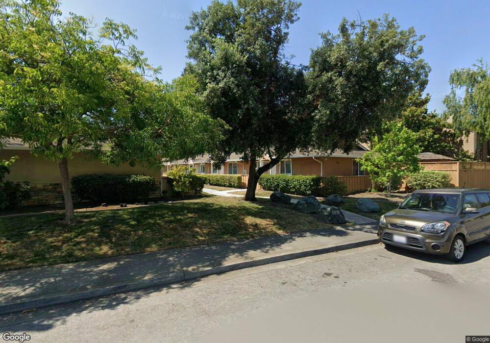
1939 Rock St Unit 1 Mountain View, CA 94043
Monta Loma NeighborhoodEstimated Value: $764,000 - $1,080,000
3
Beds
2
Baths
1,064
Sq Ft
$865/Sq Ft
Est. Value
About This Home
This home is located at 1939 Rock St Unit 1, Mountain View, CA 94043 and is currently estimated at $920,174, approximately $864 per square foot. 1939 Rock St Unit 1 is a home located in Santa Clara County with nearby schools including Monta Loma Elementary School, Crittenden Middle School, and Los Altos High School.
Ownership History
Date
Name
Owned For
Owner Type
Purchase Details
Closed on
Jul 27, 2010
Sold by
Palmer Peter
Bought by
Fork David K
Current Estimated Value
Home Financials for this Owner
Home Financials are based on the most recent Mortgage that was taken out on this home.
Original Mortgage
$90,000
Outstanding Balance
$59,438
Interest Rate
4.52%
Mortgage Type
Seller Take Back
Estimated Equity
$860,736
Create a Home Valuation Report for This Property
The Home Valuation Report is an in-depth analysis detailing your home's value as well as a comparison with similar homes in the area
Home Values in the Area
Average Home Value in this Area
Purchase History
| Date | Buyer | Sale Price | Title Company |
|---|---|---|---|
| Fork David K | $525,000 | Fidelity National Title Co |
Source: Public Records
Mortgage History
| Date | Status | Borrower | Loan Amount |
|---|---|---|---|
| Open | Fork David K | $90,000 |
Source: Public Records
Tax History
| Year | Tax Paid | Tax Assessment Tax Assessment Total Assessment is a certain percentage of the fair market value that is determined by local assessors to be the total taxable value of land and additions on the property. | Land | Improvement |
|---|---|---|---|---|
| 2025 | $8,125 | $672,602 | $437,131 | $235,471 |
| 2024 | $8,125 | $659,414 | $428,560 | $230,854 |
| 2023 | $8,021 | $646,485 | $420,157 | $226,328 |
| 2022 | $7,998 | $633,810 | $411,919 | $221,891 |
| 2021 | $7,813 | $621,384 | $403,843 | $217,541 |
| 2020 | $7,768 | $615,014 | $399,703 | $215,311 |
| 2019 | $7,431 | $602,956 | $391,866 | $211,090 |
| 2018 | $7,370 | $591,134 | $384,183 | $206,951 |
| 2017 | $7,041 | $579,544 | $376,650 | $202,894 |
| 2016 | $6,819 | $568,181 | $369,265 | $198,916 |
| 2015 | $6,647 | $559,648 | $363,719 | $195,929 |
| 2014 | $6,488 | $548,687 | $356,595 | $192,092 |
Source: Public Records
Map
Nearby Homes
- 417 Saint Emilion Ct
- 1114 Burgoyne St
- 1908 Newbury Dr Unit 69
- 2041 Atlas Loop
- 2045 Atlas Loop
- 853B Sierra Vista Ave
- 2039 Colony St
- 1951 Plymouth St
- 347 N Rengstorff Ave
- 311 Marquetta Cir
- 888 N Rengstorff Ave
- 290 N Rengstorff Ave
- 2047 Montecito Ave Unit 2
- 243 Sierra Vista Ave
- 455 Lotus Ln
- 1 Comstock Queen Ct
- 1109 Wright Ave
- 2375 Adele Ave
- 1826 Higdon Ave
- 2483 Whitney Dr
- 1939 Rock St Unit 19
- 1939 Rock St Unit 16
- 1939 Rock St Unit 15
- 1939 Rock St Unit 14
- 1939 Rock St Unit 13
- 1939 Rock St Unit 12
- 1939 Rock St Unit 10
- 1939 Rock St Unit 9
- 1939 Rock St Unit 7
- 1939 Rock St Unit 6
- 1939 Rock St Unit 5
- 1939 Rock St Unit 3
- 1939 Rock St Unit 2
- 1939 Rock St Unit 18
- 1939 Rock St Unit 17
- 1939 Rock St Unit 8
- 1935 Rock St
- 658 Sierra Vista Ave
- 691 Sierra Vista Ave
- 1921 Rock St Unit 13
Your Personal Tour Guide
Ask me questions while you tour the home.