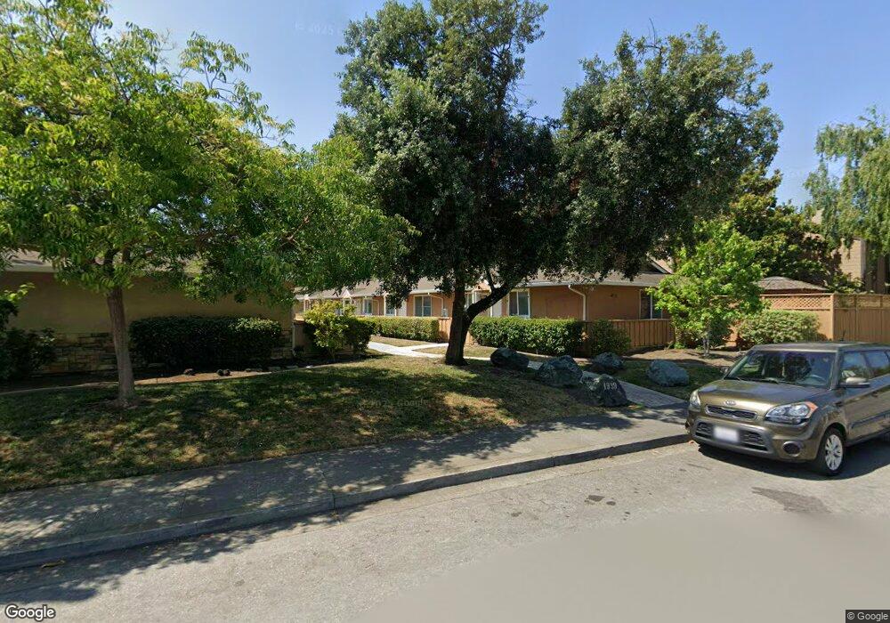
1939 Rock St Unit 19 Mountain View, CA 94043
Monta Loma NeighborhoodEstimated Value: $574,044 - $1,012,000
1
Bed
1
Bath
697
Sq Ft
$1,160/Sq Ft
Est. Value
About This Home
This home is located at 1939 Rock St Unit 19, Mountain View, CA 94043 and is currently estimated at $808,761, approximately $1,160 per square foot. 1939 Rock St Unit 19 is a home located in Santa Clara County with nearby schools including Monta Loma Elementary School, Crittenden Middle School, and Los Altos High School.
Ownership History
Date
Name
Owned For
Owner Type
Purchase Details
Closed on
Jul 29, 2011
Sold by
Wu Walter
Bought by
Chang Wanchi
Current Estimated Value
Purchase Details
Closed on
Jun 6, 2011
Sold by
Shinn Daniel Y
Bought by
Wu Walter
Purchase Details
Closed on
May 1, 2007
Sold by
Imagination Rockwood Lp
Bought by
Shinn Daniel Y
Home Financials for this Owner
Home Financials are based on the most recent Mortgage that was taken out on this home.
Original Mortgage
$413,250
Interest Rate
6.73%
Mortgage Type
Purchase Money Mortgage
Create a Home Valuation Report for This Property
The Home Valuation Report is an in-depth analysis detailing your home's value as well as a comparison with similar homes in the area
Home Values in the Area
Average Home Value in this Area
Purchase History
| Date | Buyer | Sale Price | Title Company |
|---|---|---|---|
| Chang Wanchi | $301,500 | First American Title Company | |
| Wu Walter | -- | First American Title Company | |
| Chang Wanchi | -- | First American Title Company | |
| Wu Walter | $225,000 | First American Title Company | |
| Shinn Daniel Y | $435,000 | Commonwealth Land Title Co |
Source: Public Records
Mortgage History
| Date | Status | Borrower | Loan Amount |
|---|---|---|---|
| Previous Owner | Shinn Daniel Y | $413,250 |
Source: Public Records
Tax History Compared to Growth
Tax History
| Year | Tax Paid | Tax Assessment Tax Assessment Total Assessment is a certain percentage of the fair market value that is determined by local assessors to be the total taxable value of land and additions on the property. | Land | Improvement |
|---|---|---|---|---|
| 2025 | $4,696 | $378,690 | $189,345 | $189,345 |
| 2024 | $4,696 | $371,266 | $185,633 | $185,633 |
| 2023 | $4,637 | $363,988 | $181,994 | $181,994 |
| 2022 | $4,624 | $356,852 | $178,426 | $178,426 |
| 2021 | $4,518 | $349,856 | $174,928 | $174,928 |
| 2020 | $4,493 | $346,270 | $173,135 | $173,135 |
| 2019 | $4,303 | $339,482 | $169,741 | $169,741 |
| 2018 | $4,274 | $332,826 | $166,413 | $166,413 |
| 2017 | $4,089 | $326,300 | $163,150 | $163,150 |
| 2016 | $3,930 | $319,902 | $159,951 | $159,951 |
| 2015 | $3,833 | $315,098 | $157,549 | $157,549 |
| 2014 | $3,789 | $308,926 | $154,463 | $154,463 |
Source: Public Records
Map
Nearby Homes
- 1963 Rock St Unit 4
- 1963 Rock St Unit 24
- 2000 Rock St Unit 7
- 453 N Rengstorff Ave Unit 15
- 856 Sycamore Loop
- 2045 Atlas Loop
- 748 Cottage Ct
- 421 Sierra Vista Ave Unit 9
- 853B Sierra Vista Ave
- 1387 W Middlefield Rd
- 1993 Plymouth St Unit 11
- 1951 Plymouth St
- 2214 Raspberry Ln
- 363 N Rengstorff Ave Unit 5
- 1269 Verano Rd
- 347 N Rengstorff Ave
- 1956 Montecito Ave
- 2012 Montecito Ave
- 2047 Montecito Ave Unit 2
- 2524 W Middlefield Rd Unit 2
- 1939 Rock St Unit 16
- 1939 Rock St Unit 15
- 1939 Rock St Unit 14
- 1939 Rock St Unit 13
- 1939 Rock St Unit 12
- 1939 Rock St Unit 10
- 1939 Rock St Unit 9
- 1939 Rock St Unit 7
- 1939 Rock St Unit 6
- 1939 Rock St Unit 5
- 1939 Rock St Unit 3
- 1939 Rock St Unit 2
- 1939 Rock St Unit 18
- 1939 Rock St Unit 17
- 1939 Rock St Unit 8
- 1939 Rock St Unit 1
- 1935 Rock St
- 658 Sierra Vista Ave
- 691 Sierra Vista Ave
- 1921 Rock St Unit 13