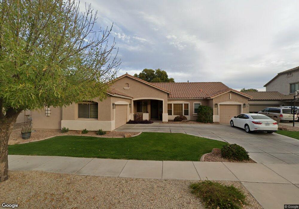
19398 E Mockingbird Dr Queen Creek, AZ 85142
Emperor Estates NeighborhoodEstimated Value: $546,119 - $622,000
Studio
4
Baths
2,501
Sq Ft
$235/Sq Ft
Est. Value
About This Home
This home is located at 19398 E Mockingbird Dr, Queen Creek, AZ 85142 and is currently estimated at $588,780, approximately $235 per square foot. 19398 E Mockingbird Dr is a home located in Maricopa County with nearby schools including Desert Mountain Elementary School, Queen Creek Junior High School, and Benjamin Franklin Charter School - Power.
Ownership History
Date
Name
Owned For
Owner Type
Purchase Details
Closed on
Oct 11, 2004
Sold by
Pulte Home Corp
Bought by
Burns T Britt and Burns Brooke L
Current Estimated Value
Home Financials for this Owner
Home Financials are based on the most recent Mortgage that was taken out on this home.
Original Mortgage
$170,377
Outstanding Balance
$85,677
Interest Rate
6%
Mortgage Type
New Conventional
Estimated Equity
$503,103
Create a Home Valuation Report for This Property
The Home Valuation Report is an in-depth analysis detailing your home's value as well as a comparison with similar homes in the area
Home Values in the Area
Average Home Value in this Area
Purchase History
| Date | Buyer | Sale Price | Title Company |
|---|---|---|---|
| Burns T Britt | $212,972 | Transnation Title |
Source: Public Records
Mortgage History
| Date | Status | Borrower | Loan Amount |
|---|---|---|---|
| Open | Burns T Britt | $170,377 | |
| Closed | Burns T Britt | $42,594 |
Source: Public Records
Tax History
| Year | Tax Paid | Tax Assessment Tax Assessment Total Assessment is a certain percentage of the fair market value that is determined by local assessors to be the total taxable value of land and additions on the property. | Land | Improvement |
|---|---|---|---|---|
| 2025 | $2,209 | $25,417 | -- | -- |
| 2024 | $2,387 | $24,207 | -- | -- |
| 2023 | $2,387 | $44,310 | $8,860 | $35,450 |
| 2022 | $2,310 | $33,680 | $6,730 | $26,950 |
| 2021 | $2,366 | $30,710 | $6,140 | $24,570 |
| 2020 | $2,292 | $28,480 | $5,690 | $22,790 |
| 2019 | $2,270 | $25,850 | $5,170 | $20,680 |
| 2018 | $2,471 | $24,080 | $4,810 | $19,270 |
| 2017 | $2,413 | $22,770 | $4,550 | $18,220 |
| 2016 | $2,333 | $22,250 | $4,450 | $17,800 |
| 2015 | $1,931 | $20,450 | $4,090 | $16,360 |
Source: Public Records
Map
Nearby Homes
- 19357 E Raven Dr
- 19426 E Mockingbird Dr
- 19403 E Arrowhead Trail
- 19837 S 192nd Place
- 19384 E Timberline Rd
- 19286 E Carriage Way
- 19371 E Carriage Way
- 19293 E Carriage Way
- 19305 E Thornton Rd
- 19705 E Emperor Blvd
- 19736 E Emperor Blvd
- 19136 E Canary Way
- 19057 E Reins Rd
- 19113 E Mockingbird Dr
- 19674 E Thornton Rd
- 19757 S 190th Dr
- 19559 E Strawberry Dr
- 20287 S 198th St
- 20601 S 196th St
- 19837 E Carriage Way
- 19384 E Mockingbird Dr
- 19412 E Mockingbird Dr
- 19397 E Raven Dr
- 19411 E Raven Dr
- 19385 E Raven Dr
- 19370 E Mockingbird Dr
- 19395 E Mockingbird Dr
- 19425 E Raven Dr
- 19409 E Mockingbird Dr
- 19381 E Mockingbird Dr
- 19371 E Raven Dr
- 19423 E Mockingbird Dr
- 19439 E Raven Dr
- 19356 E Mockingbird Dr
- 19367 E Mockingbird Dr
- 19402 E Raven Dr
- 19416 E Raven Dr
- 19388 E Raven Dr
- 19353 E Mockingbird Dr
- 19342 E Mockingbird Dr
Your Personal Tour Guide
Ask me questions while you tour the home.