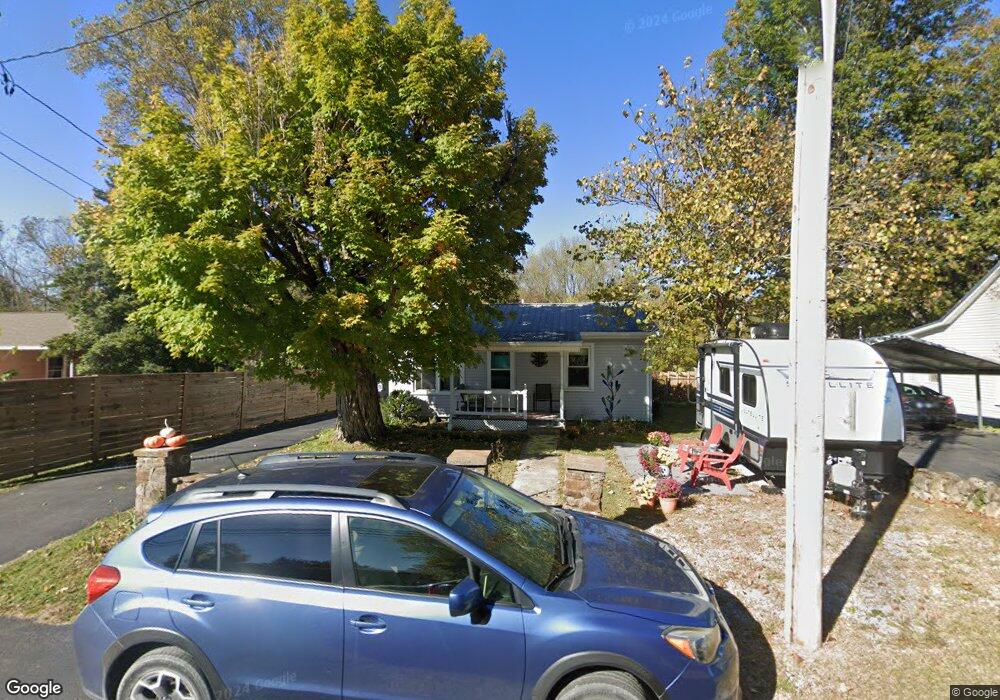
194 1st St Monteagle, TN 37356
Estimated Value: $142,000 - $225,000
2
Beds
1
Bath
921
Sq Ft
$217/Sq Ft
Est. Value
About This Home
This home is located at 194 1st St, Monteagle, TN 37356 and is currently estimated at $200,125, approximately $217 per square foot. 194 1st St is a home located in Grundy County with nearby schools including St. Andrew's-Sewanee School.
Ownership History
Date
Name
Owned For
Owner Type
Purchase Details
Closed on
May 27, 2014
Sold by
Wiley Larry
Bought by
Wallace Merle
Current Estimated Value
Home Financials for this Owner
Home Financials are based on the most recent Mortgage that was taken out on this home.
Original Mortgage
$62,400
Outstanding Balance
$47,333
Interest Rate
4.36%
Mortgage Type
New Conventional
Estimated Equity
$152,792
Purchase Details
Closed on
Oct 22, 2010
Sold by
Sehorne Max W
Bought by
Wiley Larry
Purchase Details
Closed on
Jul 24, 2002
Sold by
Smith Johnny Ray and Smith Joan
Bought by
Sehorne Max W
Purchase Details
Closed on
Jul 19, 2002
Sold by
Smith Johnny Ray
Bought by
Smith Johnny Ray
Purchase Details
Closed on
Dec 14, 1987
Bought by
Bennett Rollie T
Purchase Details
Closed on
Nov 30, 1985
Bought by
Lumkin Vera
Create a Home Valuation Report for This Property
The Home Valuation Report is an in-depth analysis detailing your home's value as well as a comparison with similar homes in the area
Home Values in the Area
Average Home Value in this Area
Purchase History
| Date | Buyer | Sale Price | Title Company |
|---|---|---|---|
| Wallace Merle | $78,000 | -- | |
| Wiley Larry | -- | -- | |
| Sehorne Max W | $25,000 | -- | |
| Smith Johnny Ray | -- | -- | |
| Bennett Rollie T | -- | -- | |
| Lumkin Vera | -- | -- |
Source: Public Records
Mortgage History
| Date | Status | Borrower | Loan Amount |
|---|---|---|---|
| Open | Wallace Merle | $62,400 |
Source: Public Records
Tax History Compared to Growth
Tax History
| Year | Tax Paid | Tax Assessment Tax Assessment Total Assessment is a certain percentage of the fair market value that is determined by local assessors to be the total taxable value of land and additions on the property. | Land | Improvement |
|---|---|---|---|---|
| 2025 | $443 | $31,075 | $0 | $0 |
| 2024 | $443 | $31,075 | $6,050 | $25,025 |
| 2023 | $443 | $31,075 | $6,050 | $25,025 |
| 2022 | $418 | $18,875 | $3,950 | $14,925 |
| 2021 | $418 | $18,875 | $3,950 | $14,925 |
| 2020 | $418 | $18,875 | $3,950 | $14,925 |
| 2019 | $412 | $16,375 | $1,450 | $14,925 |
| 2018 | $412 | $16,250 | $1,450 | $14,800 |
| 2017 | $412 | $16,250 | $1,450 | $14,800 |
| 2016 | $412 | $16,250 | $1,450 | $14,800 |
| 2015 | $412 | $16,250 | $1,450 | $14,800 |
| 2014 | $412 | $16,250 | $0 | $0 |
Source: Public Records
Map
Nearby Homes
- 115 1st St
- 0 Spring St
- 12 Moffat St
- 51 Mossy Rock Ln
- 84 Sunset Bluff Way
- 233 S Central Ave
- 405 Spring St
- 510 Lautzenheiser Place
- 520 Lautzenheiser Place
- 26 Parker St
- 0 Laurel Lake Dr Unit 1513629
- 0 Laurel Lake Dr Unit 1513636
- 0 Laurel Lake Dr Unit RTC2891060
- 0 Laurel Lake Dr Unit RTC3051531
- 0 Laurel Lake Dr Unit 1513632
- 0 Laurel Lake Dr Unit RTC2891059
- 0 Laurel Lake Dr Unit 1513634
- 0 Laurel Lake Dr Unit RTC2891058
- 0 Laurel Lake Dr Unit RTC2891063
- 375 Nickajack Trail