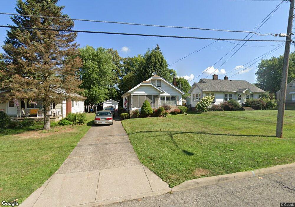
194 Afton Ave Youngstown, OH 44512
Estimated Value: $132,702 - $167,000
2
Beds
1
Bath
1,523
Sq Ft
$101/Sq Ft
Est. Value
About This Home
This home is located at 194 Afton Ave, Youngstown, OH 44512 and is currently estimated at $153,926, approximately $101 per square foot. 194 Afton Ave is a home located in Mahoning County with nearby schools including Boardman Glenwood Junior High School, Boardman High School, and Horizon Science Academy - Youngstown.
Ownership History
Date
Name
Owned For
Owner Type
Purchase Details
Closed on
Feb 27, 2001
Sold by
Va
Bought by
Wild Tina M
Current Estimated Value
Home Financials for this Owner
Home Financials are based on the most recent Mortgage that was taken out on this home.
Original Mortgage
$40,500
Outstanding Balance
$14,869
Interest Rate
7.13%
Estimated Equity
$139,057
Purchase Details
Closed on
Jan 14, 1997
Sold by
Jardine John F
Bought by
Tackett Reece and Tackett Amy L
Home Financials for this Owner
Home Financials are based on the most recent Mortgage that was taken out on this home.
Original Mortgage
$60,180
Interest Rate
7.58%
Mortgage Type
VA
Create a Home Valuation Report for This Property
The Home Valuation Report is an in-depth analysis detailing your home's value as well as a comparison with similar homes in the area
Home Values in the Area
Average Home Value in this Area
Purchase History
| Date | Buyer | Sale Price | Title Company |
|---|---|---|---|
| Wild Tina M | -- | -- | |
| Tackett Reece | $59,000 | -- |
Source: Public Records
Mortgage History
| Date | Status | Borrower | Loan Amount |
|---|---|---|---|
| Open | Wild Tina M | $40,500 | |
| Previous Owner | Tackett Reece | $60,180 |
Source: Public Records
Tax History Compared to Growth
Tax History
| Year | Tax Paid | Tax Assessment Tax Assessment Total Assessment is a certain percentage of the fair market value that is determined by local assessors to be the total taxable value of land and additions on the property. | Land | Improvement |
|---|---|---|---|---|
| 2024 | $1,987 | $34,510 | $4,250 | $30,260 |
| 2023 | $1,778 | $34,510 | $4,250 | $30,260 |
| 2022 | $1,444 | $21,350 | $3,930 | $17,420 |
| 2021 | $1,445 | $21,350 | $3,930 | $17,420 |
| 2020 | $1,453 | $21,350 | $3,930 | $17,420 |
| 2019 | $1,410 | $18,250 | $3,360 | $14,890 |
| 2018 | $1,222 | $18,250 | $3,360 | $14,890 |
| 2017 | $1,204 | $18,250 | $3,360 | $14,890 |
| 2016 | $1,261 | $18,940 | $3,760 | $15,180 |
| 2015 | $1,236 | $18,940 | $3,760 | $15,180 |
| 2014 | $1,240 | $18,940 | $3,760 | $15,180 |
| 2013 | $1,226 | $18,940 | $3,760 | $15,180 |
Source: Public Records
Map
Nearby Homes
- 167 Afton Ave
- 127 Melrose Ave
- 149 Argyle Ave
- 81 Melrose Ave
- 329 Afton Ave
- 0 Mathews Rd Unit 5038026
- 175 Homestead Dr
- 0 Indianola Rd
- 44 Gertrude Ave
- 197 Mathews Rd Unit B
- 6001 Applecrest Dr
- 429 Tudor Ln
- 0 Cranberry Ln Unit 5170595
- 148 Clifton Dr
- 83 Beechwood Dr
- 28 Terrace Dr
- 4715 Euclid Blvd
- 424 Mathews Rd
- 94 Beechwood Dr
- 4552 New England Blvd