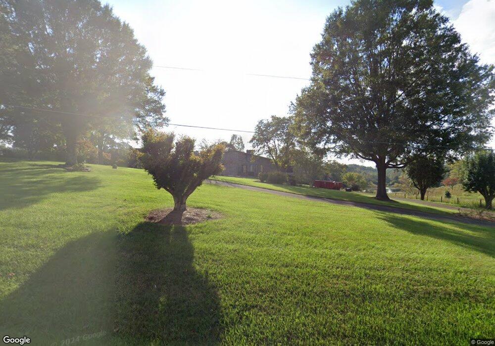
194 Ararat Longhill Rd Pilot Mountain, NC 27041
Estimated Value: $283,000 - $437,000
3
Beds
3
Baths
2,242
Sq Ft
$165/Sq Ft
Est. Value
About This Home
This home is located at 194 Ararat Longhill Rd, Pilot Mountain, NC 27041 and is currently estimated at $368,812, approximately $164 per square foot. 194 Ararat Longhill Rd is a home located in Surry County with nearby schools including Pilot Mountain Elementary School, Pilot Mountain Middle School, and East Surry High School.
Ownership History
Date
Name
Owned For
Owner Type
Purchase Details
Closed on
Jun 7, 2006
Sold by
Shoemaker Jonathan K and Shoemaker Hannah E
Bought by
Ring Jason Lee and Ring Misty Blevings
Current Estimated Value
Home Financials for this Owner
Home Financials are based on the most recent Mortgage that was taken out on this home.
Original Mortgage
$166,400
Outstanding Balance
$96,867
Interest Rate
6.49%
Mortgage Type
New Conventional
Estimated Equity
$271,945
Create a Home Valuation Report for This Property
The Home Valuation Report is an in-depth analysis detailing your home's value as well as a comparison with similar homes in the area
Home Values in the Area
Average Home Value in this Area
Purchase History
| Date | Buyer | Sale Price | Title Company |
|---|---|---|---|
| Ring Jason Lee | $208,000 | None Available |
Source: Public Records
Mortgage History
| Date | Status | Borrower | Loan Amount |
|---|---|---|---|
| Open | Ring Jason Lee | $166,400 |
Source: Public Records
Tax History Compared to Growth
Tax History
| Year | Tax Paid | Tax Assessment Tax Assessment Total Assessment is a certain percentage of the fair market value that is determined by local assessors to be the total taxable value of land and additions on the property. | Land | Improvement |
|---|---|---|---|---|
| 2025 | $2,136 | $360,530 | $21,000 | $339,530 |
| 2024 | $1,664 | $260,920 | $19,500 | $241,420 |
| 2023 | $1,439 | $260,750 | $19,500 | $241,250 |
| 2022 | $1,635 | $260,750 | $19,500 | $241,250 |
| 2021 | $1,664 | $260,750 | $19,500 | $241,250 |
| 2020 | $1,785 | $268,970 | $19,500 | $249,470 |
| 2019 | $1,782 | $268,970 | $19,500 | $249,470 |
| 2018 | $1,778 | $268,970 | $0 | $0 |
| 2017 | $1,779 | $268,970 | $0 | $0 |
| 2016 | $1,779 | $268,970 | $0 | $0 |
| 2013 | -- | $269,210 | $0 | $0 |
Source: Public Records
Map
Nearby Homes
- 115 Stout Ln
- 181 Fox Walk Ln
- 138 Arthur Needham Rd
- 0 Old Us Highway 52 S
- 278 Old Us Highway 52
- TBD Marbury Trail
- TBD Eddington Ln
- TBD Ingleside Way
- 366 Sheep Farm Rd
- 250 High Meadow Trail
- 208 Holly Ave
- 177 Janice Dr
- 906 Long Hill Rd
- 211 Service Rd
- 201 Circle View Rd
- 0 Chestnut Ridge Rd
- 235 Hunter Ridge Ln
- 00 Simmons Rd
- 236 Ararat Longhill Rd
- 162 Booth Ln
- 223 Ararat Longhill Rd
- 197 Ararat Longhill Rd
- 187 Ararat Longhill Rd
- 233 Ararat Longhill Rd
- 115 Storey Ln
- 132 Stuart Ln
- 137 Storey Ln
- 1086 Old Us Highway 52 S
- 197 Storey Ln
- 1019 Old Us Highway 52 S
- 316 Ararat Longhill Rd
- 1085 Old Us 52 S
- 1019 Old Us 52 S
- 1069 Old Us Highway 52 S
- 125 Atlas Ln
- 148 Stout Ln
- 1119 Old Us 52 S
- 26 Stoney Creek