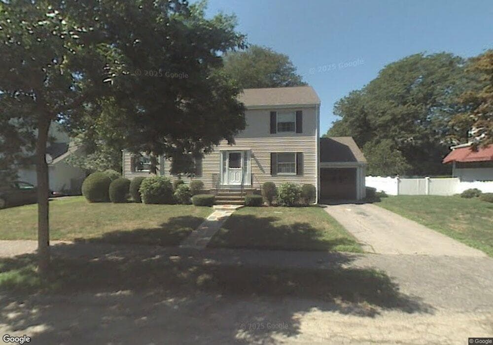
194 Dalton Rd Belmont, MA 02478
Cushing Square NeighborhoodEstimated Value: $1,359,000 - $1,523,166
3
Beds
3
Baths
1,662
Sq Ft
$876/Sq Ft
Est. Value
About This Home
This home is located at 194 Dalton Rd, Belmont, MA 02478 and is currently estimated at $1,455,292, approximately $875 per square foot. 194 Dalton Rd is a home located in Middlesex County with nearby schools including Mary Lee Burbank Elementary School, Winthrop L Chenery Middle School, and Belmont High School.
Ownership History
Date
Name
Owned For
Owner Type
Purchase Details
Closed on
May 9, 2018
Sold by
Goldstein H Mark
Bought by
Goldstein Howard Mark
Current Estimated Value
Purchase Details
Closed on
May 18, 2010
Sold by
Goldstein Norman
Bought by
Goldstein Norman
Create a Home Valuation Report for This Property
The Home Valuation Report is an in-depth analysis detailing your home's value as well as a comparison with similar homes in the area
Home Values in the Area
Average Home Value in this Area
Purchase History
| Date | Buyer | Sale Price | Title Company |
|---|---|---|---|
| Goldstein Howard Mark | -- | -- | |
| Goldstein Norman | -- | -- |
Source: Public Records
Tax History Compared to Growth
Tax History
| Year | Tax Paid | Tax Assessment Tax Assessment Total Assessment is a certain percentage of the fair market value that is determined by local assessors to be the total taxable value of land and additions on the property. | Land | Improvement |
|---|---|---|---|---|
| 2025 | $15,228 | $1,337,000 | $794,000 | $543,000 |
| 2024 | $15,016 | $1,422,000 | $990,000 | $432,000 |
| 2023 | $14,140 | $1,258,000 | $864,000 | $394,000 |
| 2022 | $13,641 | $1,180,000 | $812,000 | $368,000 |
| 2021 | $4,410 | $1,150,000 | $846,000 | $304,000 |
| 2020 | $12,463 | $1,133,000 | $829,000 | $304,000 |
| 2019 | $10,515 | $901,000 | $616,000 | $285,000 |
| 2018 | $5,407 | $858,000 | $560,000 | $298,000 |
| 2017 | $6,941 | $812,000 | $514,000 | $298,000 |
| 2016 | $10,161 | $809,000 | $514,000 | $295,000 |
| 2015 | $9,314 | $722,000 | $427,000 | $295,000 |
Source: Public Records
Map
Nearby Homes
- 105 Watson Rd
- 36 Madison St
- 73 Foster Rd Unit 2
- 118 Blanchard Rd
- 48 Concord Ave
- 4 Merrill Ave
- 276 Belmont St Unit 1
- 30 Unity Ave Unit 30
- 48 Hamilton Rd
- 46 Hamilton Rd
- 15 Sunset Rd
- 263 Common St
- 10 Marlboro St Unit 1
- 133 Hillside Rd
- 38 Myrtle St
- 161 Cushing St
- 163 Belmont St
- 73 Trowbridge St Unit 73A
- 73 Trowbridge St Unit 73B
- 125 Trapelo Rd Unit 21