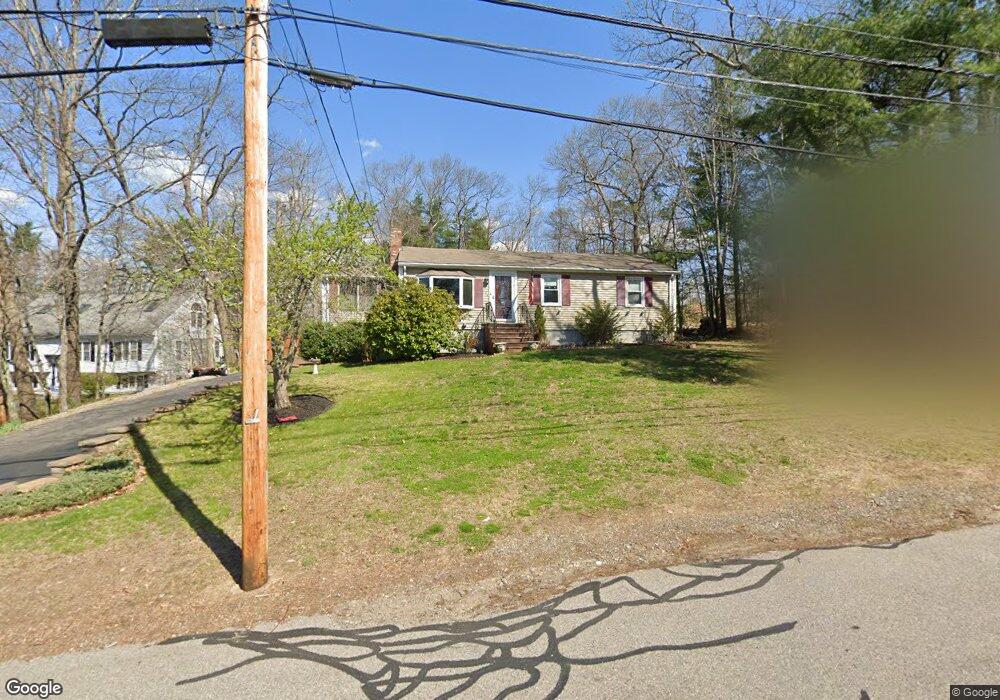
194 Forest St Rockland, MA 02370
Estimated Value: $470,000 - $543,000
4
Beds
1
Bath
1,040
Sq Ft
$481/Sq Ft
Est. Value
About This Home
This home is located at 194 Forest St, Rockland, MA 02370 and is currently estimated at $500,520, approximately $481 per square foot. 194 Forest St is a home located in Plymouth County with nearby schools including Rockland Senior High School, Calvary Chapel Academy, and Holy Family Elementary School.
Ownership History
Date
Name
Owned For
Owner Type
Purchase Details
Closed on
Apr 22, 2014
Sold by
Orourke Michael B and Orourke Babs E
Bought by
Orourke Michael B
Current Estimated Value
Purchase Details
Closed on
Jun 24, 1997
Sold by
Adams Robert L and Adams Marcia A
Bought by
Orourke Michael B and Orourke Babs E
Create a Home Valuation Report for This Property
The Home Valuation Report is an in-depth analysis detailing your home's value as well as a comparison with similar homes in the area
Home Values in the Area
Average Home Value in this Area
Purchase History
| Date | Buyer | Sale Price | Title Company |
|---|---|---|---|
| Orourke Michael B | -- | -- | |
| Orourke Michael B | $129,000 | -- |
Source: Public Records
Mortgage History
| Date | Status | Borrower | Loan Amount |
|---|---|---|---|
| Previous Owner | Orourke Michael B | $46,555 | |
| Previous Owner | Orourke Michael B | $43,055 |
Source: Public Records
Tax History Compared to Growth
Tax History
| Year | Tax Paid | Tax Assessment Tax Assessment Total Assessment is a certain percentage of the fair market value that is determined by local assessors to be the total taxable value of land and additions on the property. | Land | Improvement |
|---|---|---|---|---|
| 2025 | $6,417 | $469,400 | $226,600 | $242,800 |
| 2024 | $6,227 | $442,900 | $213,700 | $229,200 |
| 2023 | $6,388 | $419,700 | $206,400 | $213,300 |
| 2022 | $6,114 | $365,000 | $179,400 | $185,600 |
| 2021 | $18,110 | $326,300 | $163,100 | $163,200 |
| 2020 | $5,478 | $313,000 | $155,400 | $157,600 |
| 2019 | $0 | $298,300 | $148,000 | $150,300 |
| 2018 | $2 | $271,200 | $148,000 | $123,200 |
| 2017 | $4,834 | $261,600 | $148,000 | $113,600 |
| 2016 | $4,652 | $251,600 | $142,300 | $109,300 |
| 2015 | $4,423 | $232,400 | $133,000 | $99,400 |
| 2014 | $4,180 | $227,900 | $130,400 | $97,500 |
Source: Public Records
Map
Nearby Homes
- 65 Boxberry Ln
- 7 Boxberry Ln Unit 7
- 775 Union St
- 737-739 Union St
- 35-37 Salem St
- 18 Midfield Dr
- 83 Summit St
- 10 Horn Beam St Unit 299
- 94 Leisurewoods Dr
- 86 Leisurewoods Dr Unit 279
- 5 Juniper Cir
- 11 Hawthorne St
- 9 Juniper Cir
- 3 Hickory Cir
- 14 Dyer St Unit 14
- 12 Dyer St Unit 12
- 206-208 Hinghm St
- 13 Dyer St Unit 13
- 11 Dyer St Unit 11
- 507 Liberty St
- 200 Forest St
- 184 Forest St
- 350 W Pleasant St
- 71 Boxberry Ln
- 69 Boxberry Ln
- 63 Boxberry Ln
- 61 Boxberry Ln
- 59 Boxberry Ln
- 57 Boxberry Ln
- 55 Boxberry Ln
- 53 Boxberry Ln
- 59 Boxberry Ln Unit 59
- 69 Boxberry Ln Unit 69
- 55 Boxberry Ln Unit 55
- 346 W Pleasant St
- 216 Forest St
- 91 Boxberry Ln
- 89 Boxberry Ln
- 87 Boxberry Ln
- 85 Boxberry Ln