194 Jim Anderson Rd Algood, TN 38501
Estimated Value: $171,058 - $312,000
--
Bed
--
Bath
1,655
Sq Ft
$152/Sq Ft
Est. Value
About This Home
This home is located at 194 Jim Anderson Rd, Algood, TN 38501 and is currently estimated at $251,515, approximately $151 per square foot. 194 Jim Anderson Rd is a home located in Jackson County with nearby schools including Jackson County High School.
Ownership History
Date
Name
Owned For
Owner Type
Purchase Details
Closed on
Dec 9, 2021
Sold by
Morgan Tammy M and Goolsby Tammy M
Bought by
Morgan Joseph S
Current Estimated Value
Purchase Details
Closed on
Nov 19, 2010
Sold by
Underwood Jared B
Bought by
Morgan Joseph S
Purchase Details
Closed on
Oct 5, 2006
Sold by
Underwood Jared B
Bought by
Harris C J
Purchase Details
Closed on
Oct 24, 2005
Sold by
Smith Lois M
Bought by
Underwood Jared B
Purchase Details
Closed on
Oct 3, 1988
Bought by
Smith Hobart and Smith Lois
Purchase Details
Closed on
Oct 2, 1988
Bought by
Jones Ted
Purchase Details
Closed on
Feb 23, 1950
Bought by
Henson Ollie
Create a Home Valuation Report for This Property
The Home Valuation Report is an in-depth analysis detailing your home's value as well as a comparison with similar homes in the area
Home Values in the Area
Average Home Value in this Area
Purchase History
| Date | Buyer | Sale Price | Title Company |
|---|---|---|---|
| Morgan Joseph S | -- | None Available | |
| Morgan Joseph S | $112,000 | -- | |
| Harris C J | $7,000 | -- | |
| Underwood Jared B | $150,000 | -- | |
| Smith Hobart | $30,000 | -- | |
| Jones Ted | -- | -- | |
| Henson Ollie | -- | -- |
Source: Public Records
Tax History Compared to Growth
Tax History
| Year | Tax Paid | Tax Assessment Tax Assessment Total Assessment is a certain percentage of the fair market value that is determined by local assessors to be the total taxable value of land and additions on the property. | Land | Improvement |
|---|---|---|---|---|
| 2024 | $710 | $27,850 | $5,000 | $22,850 |
| 2023 | $710 | $27,850 | $5,000 | $22,850 |
| 2022 | $626 | $27,850 | $5,000 | $22,850 |
| 2021 | $626 | $27,850 | $5,000 | $22,850 |
| 2020 | $779 | $27,850 | $5,000 | $22,850 |
| 2019 | $779 | $27,925 | $5,000 | $22,925 |
| 2018 | $661 | $23,700 | $5,000 | $18,700 |
| 2017 | $661 | $23,700 | $5,000 | $18,700 |
| 2016 | $662 | $23,700 | $5,000 | $18,700 |
| 2015 | $675 | $23,700 | $5,000 | $18,700 |
| 2014 | $675 | $23,700 | $5,000 | $18,700 |
Source: Public Records
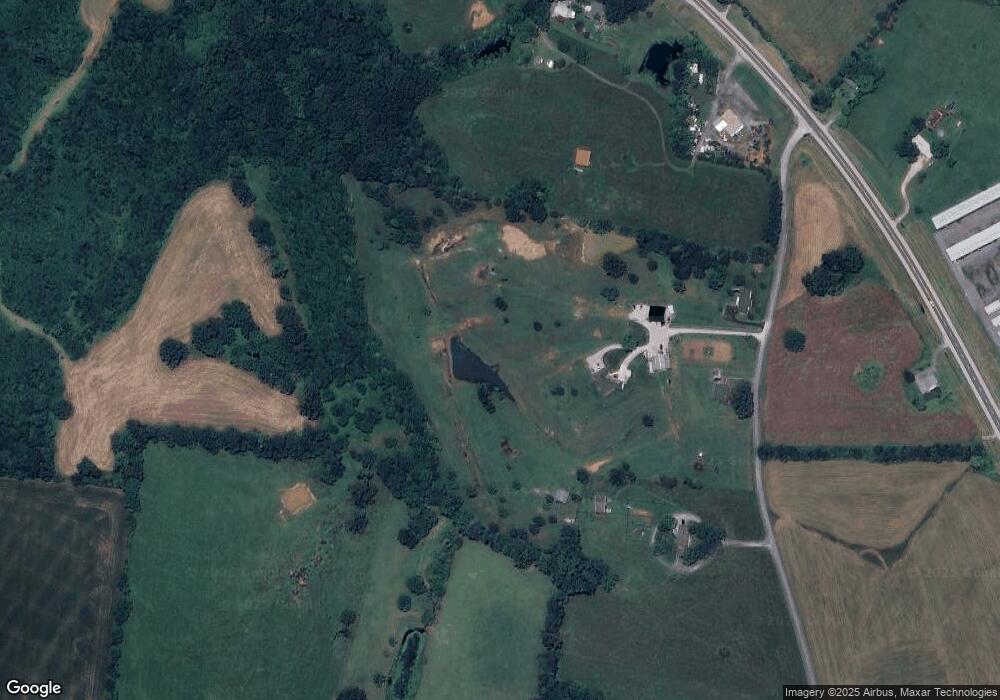
Map
Nearby Homes
- 4 Old Gainesboro Hwy
- 5 Old Gainesboro Hwy
- 127 Cummins Mill Rd
- 7 Charles Haney Rd
- 00 Bob Johnson Ln
- 244 Bob Johnson Ln
- 1000 Bethel Palk Rd
- 4746 Maple Shade Cir
- 121 Timber Trail Ln
- 4763 Cumby Rd
- 0 P Brewington Rd
- 123 Lee Ct
- 3709 Poundstone Dr
- 4028 Winter Haven Dr
- 2617 Spring Arbor Ct
- 2895 Autumn Woods Trail
- 2770 Autumn Woods Trail
- 2870 Autumn Woods Trail
- 3013 Tulip Ln
- 194 Jim Anderson Rd
- 194 Jim Anderson Rd
- 150 Jim Anderson Rd
- 0 Jim Anderson Rd Unit 1661342
- 242 Jim Anderson Rd
- Lot 2 Jim Anderson Rd
- Lot 3 Jim Anderson Rd
- Lot 1 Jim Anderson Rd
- 00 Jim Anderson Rd
- 800 Old Gainesboro Hwy
- 644 Old Gainesboro Hwy
- 976 Old Gainesboro Hwy
- 765 Old Gainesboro Hwy
- 839 Old Gainesboro Hwy
- 725 Old Gainesboro Hwy
- 668 Old Gainesboro Hwy
- 337 Jim Anderson Rd
- 194 Lester Fox Rd
- 679 Old Gainesboro Hwy
- 374 Jim Anderson Rd