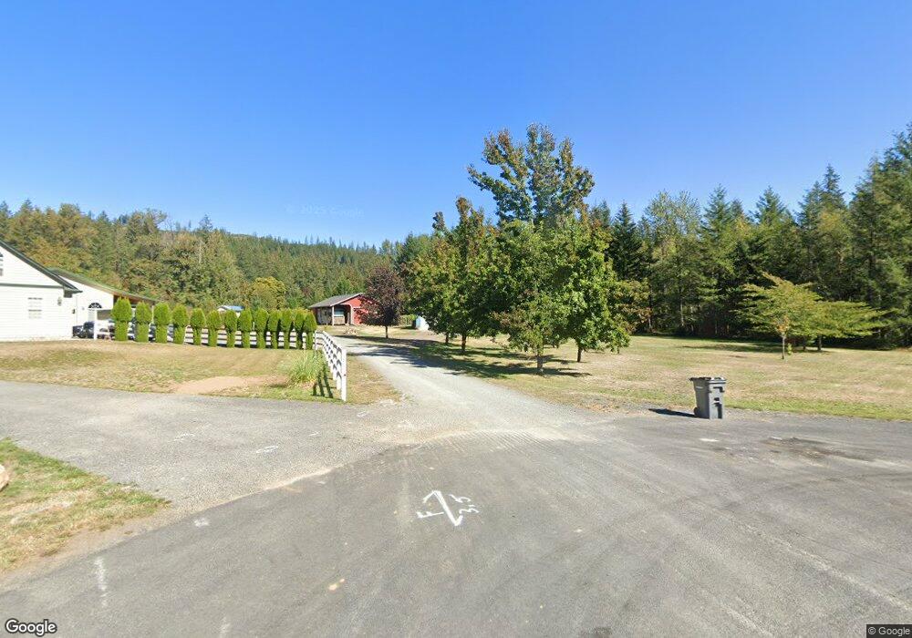
194 Mulkey Ln Ariel, WA 98603
Yale NeighborhoodEstimated Value: $615,000 - $782,000
2
Beds
3
Baths
2,359
Sq Ft
$299/Sq Ft
Est. Value
About This Home
This home is located at 194 Mulkey Ln, Ariel, WA 98603 and is currently estimated at $704,955, approximately $298 per square foot. 194 Mulkey Ln is a home located in Cowlitz County with nearby schools including Woodland High School.
Ownership History
Date
Name
Owned For
Owner Type
Purchase Details
Closed on
Aug 9, 2007
Sold by
Stuart Donald G and Stuart Lorene A
Bought by
Wheatley Lavon M and Lynch Julie L
Current Estimated Value
Purchase Details
Closed on
May 15, 2006
Sold by
Stuart Donald G and Stuart Lorene A
Bought by
Dore Robert E and Dore Linda B
Create a Home Valuation Report for This Property
The Home Valuation Report is an in-depth analysis detailing your home's value as well as a comparison with similar homes in the area
Home Values in the Area
Average Home Value in this Area
Purchase History
| Date | Buyer | Sale Price | Title Company |
|---|---|---|---|
| Wheatley Lavon M | -- | None Available | |
| Pleasant View Community Church | -- | None Available | |
| Dore Robert E | $50,000 | None Available |
Source: Public Records
Tax History Compared to Growth
Tax History
| Year | Tax Paid | Tax Assessment Tax Assessment Total Assessment is a certain percentage of the fair market value that is determined by local assessors to be the total taxable value of land and additions on the property. | Land | Improvement |
|---|---|---|---|---|
| 2024 | $7,461 | $643,710 | $106,270 | $537,440 |
| 2023 | $5,522 | $602,040 | $99,320 | $502,720 |
| 2022 | $5,479 | $557,800 | $91,960 | $465,840 |
| 2021 | $4,665 | $490,810 | $70,740 | $420,070 |
| 2020 | $4,685 | $401,530 | $67,360 | $334,170 |
| 2019 | $4,083 | $391,765 | $64,155 | $327,610 |
| 2018 | $4,988 | $364,720 | $64,160 | $300,560 |
| 2017 | $3,421 | $361,660 | $61,100 | $300,560 |
| 2016 | $3,280 | $271,300 | $50,920 | $220,380 |
| 2015 | $3,097 | $261,210 | $50,920 | $210,290 |
| 2013 | -- | $216,200 | $46,550 | $169,650 |
Source: Public Records
Map
Nearby Homes
- 116 Mulkey Ln
- 155 Irene Ln
- 14644 Lewis River Rd
- 114 Wild Daisy Dr
- 305 Fir Rd
- 260 Bald Eagle Rd
- 118 Bald Eagle Rd
- 11846 Lewis River Rd
- 192 Stuart Field Ln
- 0 Knightsbridge Rd Unit 787378359
- 0 Knights Bridge Rd Unit NWM2455713
- 308 Saddle Rd
- 251 Mystery Dr
- 145 Elk Ln
- 217 Ham Rd
- 168 Yale Landing Rd
- 16790 Lewis River Rd
- 45505 NE Yale Bridge Rd
- 000 NE Yale Bridge Rd
- 0 NE Yale Bridge Rd
- 171 Mulkey Ln
- 14818 Lewis River Rd
- 195 Mulkey Ln
- 157 Mulkey Ln
- 184 Marian Ln
- 14836 Lewis River Rd
- 14838 Lewis River Rd
- 136 Mulkey Ln
- 137 Mulkey Ln
- 138 Marian Ln
- 138 Marian Ln
- 14900 Lewis River Rd
- 14903 Lewis River Rd
- 14665 Lewis River Rd
- 115 Mulkey Ln
- 118 Marian Ln
- 14916 Lewis River Rd
- 14911 Lewis River Rd
- 111 Irene Ln
- 14948 Lewis River Rd