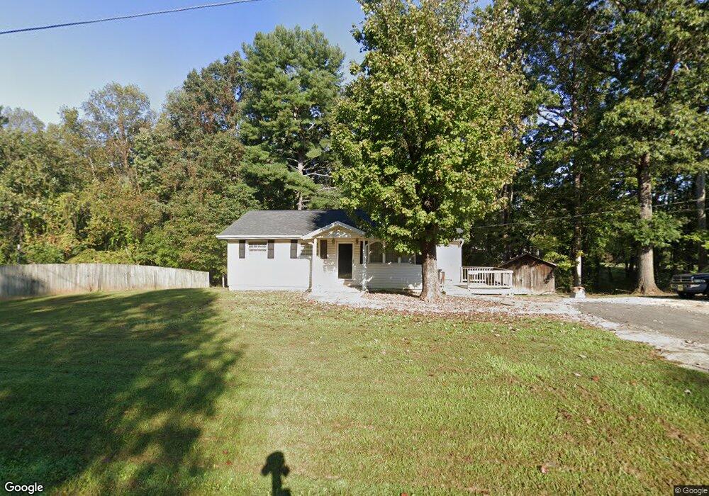
194 Old Lowgap Rd Mount Airy, NC 27030
Estimated Value: $95,000 - $202,000
2
Beds
1
Bath
920
Sq Ft
$161/Sq Ft
Est. Value
About This Home
This home is located at 194 Old Lowgap Rd, Mount Airy, NC 27030 and is currently estimated at $148,519, approximately $161 per square foot. 194 Old Lowgap Rd is a home located in Surry County with nearby schools including Pilot Mountain Elementary School, Pilot Mountain Middle School, and East Surry High School.
Ownership History
Date
Name
Owned For
Owner Type
Purchase Details
Closed on
Oct 24, 2014
Sold by
Nationstar Mortgage Llc
Bought by
Puckett Chuck and Puckett Susanne
Current Estimated Value
Purchase Details
Closed on
Jun 26, 2014
Sold by
Hull Eddie Dean
Bought by
Nationstar Mortgage Llc
Purchase Details
Closed on
Jun 1, 2005
Sold by
Nichols Land Company Llc
Bought by
Hull Eddie Dean
Purchase Details
Closed on
Feb 1, 2004
Purchase Details
Closed on
Jul 1, 1989
Purchase Details
Closed on
Jul 1, 1988
Create a Home Valuation Report for This Property
The Home Valuation Report is an in-depth analysis detailing your home's value as well as a comparison with similar homes in the area
Home Values in the Area
Average Home Value in this Area
Purchase History
| Date | Buyer | Sale Price | Title Company |
|---|---|---|---|
| Puckett Chuck | $23,000 | None Available | |
| Nationstar Mortgage Llc | $42,000 | None Available | |
| Hull Eddie Dean | $35,000 | None Available | |
| -- | $165,000 | -- | |
| -- | -- | -- | |
| -- | $28,000 | -- |
Source: Public Records
Tax History Compared to Growth
Tax History
| Year | Tax Paid | Tax Assessment Tax Assessment Total Assessment is a certain percentage of the fair market value that is determined by local assessors to be the total taxable value of land and additions on the property. | Land | Improvement |
|---|---|---|---|---|
| 2025 | $452 | $67,560 | $12,000 | $55,560 |
| 2024 | $392 | $53,990 | $12,000 | $41,990 |
| 2023 | $378 | $53,990 | $12,000 | $41,990 |
| 2022 | $378 | $53,990 | $12,000 | $41,990 |
| 2021 | $384 | $53,990 | $12,000 | $41,990 |
| 2020 | $388 | $52,660 | $12,000 | $40,660 |
| 2019 | $385 | $52,660 | $0 | $0 |
| 2018 | $379 | $52,660 | $0 | $0 |
| 2017 | $382 | $52,660 | $0 | $0 |
| 2016 | $382 | $52,660 | $0 | $0 |
| 2013 | -- | $53,490 | $0 | $0 |
Source: Public Records
Map
Nearby Homes
- 208 Holly Ave
- 177 Janice Dr
- 201 Circle View Rd
- 278 Old Us Highway 52
- 366 Sheep Farm Rd
- 200 Englewood Trail
- 2326 Westfield Rd
- 2384 Westfield Rd
- 115 Stout Ln
- 00 S Andy Griffith Pkwy
- TBD S Andy Griffith Pkwy
- Lot 5 Howell Rd
- Tbd Farmbrook Rd
- 0 Chestnut Ridge Rd
- 01 Farmbrook Rd
- 000000 Farmbrook Rd
- 00000 Farmbrook Rd
- 02 Farmbrook Rd
- 00 Farmbrook Rd
- 446 Gilley Rd
- 210 Old Lowgap Rd
- 525 Holly Springs Rd
- 144 Holly Ave
- 147 Holly Ave
- 160 Holly Ave
- 155 Holly Ave
- 140 Janice Dr
- 163 Holly Ave
- 148 Janice Dr
- 173 Holly Ave
- 158 Janice Dr
- 105 Gilda Dr
- 660 Holly Springs Rd
- 183 Holly Ave
- 166 Janice Dr
- 194 Holly Ave
- 157 Janice Dr
- 176 Janice Dr
- 670 Holly Springs Rd
- 167 Janice Dr