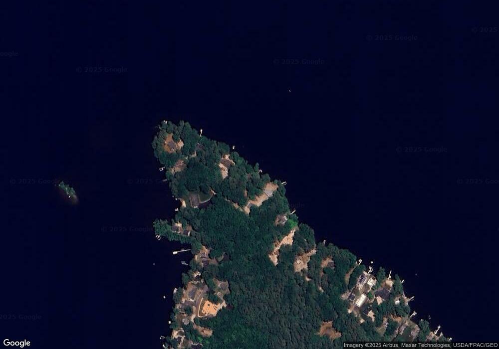
194 Point Rd East Wakefield, NH 03830
Estimated Value: $445,000 - $792,000
2
Beds
1
Bath
609
Sq Ft
$984/Sq Ft
Est. Value
About This Home
This home is located at 194 Point Rd, East Wakefield, NH 03830 and is currently estimated at $599,548, approximately $984 per square foot. 194 Point Rd is a home located in Carroll County with nearby schools including Paul Elementary School.
Ownership History
Date
Name
Owned For
Owner Type
Purchase Details
Closed on
Dec 5, 2014
Sold by
Wilkins Randall S and Mattison Elizabeth L
Bought by
Wilkins Mattison Ft and Wilkins Randall S
Current Estimated Value
Purchase Details
Closed on
Jul 14, 2014
Sold by
Hauf Conrad and Hauf Lori
Bought by
Wilkins Randall and Mattison Elizabeth
Purchase Details
Closed on
May 14, 2010
Sold by
Wood Ft
Bought by
Hanf Conrad and Hanf Lori
Home Financials for this Owner
Home Financials are based on the most recent Mortgage that was taken out on this home.
Original Mortgage
$200,000
Interest Rate
5.11%
Mortgage Type
Purchase Money Mortgage
Create a Home Valuation Report for This Property
The Home Valuation Report is an in-depth analysis detailing your home's value as well as a comparison with similar homes in the area
Home Values in the Area
Average Home Value in this Area
Purchase History
| Date | Buyer | Sale Price | Title Company |
|---|---|---|---|
| Wilkins Mattison Ft | -- | -- | |
| Wilkins Randall | $306,900 | -- | |
| Hanf Conrad | $250,000 | -- |
Source: Public Records
Mortgage History
| Date | Status | Borrower | Loan Amount |
|---|---|---|---|
| Previous Owner | Hanf Conrad | $200,000 |
Source: Public Records
Tax History Compared to Growth
Tax History
| Year | Tax Paid | Tax Assessment Tax Assessment Total Assessment is a certain percentage of the fair market value that is determined by local assessors to be the total taxable value of land and additions on the property. | Land | Improvement |
|---|---|---|---|---|
| 2024 | $4,228 | $562,200 | $435,000 | $127,200 |
| 2023 | $3,851 | $562,200 | $435,000 | $127,200 |
| 2022 | $3,959 | $323,200 | $257,900 | $65,300 |
| 2021 | $3,988 | $323,200 | $257,900 | $65,300 |
| 2020 | $4,001 | $323,200 | $257,900 | $65,300 |
| 2019 | $4,033 | $323,400 | $257,900 | $65,500 |
| 2018 | $3,641 | $323,400 | $257,900 | $65,500 |
| 2017 | $3,061 | $242,000 | $198,800 | $43,200 |
| 2016 | $3,131 | $242,000 | $198,800 | $43,200 |
| 2015 | $3,161 | $242,000 | $198,800 | $43,200 |
| 2014 | $3,083 | $242,000 | $198,800 | $43,200 |
| 2013 | $2,944 | $239,700 | $198,800 | $40,900 |
Source: Public Records
Map
Nearby Homes
- 288 Bonnyman Rd
- Lot 6 Pick Pocket Rd
- 225 Simon Hill Rd
- Lot#33 Shore Acres Rd
- Lot 4 Emery Rd
- 106 Stevens Rd Unit 1
- 0 Province Lake Rd Unit 22854991
- 88 Stevens Rd
- Lot 2 Leighton Corner Rd
- 175 Molly Philbrick Rd
- 1533 Province Lake Rd
- 199 Stagecoach Rd
- 190 Circuit Rd
- 209 Lost Mile Rd
- 419 Belleau Blvd
- 201 Beverly Hills Dr
- 339 Stevens Corner Rd
- 45 Effingham Rd
- Lot 20.3(TM4) John Hodgdon Rd
- 8 Eliot Dr