194 Queens Brook Rd Pembroke, MA 02359
Estimated Value: $682,000 - $793,000
--
Bed
2
Baths
2,302
Sq Ft
$319/Sq Ft
Est. Value
About This Home
This home is located at 194 Queens Brook Rd, Pembroke, MA 02359 and is currently estimated at $733,648, approximately $318 per square foot. 194 Queens Brook Rd is a home located in Plymouth County with nearby schools including Pembroke High School.
Ownership History
Date
Name
Owned For
Owner Type
Purchase Details
Closed on
Oct 7, 1999
Sold by
Kenerson Michelle R and Kenerson Mark W
Bought by
Kenerson Arthur E
Current Estimated Value
Purchase Details
Closed on
Apr 8, 1987
Sold by
Kasid Joseph J
Bought by
Kenerson Mark W
Create a Home Valuation Report for This Property
The Home Valuation Report is an in-depth analysis detailing your home's value as well as a comparison with similar homes in the area
Home Values in the Area
Average Home Value in this Area
Purchase History
| Date | Buyer | Sale Price | Title Company |
|---|---|---|---|
| Kenerson Arthur E | $192,000 | -- | |
| Kenerson Mark W | $179,500 | -- |
Source: Public Records
Mortgage History
| Date | Status | Borrower | Loan Amount |
|---|---|---|---|
| Open | Kenerson Mark W | $100,000 | |
| Open | Kenerson Mark W | $195,000 | |
| Closed | Kenerson Mark W | $153,908 |
Source: Public Records
Tax History Compared to Growth
Tax History
| Year | Tax Paid | Tax Assessment Tax Assessment Total Assessment is a certain percentage of the fair market value that is determined by local assessors to be the total taxable value of land and additions on the property. | Land | Improvement |
|---|---|---|---|---|
| 2025 | $7,445 | $619,400 | $288,300 | $331,100 |
| 2024 | $7,238 | $601,700 | $272,300 | $329,400 |
| 2023 | $7,207 | $566,600 | $258,900 | $307,700 |
| 2022 | $6,682 | $472,200 | $213,500 | $258,700 |
| 2021 | $6,606 | $453,100 | $199,700 | $253,400 |
| 2020 | $6,328 | $436,700 | $195,300 | $241,400 |
| 2019 | $5,877 | $402,500 | $190,600 | $211,900 |
| 2018 | $5,813 | $390,400 | $186,800 | $203,600 |
| 2017 | $5,717 | $378,600 | $173,600 | $205,000 |
| 2016 | $5,597 | $366,800 | $160,100 | $206,700 |
| 2015 | $5,187 | $351,900 | $151,200 | $200,700 |
Source: Public Records
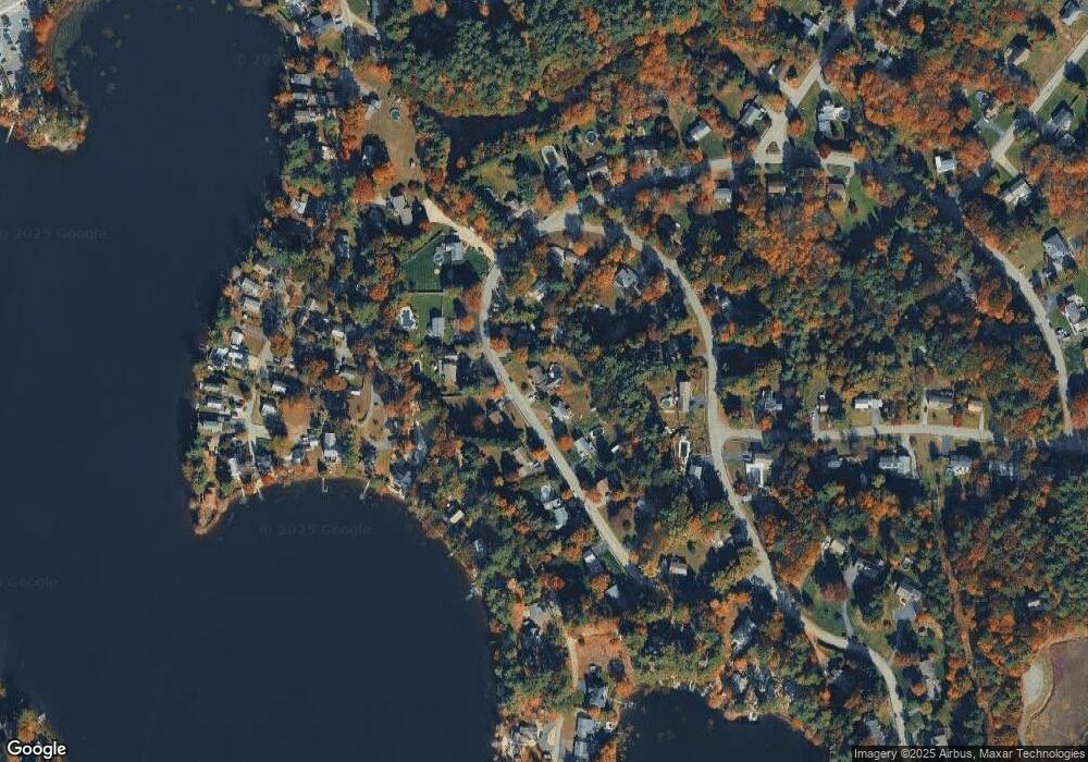
Map
Nearby Homes
- 8 Pinehurst Ave
- 22 Pondview Ave
- 10 Fir Rd
- 299 Center St
- 53 Grove St
- 29 Liberty Dr Unit 29
- 10 Warren Terrace
- 5 Hatch Rd
- 204 Center St Unit 9
- 18 Wampatuck St
- 34 Montclair Ave
- 62 Toole Trail
- 269 Lakeside Rd
- 456 Maquan St
- 6 Evan Rd
- 290 School St
- 89 West St
- 72 Old Cart Path Ln Unit Lot 2
- 78 Old Cart Path Ln Unit Lot 3
- 134 Crescent St
- 198 Queens Brook Rd
- 178 Queens Brook Rd
- 206 Queens Brook Rd
- 170 Queens Brook Rd
- 195 Queens Brook Rd
- 9 Cranberry Ln
- 5 Cranberry Ln
- 13 Cranberry Ln
- 199 Queens Brook Rd
- 17 Cranberry Ln
- 3 Cranberry Ln
- 212 Queens Brook Rd
- 189 Queens Brook Rd
- 183 Queens Brook Rd
- 205 Queens Brook Rd
- 25 Cranberry Ln
- 181 Queens Brook Rd
- 89 Furnace Ln
- 12 Cranberry Ln
- 175 Queens Brook Rd