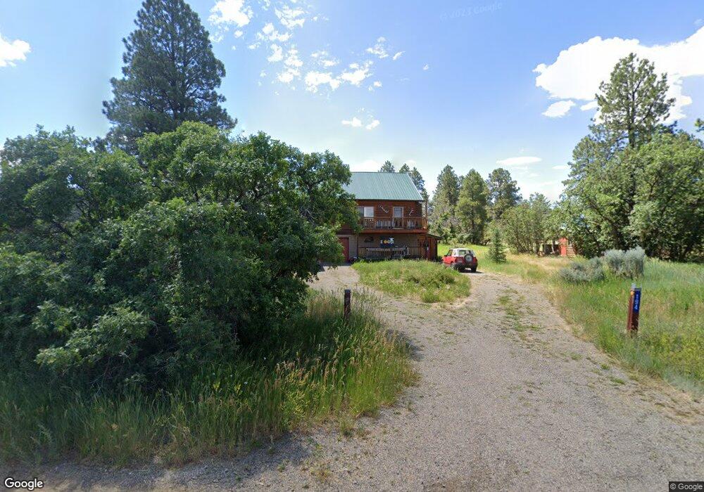
194 S Fork Rd Durango, CO 81303
Estimated Value: $580,720 - $822,000
3
Beds
2
Baths
1,565
Sq Ft
$456/Sq Ft
Est. Value
About This Home
This home is located at 194 S Fork Rd, Durango, CO 81303 and is currently estimated at $713,180, approximately $455 per square foot. 194 S Fork Rd is a home located in La Plata County with nearby schools including Fort Lewis Mesa Elementary School, Escalante Middle School, and Durango High School.
Ownership History
Date
Name
Owned For
Owner Type
Purchase Details
Closed on
Aug 19, 2005
Sold by
Estman Gordon
Bought by
Waslien Randy and Nielsen Kristen
Current Estimated Value
Home Financials for this Owner
Home Financials are based on the most recent Mortgage that was taken out on this home.
Original Mortgage
$1,258
Interest Rate
5.81%
Mortgage Type
Purchase Money Mortgage
Purchase Details
Closed on
Jun 21, 2004
Bought by
Waslien Randy and Waslien Kristen
Create a Home Valuation Report for This Property
The Home Valuation Report is an in-depth analysis detailing your home's value as well as a comparison with similar homes in the area
Purchase History
| Date | Buyer | Sale Price | Title Company |
|---|---|---|---|
| Waslien Randy | $305,000 | Colorado Land Titel Co | |
| Waslien Randy | $125,000 | -- |
Source: Public Records
Mortgage History
| Date | Status | Borrower | Loan Amount |
|---|---|---|---|
| Closed | Waslien Randy | $1,258 |
Source: Public Records
Tax History
| Year | Tax Paid | Tax Assessment Tax Assessment Total Assessment is a certain percentage of the fair market value that is determined by local assessors to be the total taxable value of land and additions on the property. | Land | Improvement |
|---|---|---|---|---|
| 2025 | $1,019 | $35,370 | $11,850 | $23,520 |
| 2024 | $873 | $27,490 | $9,080 | $18,410 |
| 2023 | $873 | $31,180 | $10,300 | $20,880 |
| 2022 | $751 | $32,350 | $10,690 | $21,660 |
| 2021 | $755 | $25,350 | $8,430 | $16,920 |
| 2020 | $662 | $23,600 | $8,430 | $15,170 |
| 2019 | $634 | $23,600 | $8,430 | $15,170 |
| 2018 | $556 | $21,630 | $8,490 | $13,140 |
| 2017 | $544 | $21,630 | $8,490 | $13,140 |
| 2016 | $509 | $22,590 | $9,870 | $12,720 |
| 2015 | $740 | $22,590 | $9,870 | $12,720 |
| 2014 | -- | $19,830 | $9,870 | $9,960 |
| 2013 | -- | $19,830 | $9,870 | $9,960 |
Source: Public Records
Map
Nearby Homes
- 269 North Rd
- 307 Deer Trail Rd
- 285 Logging Trail Rd
- 275 Logging Trail Rd
- 1172 Ridge Rd
- 841 Oak Dr
- 23 Hunter Ct
- 49 Hunter Ct
- 481 Far View Rd
- TBD Vaquero Way
- 222 Pine Ridge Loop Unit A4
- 678 N Lakeside Dr
- 719 Terlun Dr
- 607 Oak Dr
- 351 Cherry Gulch Rd
- 40 Hidden Ln
- 136 Oak Dr
- 199 Timber Dr
- 717 Zane Dr
- 59 Holly Hock Trail
- 51 Lower Rd
- 172 S Fork Rd
- 22 Mountain View Cir
- 40 Deer Lick Cir
- S Fork
- 102 S Fork Rd
- 80 Deer Lick Cir
- 66 Mountain View Cir
- 721 W Meadow Rd
- 0 Browns Lake Rd
- 0 S Fork Rd
- 255 Southfork Way
- 63 Mountain View Cir
- 52 Browns Lake Rd
- Lot L1 Summit Cir
- 447 Summit Cir
- 40 S Elk Run
- 300 S Elk Run
- 21 S Fork Rd
- 56 N Elk Run
Your Personal Tour Guide
Ask me questions while you tour the home.