194 Timber Ln West Fork, AR 72774
Estimated Value: $312,000 - $367,000
2
Beds
2
Baths
2,008
Sq Ft
$166/Sq Ft
Est. Value
About This Home
This home is located at 194 Timber Ln, West Fork, AR 72774 and is currently estimated at $334,088, approximately $166 per square foot. 194 Timber Ln is a home located in Washington County with nearby schools including West Fork Elementary School, West Fork Middle School, and West Fork High School.
Ownership History
Date
Name
Owned For
Owner Type
Purchase Details
Closed on
Apr 30, 2004
Sold by
Kirkup Alan Richard and Kirkup Kim Lorraine
Bought by
Mcanally James P
Current Estimated Value
Home Financials for this Owner
Home Financials are based on the most recent Mortgage that was taken out on this home.
Original Mortgage
$146,800
Outstanding Balance
$67,730
Interest Rate
5.38%
Mortgage Type
Purchase Money Mortgage
Estimated Equity
$266,358
Purchase Details
Closed on
May 29, 2003
Sold by
Goodson Jerry W and Goodson Judy G
Bought by
Kirkup Alan Richard and Kirkup Kim Lorraine
Home Financials for this Owner
Home Financials are based on the most recent Mortgage that was taken out on this home.
Original Mortgage
$150,378
Interest Rate
5.74%
Mortgage Type
Purchase Money Mortgage
Create a Home Valuation Report for This Property
The Home Valuation Report is an in-depth analysis detailing your home's value as well as a comparison with similar homes in the area
Home Values in the Area
Average Home Value in this Area
Purchase History
| Date | Buyer | Sale Price | Title Company |
|---|---|---|---|
| Mcanally James P | $184,000 | Waco | |
| Kirkup Alan Richard | $166,000 | Waco Title Company |
Source: Public Records
Mortgage History
| Date | Status | Borrower | Loan Amount |
|---|---|---|---|
| Open | Mcanally James P | $146,800 | |
| Previous Owner | Kirkup Alan Richard | $150,378 | |
| Closed | Mcanally James P | $27,525 |
Source: Public Records
Tax History
| Year | Tax Paid | Tax Assessment Tax Assessment Total Assessment is a certain percentage of the fair market value that is determined by local assessors to be the total taxable value of land and additions on the property. | Land | Improvement |
|---|---|---|---|---|
| 2025 | $935 | $57,100 | $14,500 | $42,600 |
| 2024 | $1,032 | $57,100 | $14,500 | $42,600 |
| 2023 | $1,115 | $57,100 | $14,500 | $42,600 |
| 2022 | $1,165 | $39,790 | $7,250 | $32,540 |
| 2021 | $1,165 | $39,790 | $7,250 | $32,540 |
| 2020 | $1,165 | $39,790 | $7,250 | $32,540 |
| 2019 | $1,165 | $30,500 | $6,250 | $24,250 |
| 2018 | $1,190 | $30,500 | $6,250 | $24,250 |
| 2017 | $1,147 | $30,500 | $6,250 | $24,250 |
| 2016 | $1,147 | $30,500 | $6,250 | $24,250 |
| 2015 | $1,147 | $30,500 | $6,250 | $24,250 |
| 2014 | $1,147 | $29,010 | $7,000 | $22,010 |
Source: Public Records
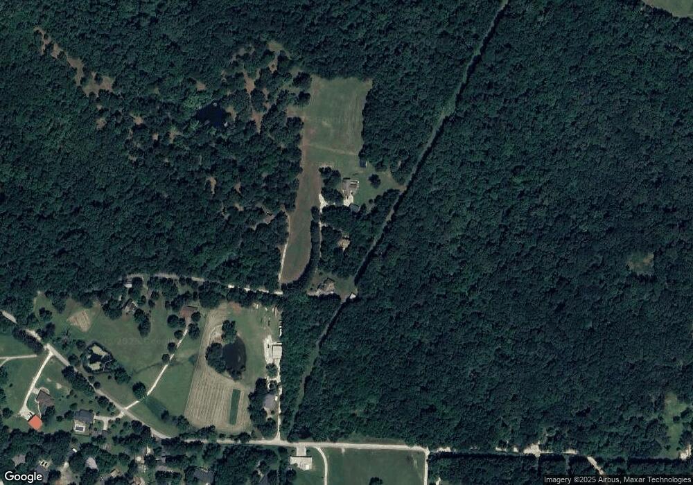
Map
Nearby Homes
- TBD Mineral Springs Rd
- 67 S Red Oak Ave
- TBD Butterfield Ave
- 12145 Flowers Rd
- 163 Wheeler St
- 0000 Highway 170
- 185 Wheeler St
- 224 Maple Ave
- 222 Rivendale Dr
- 0 W Smith St Unit 1334508
- 846 James Place
- 365 W Smith St
- 353 W Smith St
- 327 W Smith St
- 385 W Smith St
- 338 Hidden Creek Place
- 260 Culp Trail
- 1226 N Centennial Ave
- 815 James Place
- 696 E Thornstone Ave
- 182 Timber Ln
- 230 Timber Ln
- 258 Timber Ln
- 212 McGee St
- 260 McGee St
- 0 W McGee Rd Unit 578218
- 0 McGee Tract 1 Unit 601797
- 0 McGee Tract B 8a Unit 601802
- 0 McGee 32 82a Unit 621136
- 0 McGee 21a Unit 621133
- Tr C & D McGee Rd
- Tract D McGee Rd
- 0 McGee 12 78a Rd Unit 679537
- 0 McGee 8 2a Unit 680783
- 277 McGee St
- 279 McGee St
- 165 Timber Ln
- 370 McGee St
- 277 279 McGee St
- 277-279 McGee St
Your Personal Tour Guide
Ask me questions while you tour the home.