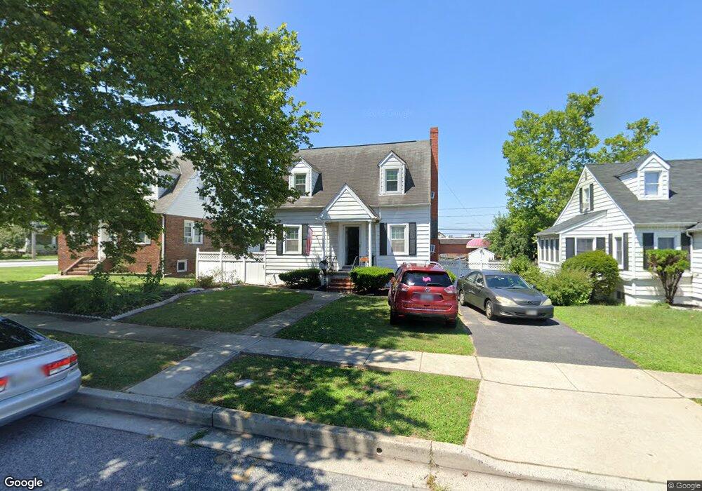
1940 Cedar Ln Dundalk, MD 21222
Estimated Value: $210,000 - $246,000
2
Beds
2
Baths
924
Sq Ft
$242/Sq Ft
Est. Value
About This Home
This home is located at 1940 Cedar Ln, Dundalk, MD 21222 and is currently estimated at $223,895, approximately $242 per square foot. 1940 Cedar Ln is a home located in Baltimore County with nearby schools including Norwood Elementary School, Holabird Middle School, and Dundalk High School.
Ownership History
Date
Name
Owned For
Owner Type
Purchase Details
Closed on
Sep 3, 2022
Sold by
Romeo Christina Sue and Romeo Angela Marie
Bought by
Romeo Christina Sue and Romeo-Martinez Angela Marie
Current Estimated Value
Home Financials for this Owner
Home Financials are based on the most recent Mortgage that was taken out on this home.
Original Mortgage
$187,600
Interest Rate
6.96%
Mortgage Type
New Conventional
Purchase Details
Closed on
Sep 22, 2009
Sold by
Ford John Henry
Bought by
Romeo Christina Sue
Purchase Details
Closed on
Jan 28, 1993
Sold by
Hamel George W
Bought by
Ford John Henry
Purchase Details
Closed on
Dec 31, 1985
Sold by
Kopicky John A
Bought by
Hamel George W
Create a Home Valuation Report for This Property
The Home Valuation Report is an in-depth analysis detailing your home's value as well as a comparison with similar homes in the area
Home Values in the Area
Average Home Value in this Area
Purchase History
| Date | Buyer | Sale Price | Title Company |
|---|---|---|---|
| Romeo Christina Sue | -- | Indecomm Global Services | |
| Romeo Christina Sue | -- | Indecomm Global Services | |
| Romeo Christina Sue | $168,000 | -- | |
| Ford John Henry | $79,900 | -- | |
| Hamel George W | $52,000 | -- |
Source: Public Records
Mortgage History
| Date | Status | Borrower | Loan Amount |
|---|---|---|---|
| Previous Owner | Romeo Christina Sue | $187,600 |
Source: Public Records
Tax History
| Year | Tax Paid | Tax Assessment Tax Assessment Total Assessment is a certain percentage of the fair market value that is determined by local assessors to be the total taxable value of land and additions on the property. | Land | Improvement |
|---|---|---|---|---|
| 2025 | $2,594 | $160,933 | -- | -- |
| 2024 | $2,594 | $151,167 | $0 | $0 |
| 2023 | $1,277 | $141,400 | $60,500 | $80,900 |
| 2022 | $2,336 | $135,567 | $0 | $0 |
| 2021 | $2,230 | $129,733 | $0 | $0 |
| 2020 | $2,230 | $123,900 | $60,500 | $63,400 |
| 2019 | $1,892 | $122,033 | $0 | $0 |
| 2018 | $1,935 | $120,167 | $0 | $0 |
| 2017 | $2,163 | $118,300 | $0 | $0 |
| 2016 | $2,392 | $115,100 | $0 | $0 |
| 2015 | $2,392 | $111,900 | $0 | $0 |
| 2014 | $2,392 | $108,700 | $0 | $0 |
Source: Public Records
Map
Nearby Homes
- 1802 Portship Rd
- 6904 Homeway
- 1914 Snyder Ave
- 138 Highshire Ct
- 1708 Rita Rd
- 1849 Portship Rd
- 1823 Walnut Ave
- 1900 Monumental Rd
- 1502 Vesper Ave
- 1703 Bethlehem Ave
- 7324 School Ln
- 1214 S 48th St
- 7113 Foundry St
- 1220 Hillshire Rd
- 6817 Duluth Ave
- 1627 Malvern St
- 0 Hillshire Rd
- 7150 Smoke Stack Rd
- 37 Liberty Pkwy
- 7151 Sollers Point Rd
- 1938 Cedar Ln
- 1942 Cedar Ln
- 1936 Cedar Ln
- 2000 Cedar Ln
- 7100 Maple Dr
- 1934 Cedar Ln
- 7020 Holabird Ave Unit B
- 7020 Holabird Ave Unit A
- 7020 Holabird Ave
- 1935 Cedar Ln
- 1739 Portship Rd
- 1741 Portship Rd
- 1932 Cedar Ln
- 1743 Portship Rd
- 1931 Cedar Ln
- 7102 Maple Dr
- 7018 Holabird Ave
- 7109 Holabird Ave
- 1747 Portship Rd
- 7101 Holabird Ave
Your Personal Tour Guide
Ask me questions while you tour the home.