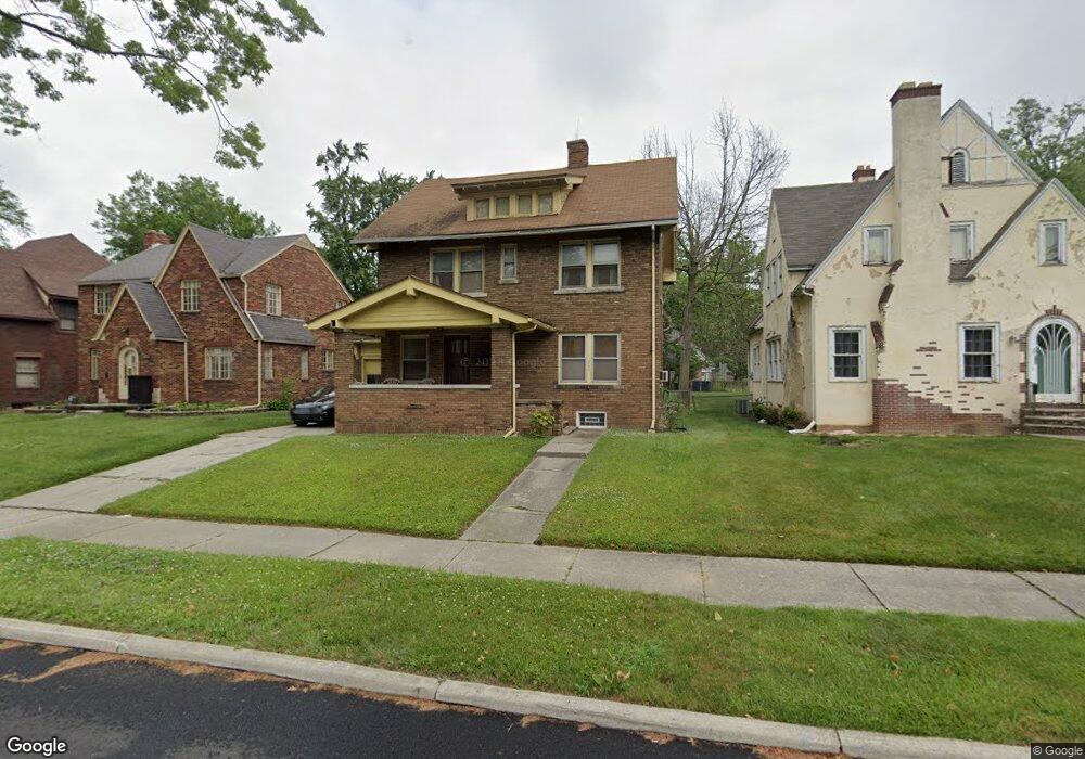
1940 Clarendon Dr Toledo, OH 43607
Ottawa NeighborhoodEstimated Value: $74,000 - $136,000
4
Beds
2
Baths
1,840
Sq Ft
$56/Sq Ft
Est. Value
About This Home
This home is located at 1940 Clarendon Dr, Toledo, OH 43607 and is currently estimated at $103,772, approximately $56 per square foot. 1940 Clarendon Dr is a home located in Lucas County with nearby schools including Jesup W. Scott High School, Explorers Academy, and GESU Catholic School.
Ownership History
Date
Name
Owned For
Owner Type
Purchase Details
Closed on
Nov 18, 2024
Sold by
Fair Heidi
Bought by
Fair Emery
Current Estimated Value
Purchase Details
Closed on
Jul 29, 2021
Sold by
Fair Eddie and Estate Of Minnie Fair
Bought by
Fair Emery and Fair Heidi
Purchase Details
Closed on
May 11, 2021
Sold by
Fair Minnie and Fair Eddie
Bought by
Fair Emery and Fair Heidi
Home Financials for this Owner
Home Financials are based on the most recent Mortgage that was taken out on this home.
Original Mortgage
$26,500
Interest Rate
3.1%
Mortgage Type
Purchase Money Mortgage
Create a Home Valuation Report for This Property
The Home Valuation Report is an in-depth analysis detailing your home's value as well as a comparison with similar homes in the area
Home Values in the Area
Average Home Value in this Area
Purchase History
| Date | Buyer | Sale Price | Title Company |
|---|---|---|---|
| Fair Emery | -- | None Listed On Document | |
| Fair Emery | -- | None Available | |
| Fair Emery | $26,500 | None Listed On Document |
Source: Public Records
Mortgage History
| Date | Status | Borrower | Loan Amount |
|---|---|---|---|
| Previous Owner | Fair Emery | $26,500 |
Source: Public Records
Tax History Compared to Growth
Tax History
| Year | Tax Paid | Tax Assessment Tax Assessment Total Assessment is a certain percentage of the fair market value that is determined by local assessors to be the total taxable value of land and additions on the property. | Land | Improvement |
|---|---|---|---|---|
| 2024 | $1,295 | $18,095 | $3,920 | $14,175 |
| 2023 | $795 | $10,185 | $7,455 | $2,730 |
| 2022 | $785 | $10,185 | $7,455 | $2,730 |
| 2021 | $811 | $10,185 | $7,455 | $2,730 |
| 2020 | $824 | $8,960 | $6,545 | $2,415 |
| 2019 | $806 | $8,960 | $6,545 | $2,415 |
| 2018 | $1,106 | $8,960 | $6,545 | $2,415 |
| 2017 | $1,452 | $8,750 | $6,405 | $2,345 |
| 2016 | $2,066 | $25,000 | $18,300 | $6,700 |
| 2015 | $1,412 | $50,000 | $18,300 | $31,700 |
| 2014 | $2,435 | $29,020 | $6,410 | $22,610 |
| 2013 | $1,825 | $29,020 | $6,410 | $22,610 |
Source: Public Records
Map
Nearby Homes
- 1819 Shenandoah Rd
- 1723 Potomac Dr
- 1914 Upton Ave
- 1429 Potomac Dr
- 1427 Potomac Dr
- 2033 Crosswell Place
- 1310 Waverly Ave
- 1318 Addington Rd
- 2053 Calumet Ave
- 1215 Woodstock Ave
- 1211 Manila St
- 2145 Dorr St
- 2141 Joffre Ave
- 2026 Clinton St
- 1116 Woodstock Ave
- 1026 Marmion Ave
- 1114 Parkside Blvd
- 2032 Elliott Ave
- 1004 Waverly Ave
- 1627 Fernwood Ave
- 1948 Clarendon Dr
- 1938 Clarendon Dr
- 1954 Clarendon Dr
- 1934 Clarendon Dr
- 1943 Foster Ave
- 1937 Foster Ave
- 1949 Foster Ave
- 1943 Clarendon Dr
- 1810 Potomac Dr
- 1947 Clarendon Dr
- 1937 Clarendon Dr
- 1933 Clarendon Dr
- 1951 Clarendon Dr
- 1820 Potomac Dr
- 1955 Clarendon Dr
- 1925 Clarendon Dr
- 1734 Potomac Dr
- 1946 Oakwood Ave
- 1954 Oakwood Ave
- 1940 Oakwood Ave