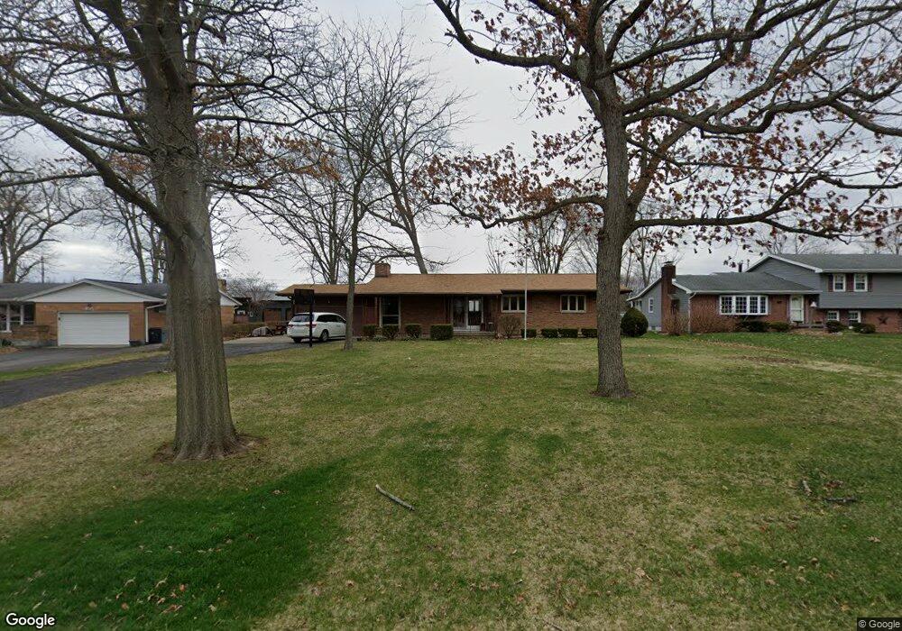
1940 Devon Dr Springfield, OH 45503
Estimated Value: $250,349 - $273,000
3
Beds
2
Baths
1,797
Sq Ft
$145/Sq Ft
Est. Value
About This Home
This home is located at 1940 Devon Dr, Springfield, OH 45503 and is currently estimated at $261,087, approximately $145 per square foot. 1940 Devon Dr is a home located in Clark County with nearby schools including Northridge Elementary School, Kenton Ridge Middle & High School, and Emmanuel Christian Academy.
Ownership History
Date
Name
Owned For
Owner Type
Purchase Details
Closed on
Mar 30, 2001
Sold by
Lininger Stephen M
Bought by
Lininger Stephen M and Lininger Teresa A
Current Estimated Value
Purchase Details
Closed on
Apr 5, 1996
Sold by
Horner George S
Bought by
Lininger Stephen M
Home Financials for this Owner
Home Financials are based on the most recent Mortgage that was taken out on this home.
Original Mortgage
$86,000
Outstanding Balance
$2,336
Interest Rate
7.36%
Mortgage Type
New Conventional
Estimated Equity
$258,751
Create a Home Valuation Report for This Property
The Home Valuation Report is an in-depth analysis detailing your home's value as well as a comparison with similar homes in the area
Home Values in the Area
Average Home Value in this Area
Purchase History
| Date | Buyer | Sale Price | Title Company |
|---|---|---|---|
| Lininger Stephen M | -- | -- | |
| Lininger Stephen M | $118,000 | -- |
Source: Public Records
Mortgage History
| Date | Status | Borrower | Loan Amount |
|---|---|---|---|
| Open | Lininger Stephen M | $86,000 |
Source: Public Records
Tax History
| Year | Tax Paid | Tax Assessment Tax Assessment Total Assessment is a certain percentage of the fair market value that is determined by local assessors to be the total taxable value of land and additions on the property. | Land | Improvement |
|---|---|---|---|---|
| 2025 | $2,565 | $69,500 | $12,690 | $56,810 |
| 2024 | $2,480 | $58,650 | $11,140 | $47,510 |
| 2023 | $2,480 | $58,650 | $11,140 | $47,510 |
| 2022 | $2,489 | $58,650 | $11,140 | $47,510 |
| 2021 | $1,940 | $38,730 | $7,960 | $30,770 |
| 2020 | $1,941 | $38,730 | $7,960 | $30,770 |
| 2019 | $1,978 | $38,730 | $7,960 | $30,770 |
| 2018 | $2,297 | $43,120 | $7,560 | $35,560 |
| 2017 | $1,968 | $41,605 | $7,557 | $34,048 |
| 2016 | $1,955 | $41,605 | $7,557 | $34,048 |
| 2015 | $1,834 | $42,004 | $7,956 | $34,048 |
| 2014 | $1,834 | $42,004 | $7,956 | $34,048 |
| 2013 | $1,791 | $42,004 | $7,956 | $34,048 |
Source: Public Records
Map
Nearby Homes
- 1924 Marinette Dr
- 2529 Marinette Dr
- 1811 Devon Dr
- 3214 Revels St
- 2400 Thor Dr
- 3300 Revels St
- 1948 Falmouth Ave
- 2022 Westboro Ave
- 2861 Ashlar Dr
- 1628 Yorkshire Ct
- 2553 Derr Rd
- 1032 Armsgate Rd
- 3124 El Camino Dr
- 3126 Lakeview Ct Unit 3126
- 1040 Carson Ln
- 1139 Bradford Dr
- 1046 Fruitland Rd
- 2332 Villa Rd
- 3135 Imperial Blvd
- 1705 Magnolia Blvd
- 1948 Devon Dr
- 1934 Devon Dr
- 2017 Waltham Ave
- 2019 Waltham Ave
- 2015 Waltham Ave
- 2021 Waltham Ave
- 1926 Devon Dr
- 1941 Devon Dr
- 1960 Devon Dr
- 1949 Devon Dr
- 1931 Devon Dr
- 2013 Waltham Ave
- 2023 Waltham Ave
- 1915 Devon Dr
- 1918 Devon Dr
- 2014 Waltham Ave
- 2016 Waltham Ave
- 2551 Erter Dr
- 2010 Waltham Ave
- 2018 Waltham Ave
Your Personal Tour Guide
Ask me questions while you tour the home.