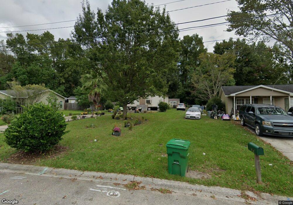
1940 Hampton Ct Georgetown, SC 29440
Estimated Value: $88,474 - $221,000
4
Beds
2
Baths
1,584
Sq Ft
$100/Sq Ft
Est. Value
About This Home
This home is located at 1940 Hampton Ct, Georgetown, SC 29440 and is currently estimated at $159,158, approximately $100 per square foot. 1940 Hampton Ct is a home located in Georgetown County with nearby schools including Kensington Elementary School, Georgetown Middle School, and Georgetown High School.
Ownership History
Date
Name
Owned For
Owner Type
Purchase Details
Closed on
Dec 20, 2004
Sold by
Habitat For Humanity For Georgetown Coun
Bought by
Walker Jessie M
Current Estimated Value
Purchase Details
Closed on
Aug 12, 2004
Sold by
Mccullough Kim
Bought by
Habitat For Humanity For Georgetown Coun
Purchase Details
Closed on
Jan 23, 2003
Sold by
Habitat For Humanity For Georgetown Coun
Bought by
Mccullough Kim
Create a Home Valuation Report for This Property
The Home Valuation Report is an in-depth analysis detailing your home's value as well as a comparison with similar homes in the area
Home Values in the Area
Average Home Value in this Area
Purchase History
| Date | Buyer | Sale Price | Title Company |
|---|---|---|---|
| Walker Jessie M | $75,000 | -- | |
| Habitat For Humanity For Georgetown Coun | $40,000 | -- | |
| Mccullough Kim | $65,000 | -- |
Source: Public Records
Tax History
| Year | Tax Paid | Tax Assessment Tax Assessment Total Assessment is a certain percentage of the fair market value that is determined by local assessors to be the total taxable value of land and additions on the property. | Land | Improvement |
|---|---|---|---|---|
| 2025 | $329 | $820 | $650 | $170 |
| 2024 | $329 | $820 | $650 | $170 |
| 2023 | $343 | $820 | $650 | $170 |
| 2022 | $311 | $820 | $650 | $170 |
| 2021 | $302 | $0 | $0 | $0 |
| 2020 | $254 | $0 | $0 | $0 |
| 2019 | $245 | $0 | $0 | $0 |
| 2018 | $248 | $0 | $0 | $0 |
| 2017 | $81 | $0 | $0 | $0 |
| 2016 | $79 | $432 | $0 | $0 |
| 2015 | $573 | $0 | $0 | $0 |
| 2014 | $573 | $10,800 | $10,800 | $0 |
| 2012 | -- | $78,000 | $10,800 | $67,200 |
Source: Public Records
Map
Nearby Homes
- 615 Palm St
- 0 Legion St
- 902 Palm St
- 815 N Congdon St
- 3120 Highmarket St
- 2478 N Fraser St Unit 12+ acres
- TBD U S 701 Hwy
- 0 Rainey Dr
- 1508 Duke St
- 611 Dekalb St
- 105 S Merriman Rd
- 105 S Merriman Rd Unit 1
- 1114 Front St
- 125 N Fraser St
- 1528 Winyah St
- 1137 Palmetto St
- 2527 Highmarket St
- 1209 Prince St
- 635 Magnolia Dr
- 1109 Duke St
- 1932 Hampton Ct
- 1946 Hampton Ct
- 1954 Hampton Ct
- 1954 Hampton Ct Unit Hampton Court
- 1939 Hampton Ct
- 1924 Hampton Ct
- 1907 Legion St
- 1905 Legion St
- 615 N Merriman Rd
- 617 N Merriman Rd
- 1909 Legion St
- 1903 Legion St
- 1945 Hampton Ct
- 1913 Legion St
- 1933 Hampton Ct
- 1960 Hampton Ct
- 1908 Hampton Ct
- 1916 Hampton Ct
- 1955 Hampton Ct
- 619 N Merriman Rd
Your Personal Tour Guide
Ask me questions while you tour the home.