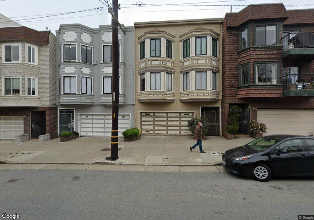
1940 Hayes St Unit 2 San Francisco, CA 94117
North of the Panhandle NeighborhoodEstimated Value: $1,022,000 - $1,041,000
2
Beds
1
Bath
1,050
Sq Ft
$984/Sq Ft
Est. Value
About This Home
This home is located at 1940 Hayes St Unit 2, San Francisco, CA 94117 and is currently estimated at $1,033,198, approximately $983 per square foot. 1940 Hayes St Unit 2 is a home located in San Francisco County with nearby schools including New Traditions Elementary School, Roosevelt Middle School, and San Francisco Day School.
Ownership History
Date
Name
Owned For
Owner Type
Purchase Details
Closed on
Apr 24, 2020
Sold by
Monty Stephen R and Monty Katherine B
Bought by
Monty Stephen R and Monty Katherine B
Current Estimated Value
Home Financials for this Owner
Home Financials are based on the most recent Mortgage that was taken out on this home.
Original Mortgage
$550,000
Outstanding Balance
$465,153
Interest Rate
3.3%
Mortgage Type
Credit Line Revolving
Estimated Equity
$568,045
Purchase Details
Closed on
Oct 7, 2008
Sold by
Monty Stephen R and Monty Katherine B
Bought by
Monty Stephen R and Monty Katherine B
Purchase Details
Closed on
May 10, 2002
Sold by
Kamen Linda Fox
Bought by
Monty Stephen R and Monty Katherine B
Home Financials for this Owner
Home Financials are based on the most recent Mortgage that was taken out on this home.
Original Mortgage
$342,880
Interest Rate
6.12%
Create a Home Valuation Report for This Property
The Home Valuation Report is an in-depth analysis detailing your home's value as well as a comparison with similar homes in the area
Home Values in the Area
Average Home Value in this Area
Purchase History
| Date | Buyer | Sale Price | Title Company |
|---|---|---|---|
| Monty Stephen R | -- | North American Title Co Inc | |
| Monty Stephen R | -- | None Available | |
| Monty Stephen R | $429,000 | Fidelity National Title Co |
Source: Public Records
Mortgage History
| Date | Status | Borrower | Loan Amount |
|---|---|---|---|
| Open | Monty Stephen R | $550,000 | |
| Closed | Monty Stephen R | $342,880 |
Source: Public Records
Tax History Compared to Growth
Tax History
| Year | Tax Paid | Tax Assessment Tax Assessment Total Assessment is a certain percentage of the fair market value that is determined by local assessors to be the total taxable value of land and additions on the property. | Land | Improvement |
|---|---|---|---|---|
| 2025 | $8,114 | $633,736 | $316,868 | $316,868 |
| 2024 | $8,114 | $621,310 | $310,655 | $310,655 |
| 2023 | $7,951 | $609,128 | $304,564 | $304,564 |
| 2022 | $7,777 | $597,186 | $298,593 | $298,593 |
| 2021 | $7,636 | $585,478 | $292,739 | $292,739 |
| 2020 | $7,683 | $579,476 | $289,738 | $289,738 |
| 2019 | $7,424 | $568,114 | $284,057 | $284,057 |
| 2018 | $7,176 | $556,976 | $278,488 | $278,488 |
| 2017 | $6,793 | $546,056 | $273,028 | $273,028 |
| 2016 | $6,664 | $535,350 | $267,675 | $267,675 |
| 2015 | $6,580 | $527,310 | $263,655 | $263,655 |
| 2014 | $6,408 | $516,982 | $258,491 | $258,491 |
Source: Public Records
Map
Nearby Homes
- 1858 Grove St Unit 1860
- 1945-1947 Fulton St
- 1945 Fulton St
- 2041 Hayes St Unit 3
- 1947 Fulton St
- 2067 Hayes St Unit Top
- 1809 Oak St
- 2131 Grove St
- 2001 Mcallister St Unit 120
- 1732-1736 Page St
- 1738-1742 Page St
- 1024 Masonic Ave
- 558 Central Ave
- 529 Clayton St
- 233 Central Ave
- 2267 Hayes St
- 516 Stanyan St
- 1328-1330 Waller St
- 2276 Fulton St
- 1328 Waller St
- 1940 Hayes St Unit 4
- 1940 Hayes St Unit 3
- 1940 Hayes St Unit 1
- 1930 Hayes St Unit 3
- 1930 Hayes St Unit 2
- 1930 Hayes St Unit 1
- 1950 Hayes St Unit 4
- 1950 Hayes St Unit 3
- 1950 Hayes St Unit 2
- 1950 Hayes St Unit 1
- 1924 Hayes St Unit 4
- 1924 Hayes St Unit 3
- 1924 Hayes St Unit 2
- 1924 Hayes St Unit 1
- 1960 Hayes St Unit 10
- 1960 Hayes St Unit 9
- 1960 Hayes St Unit 8
- 1960 Hayes St Unit 6
- 1960 Hayes St Unit 5
- 1960 Hayes St Unit 4