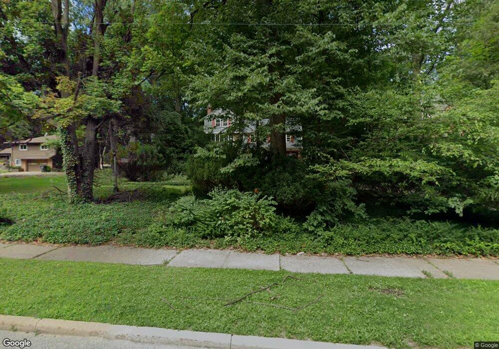
1940 S Belvoir Blvd Cleveland, OH 44121
Estimated Value: $312,000 - $346,000
5
Beds
3
Baths
2,516
Sq Ft
$130/Sq Ft
Est. Value
About This Home
This home is located at 1940 S Belvoir Blvd, Cleveland, OH 44121 and is currently estimated at $327,577, approximately $130 per square foot. 1940 S Belvoir Blvd is a home located in Cuyahoga County with nearby schools including Rowland Elementary School, Greenview Upper Elementary School, and Memorial Junior High School.
Ownership History
Date
Name
Owned For
Owner Type
Purchase Details
Closed on
Jul 27, 1995
Sold by
Williams Steven D
Bought by
Butler Lynn C and Butler Christopher S
Current Estimated Value
Home Financials for this Owner
Home Financials are based on the most recent Mortgage that was taken out on this home.
Original Mortgage
$138,400
Interest Rate
7.59%
Mortgage Type
New Conventional
Purchase Details
Closed on
Jun 10, 1987
Sold by
Andrews Vernon S
Bought by
Williams Steven D and Williams Linda J
Purchase Details
Closed on
Dec 8, 1983
Sold by
Andrews Vernon S and Andrews Lorraine
Bought by
Andrews Vernon S
Purchase Details
Closed on
Jan 1, 1975
Bought by
Andrews Vernon S and Andrews Lorraine
Create a Home Valuation Report for This Property
The Home Valuation Report is an in-depth analysis detailing your home's value as well as a comparison with similar homes in the area
Home Values in the Area
Average Home Value in this Area
Purchase History
| Date | Buyer | Sale Price | Title Company |
|---|---|---|---|
| Butler Lynn C | $173,000 | -- | |
| Williams Steven D | $135,000 | -- | |
| Andrews Vernon S | -- | -- | |
| Andrews Vernon S | -- | -- |
Source: Public Records
Mortgage History
| Date | Status | Borrower | Loan Amount |
|---|---|---|---|
| Closed | Butler Lynn C | $138,400 |
Source: Public Records
Tax History Compared to Growth
Tax History
| Year | Tax Paid | Tax Assessment Tax Assessment Total Assessment is a certain percentage of the fair market value that is determined by local assessors to be the total taxable value of land and additions on the property. | Land | Improvement |
|---|---|---|---|---|
| 2024 | $7,609 | $101,465 | $24,255 | $77,210 |
| 2023 | $7,550 | $81,200 | $22,120 | $59,080 |
| 2022 | $7,509 | $81,200 | $22,120 | $59,080 |
| 2021 | $7,449 | $81,200 | $22,120 | $59,080 |
| 2020 | $7,356 | $70,000 | $19,080 | $50,930 |
| 2019 | $6,701 | $200,000 | $54,500 | $145,500 |
| 2018 | $6,621 | $70,000 | $19,080 | $50,930 |
| 2017 | $6,783 | $65,390 | $18,450 | $46,940 |
| 2016 | $6,739 | $65,390 | $18,450 | $46,940 |
| 2015 | $6,531 | $65,390 | $18,450 | $46,940 |
| 2014 | $6,531 | $65,390 | $18,450 | $46,940 |
Source: Public Records
Map
Nearby Homes
- 1940 Temblethurst Rd
- 4237 Verona Rd
- 4249 Wyncote Rd
- 1895 Temblethurst Rd
- 4206 Verona Rd
- 4194 Stilmore Rd
- 4210 Stonehaven Rd
- 4233 Bayard Rd
- 4158 Wyncote Rd
- 2091 S Belvoir Blvd
- 2108 S Belvoir Blvd
- 4197 Okalona Rd
- 2015 S Green Rd
- 4124 Bayard Rd
- 14213 Cedar Rd
- 1796 S Green Rd
- 4121 Hinsdale Rd
- 1744 S Green Rd
- 4201 Lambert Rd
- 4521 Golfway Rd
- 1930 S Belvoir Blvd
- 1956 S Belvoir Blvd
- 1920 S Belvoir Blvd
- 1931 Wrenford Rd
- 1943 Wrenford Rd
- 1935 Wrenford Rd
- 1947 Wrenford Rd
- 1927 Wrenford Rd
- 1951 Wrenford Rd
- 1910 S Belvoir Blvd
- 1923 Wrenford Rd
- 1978 S Belvoir Blvd
- 1917 Wrenford Rd
- 1952 Temblethurst Rd
- 4268 Verona Rd
- 1948 Temblethurst Rd
- 1911 Wrenford Rd
- 1968 Temblethurst Rd
- 1900 S Belvoir Blvd
- 1924 Temblethurst Rd