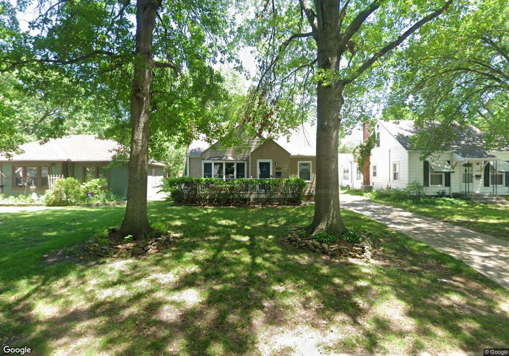
1940 SW Stone Ave Topeka, KS 66604
Central Topeka NeighborhoodEstimated Value: $163,000 - $183,000
3
Beds
1
Bath
1,284
Sq Ft
$135/Sq Ft
Est. Value
About This Home
This home is located at 1940 SW Stone Ave, Topeka, KS 66604 and is currently estimated at $172,836, approximately $134 per square foot. 1940 SW Stone Ave is a home located in Shawnee County with nearby schools including Whitson Elementary School, Marjorie French Middle School, and Topeka West High School.
Ownership History
Date
Name
Owned For
Owner Type
Purchase Details
Closed on
Jul 15, 2022
Sold by
Meier Kirk C and Meier Nicole A
Bought by
Meek Aaron and Meek Amy
Current Estimated Value
Purchase Details
Closed on
Jun 1, 2005
Sold by
Bradshaw James P and Bradshaw Joanna D
Bought by
Meier Kirk C and Meier Nicole A
Home Financials for this Owner
Home Financials are based on the most recent Mortgage that was taken out on this home.
Original Mortgage
$97,042
Interest Rate
5.79%
Mortgage Type
New Conventional
Create a Home Valuation Report for This Property
The Home Valuation Report is an in-depth analysis detailing your home's value as well as a comparison with similar homes in the area
Home Values in the Area
Average Home Value in this Area
Purchase History
| Date | Buyer | Sale Price | Title Company |
|---|---|---|---|
| Meek Aaron | -- | Heartland Title | |
| Meier Kirk C | -- | Capital Title Ins Co Lc |
Source: Public Records
Mortgage History
| Date | Status | Borrower | Loan Amount |
|---|---|---|---|
| Previous Owner | Meier Kirk C | $97,042 |
Source: Public Records
Tax History Compared to Growth
Tax History
| Year | Tax Paid | Tax Assessment Tax Assessment Total Assessment is a certain percentage of the fair market value that is determined by local assessors to be the total taxable value of land and additions on the property. | Land | Improvement |
|---|---|---|---|---|
| 2025 | $2,381 | $17,657 | -- | -- |
| 2023 | $2,381 | $16,022 | $0 | $0 |
| 2022 | $2,062 | $13,932 | $0 | $0 |
| 2021 | $1,893 | $12,115 | $0 | $0 |
| 2020 | $1,781 | $11,538 | $0 | $0 |
| 2019 | $1,792 | $11,538 | $0 | $0 |
| 2018 | $1,740 | $11,202 | $0 | $0 |
| 2017 | $1,709 | $10,983 | $0 | $0 |
| 2014 | $1,764 | $11,217 | $0 | $0 |
Source: Public Records
Map
Nearby Homes
- 2028 SW Stone Ave
- 2012 SW Westwood Dr
- 1625 SW Lakeside Dr
- 4230 SW 19th St
- 3636 SW Stratford Rd
- 4221 SW 17th St
- 1533 SW Stratford Rd
- 4200 SW Stratford Rd
- 4401 SW Connemara Ln
- 4405 SW Connemara Ln
- 1520 SW Oakley Ave
- 3100 SW Canterbury Ln
- 1540 SW Webster Ave
- 1944 SW Quivira Dr
- 1421 SW Mcalister Ave
- 3405 SW Huntoon St
- 1355 SW Medford Ave
- 2401 SW James St
- 2330 SW Wayne Ave
- 3904 SW 26th St
- 1948 SW Stone Ave
- 1936 SW Stone Ave
- 1932 SW Stone Ave
- 2000 SW Stone Ave
- 1947 SW Bowman Ct
- 1939 SW Bowman Ct
- 1935 SW Bowman Ct
- 1924 SW Stone Ave
- 1943 SW Stone Ave
- 1937 SW Stone Ave
- 1947 SW Stone Ave
- 1931 SW Bowman Ct
- 2001 SW Bowman Ct
- 2004 SW Stone Ave
- 1933 SW Stone Ave
- 1929 SW Stone Ave
- 1920 SW Stone Ave
- 2003 SW Stone Ave
- 1925 SW Bowman Ct
- 2005 SW Bowman Ct