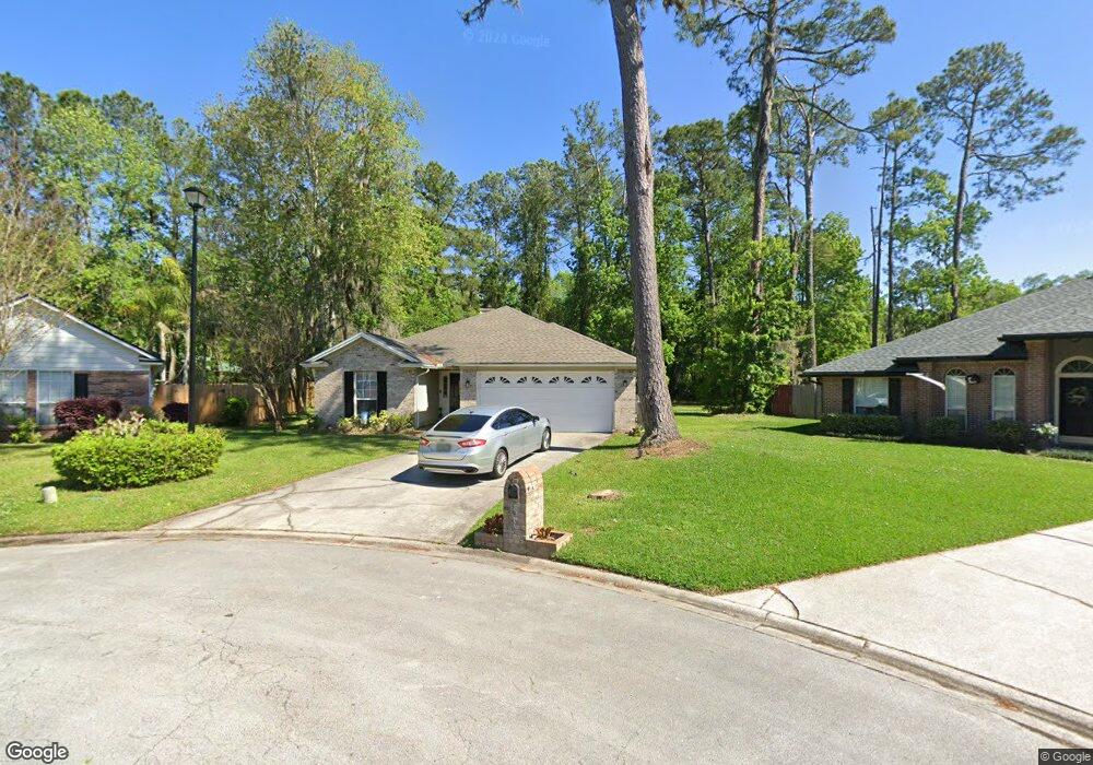
1940 Trout River Ct Fleming Island, FL 32003
Estimated Value: $343,572 - $423,000
4
Beds
2
Baths
1,750
Sq Ft
$214/Sq Ft
Est. Value
About This Home
This home is located at 1940 Trout River Ct, Fleming Island, FL 32003 and is currently estimated at $375,143, approximately $214 per square foot. 1940 Trout River Ct is a home located in Clay County with nearby schools including Thunderbolt Elementary School, Fleming Island High School, and Green Cove Springs Junior High School.
Ownership History
Date
Name
Owned For
Owner Type
Purchase Details
Closed on
Sep 27, 2018
Sold by
Prince Frances L
Bought by
Yamasa Co Ltd
Current Estimated Value
Purchase Details
Closed on
Dec 10, 2004
Sold by
Schroetter Lydia J and Schroetter Laurent A
Bought by
Prince Frances L
Home Financials for this Owner
Home Financials are based on the most recent Mortgage that was taken out on this home.
Original Mortgage
$127,120
Interest Rate
5.67%
Mortgage Type
Purchase Money Mortgage
Create a Home Valuation Report for This Property
The Home Valuation Report is an in-depth analysis detailing your home's value as well as a comparison with similar homes in the area
Home Values in the Area
Average Home Value in this Area
Purchase History
| Date | Buyer | Sale Price | Title Company |
|---|---|---|---|
| Yamasa Co Ltd | $181,000 | Fidelity Natl Title Of Flori | |
| Prince Frances L | $158,900 | -- |
Source: Public Records
Mortgage History
| Date | Status | Borrower | Loan Amount |
|---|---|---|---|
| Previous Owner | Prince Frances L | $127,120 |
Source: Public Records
Tax History Compared to Growth
Tax History
| Year | Tax Paid | Tax Assessment Tax Assessment Total Assessment is a certain percentage of the fair market value that is determined by local assessors to be the total taxable value of land and additions on the property. | Land | Improvement |
|---|---|---|---|---|
| 2024 | $4,060 | $291,241 | $50,000 | $241,241 |
| 2023 | $4,060 | $285,811 | $50,000 | $235,811 |
| 2022 | $3,540 | $248,262 | $50,000 | $198,262 |
| 2021 | $3,021 | $179,401 | $30,000 | $149,401 |
| 2020 | $2,781 | $167,876 | $30,000 | $137,876 |
| 2019 | $2,685 | $159,776 | $30,000 | $129,776 |
| 2018 | $2,542 | $160,328 | $0 | $0 |
| 2017 | $2,525 | $156,224 | $0 | $0 |
| 2016 | $2,470 | $149,109 | $0 | $0 |
| 2015 | $2,439 | $142,124 | $0 | $0 |
| 2014 | $1,626 | $130,528 | $0 | $0 |
Source: Public Records
Map
Nearby Homes
- 1944 Trout River Ct
- 1884 Lake Forest Ln
- 1675 Rustling Dr
- 1895 Osprey Bluff Blvd
- 31 Swimming Pen Dr
- 1508 Bay Harbor Dr
- 2305 Range Crescent Ct
- 1935 Saint George Ct
- 2480 Stoney Glen Dr
- 1920 Captiva Dr
- 1724 Sanctuary Way
- 2213 S Brook Dr
- 1684 Sanctuary Way
- 1685 Pinecrest Dr
- 2268 S Brook Dr
- 1693 Sanctuary Way
- 1936 Moorings Cir
- 1932 Moorings Cir
- 2300 Spring Hill Ct
- 2299 S Brook Dr
- 1945 Trout River Ct
- 1946 Cedar River Ct
- 1949 Trout River Ct
- 20 Old Hard Rd
- 1950 Cedar River Ct
- 1948 Trout River Ct
- 1954 Cedar River Ct
- 1958 Cedar River Ct
- 1942 Cedar River Ct
- 1952 Trout River Ct
- 1962 Cedar River Ct
- 1871 Suwannee River Dr
- 1949 Little River Dr
- 1938 Cedar River Ct
- 1877 Suwannee River Dr
- 1861 Suwannee River Dr
- 1949 Cedar River Ct
- 1945 Cedar River Ct
- 1941 Cedar River Ct
- 1957 Cedar River Ct