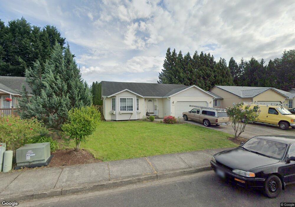
1940 Whitetail Ln Woodland, WA 98674
Estimated Value: $421,412 - $513,000
3
Beds
2
Baths
1,536
Sq Ft
$311/Sq Ft
Est. Value
About This Home
This home is located at 1940 Whitetail Ln, Woodland, WA 98674 and is currently estimated at $478,353, approximately $311 per square foot. 1940 Whitetail Ln is a home located in Cowlitz County with nearby schools including Woodland High School.
Ownership History
Date
Name
Owned For
Owner Type
Purchase Details
Closed on
Jul 10, 2019
Sold by
Zumstein David A and Murray Kathrine L
Bought by
Zumstein Robert J
Current Estimated Value
Purchase Details
Closed on
Mar 4, 2009
Sold by
Endeavor Properties Llc
Bought by
Zumstein Robert J and Zumstein Joan K
Purchase Details
Closed on
Dec 17, 2008
Sold by
Niemi Analie D
Bought by
Endeavor Properties Llc
Purchase Details
Closed on
May 6, 2005
Sold by
Niemi Lawrence
Bought by
Niemi Analie D
Home Financials for this Owner
Home Financials are based on the most recent Mortgage that was taken out on this home.
Original Mortgage
$135,600
Interest Rate
6.37%
Mortgage Type
Fannie Mae Freddie Mac
Create a Home Valuation Report for This Property
The Home Valuation Report is an in-depth analysis detailing your home's value as well as a comparison with similar homes in the area
Home Values in the Area
Average Home Value in this Area
Purchase History
| Date | Buyer | Sale Price | Title Company |
|---|---|---|---|
| Zumstein Robert J | -- | None Available | |
| Zumstein Robert J | $180,000 | Stewart Title | |
| Endeavor Properties Llc | $154,792 | Stewart Title | |
| Niemi Analie D | -- | Cascade Title Co | |
| Niemi Analie D | $169,492 | Cascade Title Co |
Source: Public Records
Mortgage History
| Date | Status | Borrower | Loan Amount |
|---|---|---|---|
| Previous Owner | Niemi Analie D | $135,600 | |
| Previous Owner | Niemi Analie D | $33,900 |
Source: Public Records
Tax History Compared to Growth
Tax History
| Year | Tax Paid | Tax Assessment Tax Assessment Total Assessment is a certain percentage of the fair market value that is determined by local assessors to be the total taxable value of land and additions on the property. | Land | Improvement |
|---|---|---|---|---|
| 2024 | $3,504 | $356,010 | $53,460 | $302,550 |
| 2023 | $3,272 | $347,800 | $53,460 | $294,340 |
| 2022 | $3,009 | $329,170 | $53,460 | $275,710 |
| 2021 | $2,737 | $284,940 | $48,600 | $236,340 |
| 2020 | $2,445 | $240,470 | $48,600 | $191,870 |
| 2019 | $2,102 | $211,200 | $48,600 | $162,600 |
| 2018 | $2,192 | $209,590 | $48,600 | $160,990 |
| 2017 | $1,850 | $188,350 | $48,600 | $139,750 |
| 2016 | $1,715 | $164,510 | $45,000 | $119,510 |
| 2015 | $1,675 | $149,840 | $45,000 | $104,840 |
| 2013 | -- | $139,950 | $36,810 | $103,140 |
Source: Public Records
Map
Nearby Homes
- 336 York St
- 284 Gun Club Rd
- 369 Gun Club Rd Unit 48
- 369 Gun Club Rd Unit 101
- 369 Gun Club Rd Unit 70
- 369 Gun Club Rd Unit 53
- 369 Gun Club Rd Unit 117
- 369 Gun Club Rd Unit 114
- 1786 Clatsop St
- 1833 Hawthorne Ct
- 2216 Statesman Dr Unit Lot 46
- 2210 Statesman Dr Unit 44
- 1850 Heartwood Dr
- 1986 Meadowood Loop
- 1776 Clover Ln
- 3060 Spruce Ave
- 3040 Spruce Ave
- 2185 Dahlia St
- 2229 Ash St Unit Lot 83
- 605 Gun Club Rd
- 1950 Whitetail Ln
- 1930 Whitetail Ln
- 1845 Rhododendron Dr
- 1960 Whitetail Ln
- 1825 Rhododendron Dr
- 1920 Whitetail Ln
- 1865 Rhododendron Dr
- 1955 Whitetail Ln
- 1945 Whitetail Ln
- 1965 Whitetail Ln
- 1805 Rhododendron Dr
- 1875 Rhododendron Dr
- 1970 Whitetail Ln
- 1917 Whitetail Ln
- 1975 Whitetail Ln
- 1940 Blacktail Ln
- 1950 Blacktail Ln
- 1840 Rhododendron Dr
- 1915 Rhododendron Dr
- 1980 Whitetail Ln