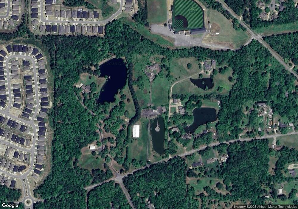
19400 Kanis Rd Little Rock, AR 72223
Chenal Valley NeighborhoodEstimated Value: $1,272,000 - $1,594,000
--
Bed
6
Baths
6,219
Sq Ft
$238/Sq Ft
Est. Value
About This Home
This home is located at 19400 Kanis Rd, Little Rock, AR 72223 and is currently estimated at $1,481,746, approximately $238 per square foot. 19400 Kanis Rd is a home located in Pulaski County with nearby schools including Chenal Elementary School, Joe T. Robinson Middle School, and Joe T. Robinson High School.
Ownership History
Date
Name
Owned For
Owner Type
Purchase Details
Closed on
Jul 31, 2012
Sold by
Osborne Marie E
Bought by
Rowan Development Llc
Current Estimated Value
Purchase Details
Closed on
Jul 15, 2002
Sold by
Mcdonald Judy L
Bought by
Osborne William J and Osborne Marie E
Home Financials for this Owner
Home Financials are based on the most recent Mortgage that was taken out on this home.
Original Mortgage
$685,000
Interest Rate
6.69%
Create a Home Valuation Report for This Property
The Home Valuation Report is an in-depth analysis detailing your home's value as well as a comparison with similar homes in the area
Home Values in the Area
Average Home Value in this Area
Purchase History
| Date | Buyer | Sale Price | Title Company |
|---|---|---|---|
| Rowan Development Llc | $847,000 | Pulaski County Title | |
| Osborne William J | $858,000 | Stewart Title |
Source: Public Records
Mortgage History
| Date | Status | Borrower | Loan Amount |
|---|---|---|---|
| Previous Owner | Osborne William J | $685,000 |
Source: Public Records
Tax History Compared to Growth
Tax History
| Year | Tax Paid | Tax Assessment Tax Assessment Total Assessment is a certain percentage of the fair market value that is determined by local assessors to be the total taxable value of land and additions on the property. | Land | Improvement |
|---|---|---|---|---|
| 2025 | $11,778 | $231,847 | $87,860 | $143,987 |
| 2024 | $11,778 | $231,847 | $87,860 | $143,987 |
| 2023 | $11,778 | $231,847 | $87,860 | $143,987 |
| 2022 | $12,964 | $231,847 | $87,860 | $143,987 |
| 2021 | $13,132 | $235,160 | $64,940 | $170,220 |
| 2020 | $13,132 | $235,160 | $64,940 | $170,220 |
| 2019 | $13,132 | $235,160 | $64,940 | $170,220 |
| 2018 | $11,946 | $235,160 | $64,940 | $170,220 |
| 2017 | $13,132 | $235,160 | $64,940 | $170,220 |
| 2016 | $11,840 | $233,070 | $43,930 | $189,140 |
| 2015 | $11,840 | $233,070 | $43,930 | $189,140 |
| 2014 | $11,840 | $233,070 | $43,930 | $189,140 |
Source: Public Records
Map
Nearby Homes
- 19124 Kanis Rd
- 317 Rosemary Way
- 19024 Kanis Rd
- 58 Bascom Dr
- 85 Fletcher Ridge Cir
- 138 Fletcher Ridge Dr
- 185 Fletcher Ridge Dr
- 163 Fletcher Ridge Dr
- 161 Fletcher Ridge Dr
- 204 Fletcher Ridge Dr
- 159 Fletcher Ridge Dr
- 2 Fletcher Ridge Cir
- 75 Fletcher Ridge Cir
- 736 Wildcreek Cir
- 61 Saffron Cir
- 115 Alsace Cove
- 50 Fletcher Ridge Cir
- 34 Fletcher Ridge Cir
- 50 Wildwood Place Cir
- 20 Accadia Ct
- 19300 Kanis Rd
- 19310 Kanis Rd
- 19424 Kanis Rd
- 215 Rosemary
- 301 Rosemary Way
- 211 Rosemary Way
- 303 Rosemary Way
- 0 Block 4 Parkside Unit 20037228
- 19600 Kanis Rd
- 209 Rosemary Way
- 305 Rosemary Way
- 207 Rosemary Way
- 19220 Kanis Rd
- 300 Rosemary Way
- 208 Rosemary Way
- 302 Rosemary Way
- 205 Rosemary Way
- 307 Rosemary Way
- lot 13 Block 1 Parkside
- 206 Rosemary Way
