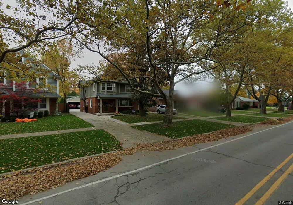
1941 E Lincoln St Birmingham, MI 48009
Estimated Value: $345,000 - $436,000
3
Beds
2
Baths
1,062
Sq Ft
$364/Sq Ft
Est. Value
About This Home
This home is located at 1941 E Lincoln St, Birmingham, MI 48009 and is currently estimated at $386,949, approximately $364 per square foot. 1941 E Lincoln St is a home located in Oakland County with nearby schools including Pembroke Elementary School, Derby Middle School, and Ernest W. Seaholm High School.
Ownership History
Date
Name
Owned For
Owner Type
Purchase Details
Closed on
Nov 21, 2024
Sold by
Rumsey Denise Ann
Bought by
Denise Rumsey Revocable Trust and Rumsey
Current Estimated Value
Purchase Details
Closed on
Jul 10, 2000
Sold by
George S Prentice Tr
Bought by
Rumsey Denise A
Home Financials for this Owner
Home Financials are based on the most recent Mortgage that was taken out on this home.
Original Mortgage
$119,200
Interest Rate
8.19%
Create a Home Valuation Report for This Property
The Home Valuation Report is an in-depth analysis detailing your home's value as well as a comparison with similar homes in the area
Home Values in the Area
Average Home Value in this Area
Purchase History
| Date | Buyer | Sale Price | Title Company |
|---|---|---|---|
| Denise Rumsey Revocable Trust | -- | None Listed On Document | |
| Rumsey Denise A | $149,000 | -- |
Source: Public Records
Mortgage History
| Date | Status | Borrower | Loan Amount |
|---|---|---|---|
| Previous Owner | Rumsey Denise A | $119,200 |
Source: Public Records
Tax History
| Year | Tax Paid | Tax Assessment Tax Assessment Total Assessment is a certain percentage of the fair market value that is determined by local assessors to be the total taxable value of land and additions on the property. | Land | Improvement |
|---|---|---|---|---|
| 2025 | $3,068 | $150,540 | $0 | $0 |
| 2024 | $2,708 | $140,100 | $0 | $0 |
| 2023 | $2,596 | $130,240 | $0 | $0 |
| 2022 | $2,783 | $122,200 | $0 | $0 |
| 2021 | $2,808 | $116,370 | $0 | $0 |
| 2020 | $2,502 | $109,930 | $0 | $0 |
| 2019 | $2,831 | $102,720 | $0 | $0 |
| 2018 | $2,810 | $97,030 | $0 | $0 |
| 2017 | $2,805 | $94,980 | $0 | $0 |
| 2016 | $2,811 | $93,450 | $0 | $0 |
| 2015 | -- | $87,090 | $0 | $0 |
| 2014 | -- | $72,850 | $0 | $0 |
| 2011 | -- | $62,030 | $0 | $0 |
Source: Public Records
Map
Nearby Homes
- 1982 E Lincoln St
- 1909 W Melton Rd
- 1257 S Eton St
- 1845 Humphrey Ave
- 1815 E Lincoln St
- 1963 Cole St
- 1798 Webster St
- 1840 Holland St
- 1571 Ruffner Ave
- 1982 Haynes St
- 1560 E Lincoln St
- 1588 Bennaville Ave
- 1476 Humphrey Ave
- 1368 Bennaville Ave
- 1489 Holland St
- 1308 E Lincoln St
- 1324 Holland St
- 1881 Hazel St
- 1211 E Lincoln St
- 1777 Hazel St
- 1951 E Lincoln St
- 1983 E Lincoln St Unit Bldg-Unit
- 1983 E Lincoln St
- 1927 E Lincoln St
- 1991 E Lincoln St Unit Bldg-Unit
- 1991 E Lincoln St
- 1905 E Lincoln St
- 1889 E Lincoln St
- 1910 Cole St
- 1950 Cole St
- 1964 Cole St
- 1936 Cole St
- 1918 Cole St
- 1972 Cole St
- 1896 Cole St
- 1863 E Lincoln St Unit Bldg-Unit
- 1863 E Lincoln St
- 1998 Cole St
- 1960 E Lincoln St
- 1942 E Lincoln St
Your Personal Tour Guide
Ask me questions while you tour the home.