1941 Eastchester Dr High Point, NC 27265
Festival Park NeighborhoodEstimated Value: $292,000 - $323,981
3
Beds
2
Baths
2,266
Sq Ft
$136/Sq Ft
Est. Value
About This Home
This home is located at 1941 Eastchester Dr, High Point, NC 27265 and is currently estimated at $307,745, approximately $135 per square foot. 1941 Eastchester Dr is a home located in Guilford County with nearby schools including Montlieu Academy of Technology, Welborn Academy of Science & Technology, and T.W. Andrews High School.
Ownership History
Date
Name
Owned For
Owner Type
Purchase Details
Closed on
Aug 29, 2001
Sold by
Stanton James R and Stanton Marlene N
Bought by
Stanton Shawn C
Current Estimated Value
Home Financials for this Owner
Home Financials are based on the most recent Mortgage that was taken out on this home.
Original Mortgage
$153,600
Outstanding Balance
$60,288
Interest Rate
7.08%
Estimated Equity
$247,457
Purchase Details
Closed on
Jun 8, 1998
Sold by
Head Albert W and Head Janice G
Bought by
Stanton James R and Stanton Marlene N
Home Financials for this Owner
Home Financials are based on the most recent Mortgage that was taken out on this home.
Original Mortgage
$180,500
Interest Rate
7.14%
Mortgage Type
Purchase Money Mortgage
Create a Home Valuation Report for This Property
The Home Valuation Report is an in-depth analysis detailing your home's value as well as a comparison with similar homes in the area
Home Values in the Area
Average Home Value in this Area
Purchase History
| Date | Buyer | Sale Price | Title Company |
|---|---|---|---|
| Stanton Shawn C | $192,000 | -- | |
| Stanton James R | $190,000 | -- |
Source: Public Records
Mortgage History
| Date | Status | Borrower | Loan Amount |
|---|---|---|---|
| Open | Stanton Shawn C | $153,600 | |
| Closed | Stanton James R | $180,500 |
Source: Public Records
Tax History Compared to Growth
Tax History
| Year | Tax Paid | Tax Assessment Tax Assessment Total Assessment is a certain percentage of the fair market value that is determined by local assessors to be the total taxable value of land and additions on the property. | Land | Improvement |
|---|---|---|---|---|
| 2025 | $3,650 | $264,900 | $74,800 | $190,100 |
| 2024 | $3,650 | $264,900 | $74,800 | $190,100 |
| 2023 | $3,650 | $264,900 | $74,800 | $190,100 |
| 2022 | $3,571 | $264,900 | $74,800 | $190,100 |
| 2021 | $2,660 | $193,000 | $34,500 | $158,500 |
| 2020 | $2,660 | $193,000 | $34,500 | $158,500 |
| 2019 | $2,660 | $193,000 | $0 | $0 |
| 2018 | $2,646 | $193,000 | $0 | $0 |
| 2017 | $2,606 | $189,100 | $0 | $0 |
| 2016 | $2,710 | $193,200 | $0 | $0 |
| 2015 | $2,724 | $193,200 | $0 | $0 |
| 2014 | $2,770 | $193,200 | $0 | $0 |
Source: Public Records
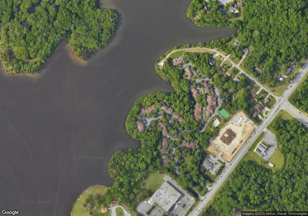
Map
Nearby Homes
- 1935 Eastchester Dr
- 2200 Delaine Point
- 3521 Sunset Hollow Ct
- 1924 Middlewood Ct
- 3630 Sunset Hollow Dr
- 2115 Mirus Ct
- 1906 Greenstone Place
- 3400 Herron Point
- 3741 Georgia Pond Ln
- 4307 Oak Hollow Dr
- 2218 Hilton Ct
- 4407 Oak Hollow Dr
- 2806 Splitbrooke Dr
- 4218 Pelican St
- 2302 Gordon Rd
- 3710 Spanish Peak Dr Unit 2D
- 3753 Carvette Ct
- 3724 Spanish Peak Dr Unit 2B
- 2511 Copperleaf Ct
- 1706 Lazy Ln
- 1941 Eastchester Dr Unit D
- 1941 Eastchester Dr Unit C
- 1941 Eastchester Dr Unit B
- 1941 Eastchester Dr Unit A
- 1939 Eastchester Dr Unit C
- 1939 Eastchester Dr Unit D
- 1939 Eastchester Dr Unit C
- 1939 Eastchester Dr Unit B
- 1939 Eastchester Dr Unit A
- 1939 Eastchester Dr
- 1943 Eastchester Dr Unit D
- 1943 Eastchester Dr Unit C
- 1943 Eastchester Dr Unit B
- 1943 Eastchester Dr Unit A
- 1943 Eastchester Dr
- 1945 Eastchester Dr Unit D
- 1945 Eastchester Dr Unit C
- 1945 Eastchester Dr Unit B
- 1945 Eastchester Dr Unit A
- 1945 Eastchester Dr