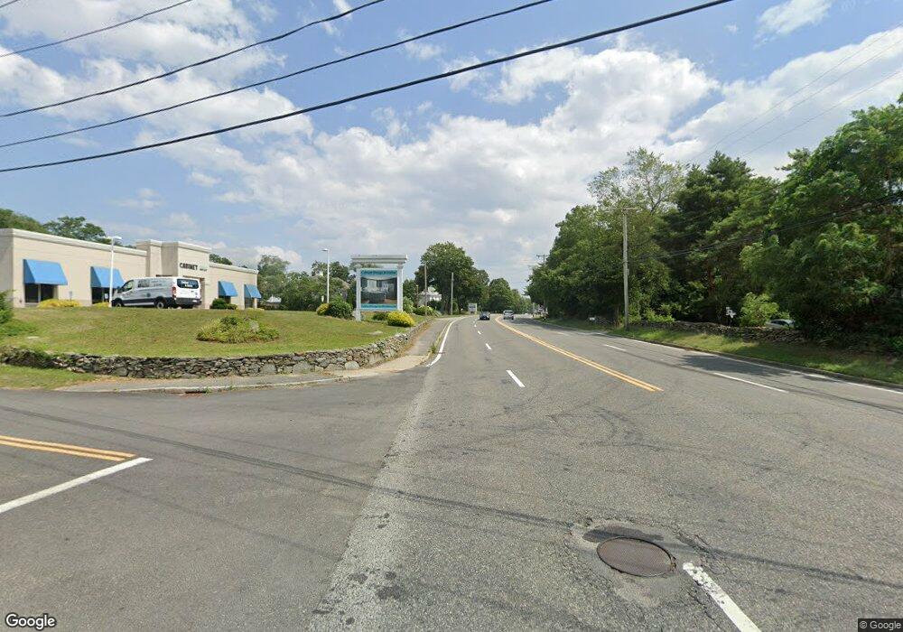
1941 G A R Hwy (Rt 6) Swansea, MA 02777
Monroes-South Seekonk NeighborhoodEstimated Value: $1,577,122
--
Bed
--
Bath
1,596
Sq Ft
$988/Sq Ft
Est. Value
About This Home
This home is located at 1941 G A R Hwy (Rt 6), Swansea, MA 02777 and is currently estimated at $1,577,122, approximately $988 per square foot. 1941 G A R Hwy (Rt 6) is a home located in Bristol County with nearby schools including Dighton-Rehoboth Regional High School, Highlander Charter Middle and High School, and East Bay Career Academy.
Ownership History
Date
Name
Owned For
Owner Type
Purchase Details
Closed on
Nov 2, 2006
Sold by
Fonseca Antonio T
Bought by
Fonseca Patricia A
Current Estimated Value
Create a Home Valuation Report for This Property
The Home Valuation Report is an in-depth analysis detailing your home's value as well as a comparison with similar homes in the area
Home Values in the Area
Average Home Value in this Area
Purchase History
| Date | Buyer | Sale Price | Title Company |
|---|---|---|---|
| Fonseca Patricia A | -- | -- | |
| Fonseca Patricia A | -- | -- |
Source: Public Records
Tax History Compared to Growth
Tax History
| Year | Tax Paid | Tax Assessment Tax Assessment Total Assessment is a certain percentage of the fair market value that is determined by local assessors to be the total taxable value of land and additions on the property. | Land | Improvement |
|---|---|---|---|---|
| 2025 | $0 | $765,000 | $463,000 | $302,000 |
| 2024 | $0 | $763,000 | $463,000 | $300,000 |
| 2023 | $0 | $690,900 | $463,400 | $227,500 |
| 2022 | $16,935 | $683,200 | $463,400 | $219,800 |
| 2021 | $16,935 | $689,800 | $526,400 | $163,400 |
| 2020 | $14,146 | $691,100 | $526,400 | $164,700 |
| 2019 | $14,125 | $636,600 | $466,700 | $169,900 |
| 2018 | $13,975 | $632,400 | $466,700 | $165,700 |
| 2017 | -- | $638,000 | $466,700 | $171,300 |
| 2016 | -- | $605,200 | $466,700 | $138,500 |
| 2015 | -- | $610,400 | $466,700 | $143,700 |
| 2014 | -- | $375,300 | $286,200 | $89,100 |
Source: Public Records
Map
Nearby Homes
- 249 Barneyville Rd
- 43 Baptist St
- 7 Cheshire Dr
- 10 Quaker Ln
- 4 Old Chimney Rd
- 5 George St
- 9 Lambert Ln
- 0 Old Fall River Rd Unit 73399047
- 72 Neadam Ct
- 25 Wagonwheel Rd
- 32 Providence St
- 44 Raymond Dr
- 7 Wright Place
- 20 Burr Ave
- 19 Evergreen St
- 1705 Wampanoag Trail
- 72 School St
- 3 Pine Top Rd
- 28 Baron Rd
- 7 Simmons Rd
- 5 Old Providence Rd
- 50 Fall River Ave
- 467 Old Providence Rd
- 0 Old Providence Rd
- 455 Old Providence Rd
- 0 Old Providence St
- 466 Old Providence Rd
- 199 Barney Ave
- 450 Old Providence Rd
- 14 Fall River Ave
- 442 Old Providence Rd
- 191 Barney Ave
- 191 Barney Ave
- 191 Barney Ave
- 434 Old Providence Rd
- 416 Old Providence Rd
- 367 Old Providence Rd
- 428 Old Providence Rd
- 1 Barneyville Rd
- 363 Old Providence Rd
