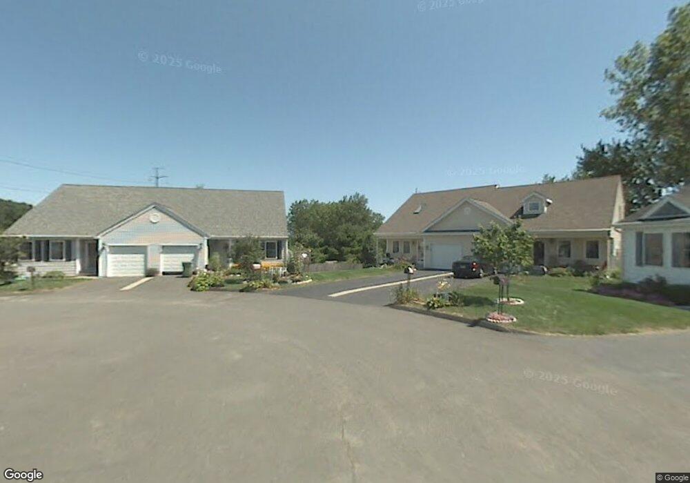
1941 Logans Way Windsor, CT 06095
Estimated Value: $286,464 - $332,000
2
Beds
2
Baths
1,529
Sq Ft
$204/Sq Ft
Est. Value
About This Home
This home is located at 1941 Logans Way, Windsor, CT 06095 and is currently estimated at $311,866, approximately $203 per square foot. 1941 Logans Way is a home located in Hartford County with nearby schools including Oliver Ellsworth School, John F. Kennedy School, and Sage Park Middle School.
Ownership History
Date
Name
Owned For
Owner Type
Purchase Details
Closed on
Oct 13, 2015
Sold by
Robinson Suzanne E
Bought by
Herbert Van G and Herbert Michael A
Current Estimated Value
Purchase Details
Closed on
Aug 2, 2012
Sold by
Robinson Suzanne E
Bought by
Suzanne E Robinson T E and Suzanne Robinson
Purchase Details
Closed on
Oct 11, 2002
Sold by
Sasportas Co
Bought by
Robinson Suzanne
Create a Home Valuation Report for This Property
The Home Valuation Report is an in-depth analysis detailing your home's value as well as a comparison with similar homes in the area
Home Values in the Area
Average Home Value in this Area
Purchase History
| Date | Buyer | Sale Price | Title Company |
|---|---|---|---|
| Herbert Van G | -- | -- | |
| Suzanne E Robinson T E | -- | -- | |
| Robinson Suzanne | $167,200 | -- | |
| Herbert Van G | -- | -- | |
| Suzanne E Robinson T E | -- | -- | |
| Robinson Suzanne | $167,200 | -- |
Source: Public Records
Mortgage History
| Date | Status | Borrower | Loan Amount |
|---|---|---|---|
| Previous Owner | Robinson Suzanne | $95,500 | |
| Previous Owner | Robinson Suzanne | $104,500 |
Source: Public Records
Tax History
| Year | Tax Paid | Tax Assessment Tax Assessment Total Assessment is a certain percentage of the fair market value that is determined by local assessors to be the total taxable value of land and additions on the property. | Land | Improvement |
|---|---|---|---|---|
| 2025 | $4,634 | $162,890 | $0 | $162,890 |
| 2024 | $4,939 | $162,890 | $0 | $162,890 |
| 2023 | $3,330 | $99,120 | $0 | $99,120 |
| 2022 | $3,298 | $99,120 | $0 | $99,120 |
| 2021 | $3,298 | $99,120 | $0 | $99,120 |
| 2020 | $3,282 | $99,120 | $0 | $99,120 |
| 2019 | $3,207 | $99,050 | $0 | $99,050 |
| 2018 | $3,435 | $104,230 | $0 | $104,230 |
| 2017 | $3,382 | $104,230 | $0 | $104,230 |
| 2016 | $3,285 | $104,230 | $0 | $104,230 |
| 2015 | $3,223 | $104,230 | $0 | $104,230 |
| 2014 | $3,176 | $104,230 | $0 | $104,230 |
Source: Public Records
Map
Nearby Homes
- 1943 Logans Way
- 1943 Logans Way Unit 1943
- 1937 Logans Way
- 1934 Logans Way
- 1934 Logans Way Unit 1934
- 1935 Logans Way
- 1935 Logans Way Unit 1935
- 1931 Logans Way
- 1931 Logans Way Unit 1931
- 1929 Logans Way Unit 1929
- 148 Deerfield Rd
- 1926 Logans Way
- 1932 Logans Way
- 1928 Logans Way
- 144 Deerfield Rd
- 1922 Logans Way
- 1922 Logans Way
- 1920 Logans Way
- 155 Deerfield Rd
- 151 Deerfield Rd
Your Personal Tour Guide
Ask me questions while you tour the home.