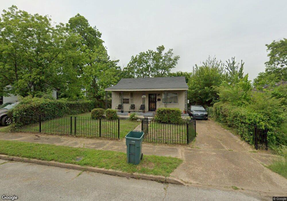
1941 S Barksdale St Memphis, TN 38114
Southeast Memphis NeighborhoodEstimated Value: $78,000 - $93,000
3
Beds
2
Baths
1,242
Sq Ft
$68/Sq Ft
Est. Value
About This Home
This home is located at 1941 S Barksdale St, Memphis, TN 38114 and is currently estimated at $84,974, approximately $68 per square foot. 1941 S Barksdale St is a home located in Shelby County with nearby schools including Hamilton High School, Memphis College Preparatory, and Veritas College Preparatory.
Ownership History
Date
Name
Owned For
Owner Type
Purchase Details
Closed on
May 5, 2003
Sold by
Townsend Gloria Dian
Bought by
Townsend Vernon E and Townsend Gloria Dian
Current Estimated Value
Home Financials for this Owner
Home Financials are based on the most recent Mortgage that was taken out on this home.
Original Mortgage
$43,600
Interest Rate
5.76%
Mortgage Type
Unknown
Create a Home Valuation Report for This Property
The Home Valuation Report is an in-depth analysis detailing your home's value as well as a comparison with similar homes in the area
Home Values in the Area
Average Home Value in this Area
Purchase History
| Date | Buyer | Sale Price | Title Company |
|---|---|---|---|
| Townsend Vernon E | -- | Chicago Title Insurance Co |
Source: Public Records
Mortgage History
| Date | Status | Borrower | Loan Amount |
|---|---|---|---|
| Closed | Townsend Vernon E | $43,600 |
Source: Public Records
Tax History Compared to Growth
Tax History
| Year | Tax Paid | Tax Assessment Tax Assessment Total Assessment is a certain percentage of the fair market value that is determined by local assessors to be the total taxable value of land and additions on the property. | Land | Improvement |
|---|---|---|---|---|
| 2025 | $180 | $11,050 | $1,500 | $9,550 |
| 2024 | $180 | $5,300 | $1,000 | $4,300 |
| 2023 | $323 | $5,300 | $1,000 | $4,300 |
| 2022 | $323 | $5,300 | $1,000 | $4,300 |
| 2021 | $327 | $5,300 | $1,000 | $4,300 |
| 2020 | $351 | $4,850 | $1,000 | $3,850 |
| 2019 | $351 | $4,850 | $1,000 | $3,850 |
| 2018 | $351 | $4,850 | $1,000 | $3,850 |
| 2017 | $199 | $4,850 | $1,000 | $3,850 |
| 2016 | $253 | $5,800 | $0 | $0 |
| 2014 | $253 | $5,800 | $0 | $0 |
Source: Public Records
Map
Nearby Homes
- 1949 Lapaloma St
- 1817 S Barksdale St
- 1832 Rozelle St
- 1824 Rozelle St
- 1936 Frisco Ave
- 1971 Boyle Ave
- 1560 Cane Rd
- 996 Rozelle St
- 1790 Westmore St
- 1698 Rayner St
- 0 Airways Blvd Unit 10199303
- 2151 Goff Ave
- 1721 W Silver St
- 2149 Wabash Ave
- 1720 Airways Blvd
- 1439 Menager Rd
- 1493 Oaklawn St
- 2416 Verdun St
- 1481 Oaklawn St
- 0 Dublin Ave Unit LOTS 20 & 21 LAST TW
- 1933 S Barksdale St
- 1947 S Barksdale St
- 1929 S Barksdale St
- 1938 State St
- 1934 State St
- 1946 State St
- 1928 State St
- 1923 S Barksdale St
- 1940 S Barksdale St
- 1934 S Barksdale St
- 1946 S Barksdale St
- 1922 State St
- 1930 S Barksdale St
- 1919 S Barksdale St
- 1919 S Barksdale St
- 1924 S Barksdale St
- 1918 State St
- 1911 S Barksdale St
- 1918 S Barksdale St
- 1937 State St