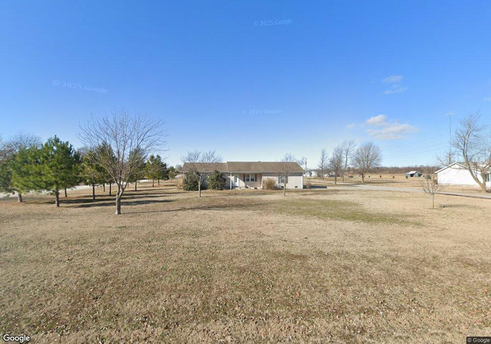
1941 State Highway Aa Matthews, MO 63867
Estimated Value: $171,683 - $204,000
3
Beds
1
Bath
1,430
Sq Ft
$132/Sq Ft
Est. Value
About This Home
This home is located at 1941 State Highway Aa, Matthews, MO 63867 and is currently estimated at $188,171, approximately $131 per square foot. 1941 State Highway Aa is a home with nearby schools including Central High School.
Ownership History
Date
Name
Owned For
Owner Type
Purchase Details
Closed on
Mar 13, 2013
Sold by
U S Bank Na
Bought by
Ayers Spencer C
Current Estimated Value
Home Financials for this Owner
Home Financials are based on the most recent Mortgage that was taken out on this home.
Original Mortgage
$82,397
Outstanding Balance
$57,352
Interest Rate
3.62%
Mortgage Type
New Conventional
Estimated Equity
$130,819
Purchase Details
Closed on
May 18, 2006
Sold by
Larkins Melinda
Bought by
Taylor Terry
Create a Home Valuation Report for This Property
The Home Valuation Report is an in-depth analysis detailing your home's value as well as a comparison with similar homes in the area
Purchase History
| Date | Buyer | Sale Price | Title Company |
|---|---|---|---|
| Ayers Spencer C | -- | None Available | |
| Taylor Terry | -- | -- |
Source: Public Records
Mortgage History
| Date | Status | Borrower | Loan Amount |
|---|---|---|---|
| Open | Ayers Spencer C | $82,397 |
Source: Public Records
Tax History
| Year | Tax Paid | Tax Assessment Tax Assessment Total Assessment is a certain percentage of the fair market value that is determined by local assessors to be the total taxable value of land and additions on the property. | Land | Improvement |
|---|---|---|---|---|
| 2025 | $1,104 | $23,800 | $1,200 | $22,600 |
| 2024 | $1,026 | $22,100 | $1,200 | $20,900 |
| 2023 | $1,030 | $22,100 | $0 | $0 |
| 2022 | $959 | $20,700 | $1,200 | $19,500 |
| 2021 | $958 | $20,700 | $0 | $0 |
| 2020 | $914 | $20,700 | $0 | $0 |
| 2019 | $909 | $19,500 | $1,200 | $18,300 |
| 2018 | $877 | $18,810 | $0 | $0 |
| 2017 | $867 | $18,810 | $0 | $0 |
| 2016 | -- | $18,770 | $0 | $0 |
| 2015 | -- | $18,770 | $0 | $0 |
| 2014 | -- | $18,770 | $0 | $0 |
| 2011 | -- | $0 | $0 | $0 |
Source: Public Records
Map
Nearby Homes
- 000 County Road 429
- 000 Cr 429
- 20 & 30 Artic Ln
- 1205 Yosemite
- 402 Aster
- 1130 Persimmon Place
- 403 Secretariat
- 414 Secretariat
- 1003 Red Arrow
- 912 Plantation Blvd
- 829 Plantation Blvd
- 116 Hospitality Dr
- 2012 Ables Rd
- 448 Crowe St
- 0 Ables Rd
- 926 Crescent Dr
- 814 Auburn Dr Unit 1
- 707 Bayberry Dr
- 109 Stallcup Dr
- 2012 Kentucky St
- 1949 State Highway Aa
- 1903 State Highway Aa
- 1877 State Highway Aa
- 1951 State Highway Aa
- 1943 State Highway Aa
- 1945 State Highway Aa
- 1945 State Highway Aa
- 1974 State Highway Aa
- 2005 State Highway Aa
- 190 Eagle Dr
- 1875 State Highway Aa
- 1998 State Highway Aa
- 1985 State Highway Aa
- 195 Eagle Dr
- 60 Nance Rd
- 2091 State Highway Aa
- 2091 State Highway Aa
- 2111 State Highway Aa
- 2107 State Highway Aa
- 2103 State Highway Aa
Your Personal Tour Guide
Ask me questions while you tour the home.