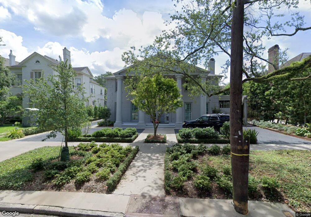
1941 State St New Orleans, LA 70118
Audubon NeighborhoodEstimated Value: $2,530,000 - $4,469,000
4
Beds
3
Baths
10,658
Sq Ft
$303/Sq Ft
Est. Value
About This Home
This home is located at 1941 State St, New Orleans, LA 70118 and is currently estimated at $3,233,285, approximately $303 per square foot. 1941 State St is a home located in Orleans Parish with nearby schools including The Willow School New Orleans, New Orleans Charter Science & Mathematics High School, and Warren Easton Senior High School.
Ownership History
Date
Name
Owned For
Owner Type
Purchase Details
Closed on
Feb 16, 2018
Sold by
Bch Inter Vivos Trust
Bought by
Closs Amy Mmahat and Closs Lawrence Elton
Current Estimated Value
Home Financials for this Owner
Home Financials are based on the most recent Mortgage that was taken out on this home.
Original Mortgage
$1,348,500
Outstanding Balance
$1,140,908
Interest Rate
3.95%
Mortgage Type
Adjustable Rate Mortgage/ARM
Estimated Equity
$2,092,377
Create a Home Valuation Report for This Property
The Home Valuation Report is an in-depth analysis detailing your home's value as well as a comparison with similar homes in the area
Home Values in the Area
Average Home Value in this Area
Purchase History
| Date | Buyer | Sale Price | Title Company |
|---|---|---|---|
| Closs Amy Mmahat | $1,500,000 | Crescent Title Llc |
Source: Public Records
Mortgage History
| Date | Status | Borrower | Loan Amount |
|---|---|---|---|
| Open | Closs Amy Mmahat | $1,348,500 |
Source: Public Records
Tax History Compared to Growth
Tax History
| Year | Tax Paid | Tax Assessment Tax Assessment Total Assessment is a certain percentage of the fair market value that is determined by local assessors to be the total taxable value of land and additions on the property. | Land | Improvement |
|---|---|---|---|---|
| 2025 | $37,088 | $273,790 | $49,950 | $223,840 |
| 2024 | $36,685 | $273,790 | $49,950 | $223,840 |
| 2023 | $30,562 | $220,100 | $27,010 | $193,090 |
| 2022 | $30,562 | $210,450 | $27,010 | $183,440 |
| 2021 | $32,633 | $220,100 | $27,010 | $193,090 |
| 2020 | $22,805 | $150,330 | $27,010 | $123,320 |
| 2019 | $23,662 | $150,330 | $27,010 | $123,320 |
| 2018 | $24,113 | $150,330 | $27,010 | $123,320 |
| 2017 | $22,117 | $150,330 | $27,010 | $123,320 |
| 2016 | $19,398 | $127,800 | $24,980 | $102,820 |
| 2015 | $19,000 | $127,800 | $24,980 | $102,820 |
| 2014 | -- | $127,800 | $24,980 | $102,820 |
| 2013 | -- | $127,800 | $24,980 | $102,820 |
Source: Public Records
Map
Nearby Homes
- 2011 State St
- 1931 State St
- 2015 State St
- 16 Richmond Place
- 2021 State St
- 14 Richmond Place
- 18 Richmond Place
- 2027 State St
- 12 Richmond Place
- 1919 State St
- 1938 State St
- 20 Richmond Place
- 2010 State St
- 2031 State St
- 2014 State St
- 1930 State St
- 10 Richmond Place
- 5940 Freret St
- 5940 Freret St Unit E
- 5940 Freret St Unit D