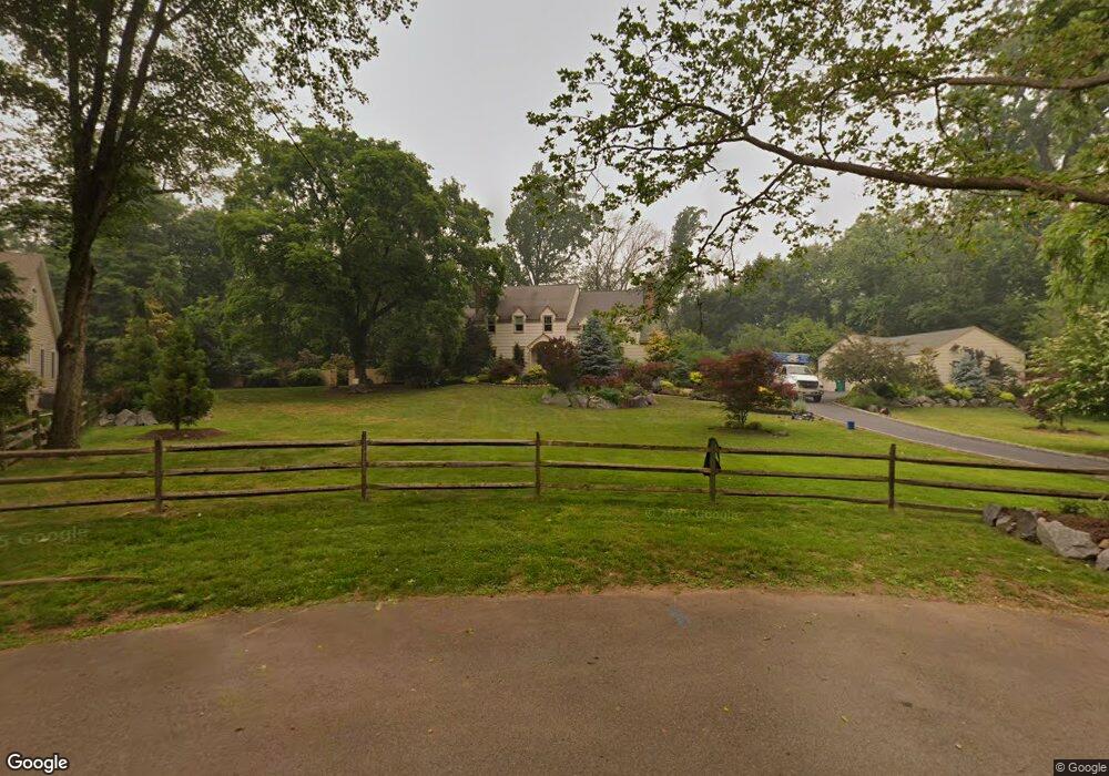
1941 Stony Brook Cir Scotch Plains, NJ 07076
Estimated Value: $1,098,110 - $1,490,000
--
Bed
--
Bath
3,441
Sq Ft
$375/Sq Ft
Est. Value
About This Home
This home is located at 1941 Stony Brook Cir, Scotch Plains, NJ 07076 and is currently estimated at $1,291,278, approximately $375 per square foot. 1941 Stony Brook Cir is a home located in Union County with nearby schools including William J. McGinn Elementary School, Terrill Middle School, and Scotch Plains-Fanwood High School.
Ownership History
Date
Name
Owned For
Owner Type
Purchase Details
Closed on
Dec 15, 2020
Sold by
Lieberman David M and Lieberman Tracey J
Bought by
Hardiman Gloria E and Gloria E Hardiman Revocable Tr
Current Estimated Value
Purchase Details
Closed on
Jul 1, 1992
Bought by
Lieberman David M and Lieberman Tracey J
Create a Home Valuation Report for This Property
The Home Valuation Report is an in-depth analysis detailing your home's value as well as a comparison with similar homes in the area
Home Values in the Area
Average Home Value in this Area
Purchase History
| Date | Buyer | Sale Price | Title Company |
|---|---|---|---|
| Hardiman Gloria E | $990,000 | None Available | |
| Lieberman David M | $275,000 | -- |
Source: Public Records
Tax History Compared to Growth
Tax History
| Year | Tax Paid | Tax Assessment Tax Assessment Total Assessment is a certain percentage of the fair market value that is determined by local assessors to be the total taxable value of land and additions on the property. | Land | Improvement |
|---|---|---|---|---|
| 2025 | $25,572 | $217,300 | $57,500 | $159,800 |
| 2024 | $24,818 | $217,300 | $57,500 | $159,800 |
| 2023 | $24,818 | $217,300 | $57,500 | $159,800 |
| 2022 | $24,522 | $217,300 | $57,500 | $159,800 |
| 2021 | $24,481 | $217,300 | $57,500 | $159,800 |
| 2020 | $24,364 | $217,300 | $57,500 | $159,800 |
| 2019 | $24,183 | $217,300 | $57,500 | $159,800 |
| 2018 | $23,777 | $217,300 | $57,500 | $159,800 |
| 2017 | $23,249 | $217,300 | $57,500 | $159,800 |
| 2016 | $22,801 | $217,300 | $57,500 | $159,800 |
| 2015 | $22,428 | $217,300 | $57,500 | $159,800 |
| 2014 | $21,689 | $217,300 | $57,500 | $159,800 |
Source: Public Records
Map
Nearby Homes
- 2 Dutch Ln
- 2 Brookside Ct
- 57 Rambling Dr
- 1466 Lamberts Mill Rd
- 1933 W Broad St
- 2 Unami Ln
- 2154 W Broad St
- 314 Highgate Ave
- 1933 Mary Ellen Ln
- 119 Lamberts Mill Rd
- 1840 Raritan Rd
- 1701 Raritan Rd
- 1840 Lake Ave
- 1380 Terrill Rd
- 1621 Terrill Rd
- 2116 Newark Ave
- 187 King St
- 525 Edgar Rd
- 676 Vermont St
- 524 Edgar Rd
- 1937 Stony Brook Cir
- 1942 Stony Brook Cir
- 1934 Inverness Dr
- 1929 Stony Brook Cir
- 1940 Inverness Dr
- 1936 Stony Brook Cir
- 1926 Inverness Dr
- 1946 Inverness Dr
- 1921 Stony Brook Cir
- 1930 Stony Brook Cir
- 2003 Dogwood Dr
- 1917 Stony Brook Cir
- 1918 Inverness Dr
- 2009 Dogwood Dr
- 1920 Stony Brook Cir
- 1995 Dogwood Dr
- 1952 Inverness Dr
- 1913 Stony Brook Cir
- 2013 Dogwood Dr
- 1912 Stony Brook Cir