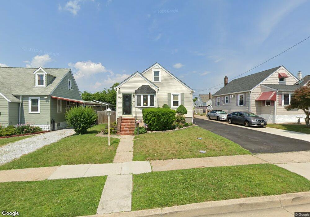
1941 Walnut Ave Dundalk, MD 21222
Estimated Value: $204,000 - $284,000
Studio
2
Baths
808
Sq Ft
$306/Sq Ft
Est. Value
About This Home
This home is located at 1941 Walnut Ave, Dundalk, MD 21222 and is currently estimated at $247,395, approximately $306 per square foot. 1941 Walnut Ave is a home located in Baltimore County with nearby schools including Norwood Elementary School, Holabird Middle School, and Dundalk High School.
Ownership History
Date
Name
Owned For
Owner Type
Purchase Details
Closed on
May 24, 2005
Sold by
Lingerman Karen Rose
Bought by
Hammond Karen R and Hammond James R
Current Estimated Value
Home Financials for this Owner
Home Financials are based on the most recent Mortgage that was taken out on this home.
Original Mortgage
$104,500
Interest Rate
6.01%
Mortgage Type
New Conventional
Purchase Details
Closed on
Oct 19, 1995
Sold by
Sudano Carolyn A
Bought by
Lingerman Karen R
Home Financials for this Owner
Home Financials are based on the most recent Mortgage that was taken out on this home.
Original Mortgage
$77,000
Interest Rate
7.6%
Create a Home Valuation Report for This Property
The Home Valuation Report is an in-depth analysis detailing your home's value as well as a comparison with similar homes in the area
Home Values in the Area
Average Home Value in this Area
Purchase History
| Date | Buyer | Sale Price | Title Company |
|---|---|---|---|
| Hammond Karen R | -- | -- | |
| Lingerman Karen R | $87,000 | -- |
Source: Public Records
Mortgage History
| Date | Status | Borrower | Loan Amount |
|---|---|---|---|
| Closed | Hammond Karen R | $104,500 | |
| Previous Owner | Lingerman Karen R | $77,000 |
Source: Public Records
Tax History
| Year | Tax Paid | Tax Assessment Tax Assessment Total Assessment is a certain percentage of the fair market value that is determined by local assessors to be the total taxable value of land and additions on the property. | Land | Improvement |
|---|---|---|---|---|
| 2025 | $2,594 | $172,467 | -- | -- |
| 2024 | $2,594 | $162,233 | $0 | $0 |
| 2023 | $1,233 | $152,000 | $61,200 | $90,800 |
| 2022 | $2,294 | $146,700 | $0 | $0 |
| 2021 | $2,186 | $141,400 | $0 | $0 |
| 2020 | $2,186 | $136,100 | $61,200 | $74,900 |
| 2019 | $2,142 | $134,133 | $0 | $0 |
| 2018 | $2,068 | $132,167 | $0 | $0 |
| 2017 | $1,987 | $130,200 | $0 | $0 |
| 2016 | $1,696 | $128,133 | $0 | $0 |
| 2015 | $1,696 | $126,067 | $0 | $0 |
| 2014 | $1,696 | $124,000 | $0 | $0 |
Source: Public Records
Map
Nearby Homes
- 1708 Rita Rd
- 1802 Portship Rd
- 1914 Snyder Ave
- 138 Highshire Ct
- 6904 Homeway
- 1823 Walnut Ave
- 1849 Portship Rd
- 1502 Vesper Ave
- 1900 Monumental Rd
- 1703 Bethlehem Ave
- 7324 School Ln
- 1220 Hillshire Rd
- 1214 S 48th St
- 0 Hillshire Rd
- 7113 Foundry St
- 6817 Duluth Ave
- 7430 School Ln
- 7150 Smoke Stack Rd
- 1305 Delvale Ave
- 7151 Sollers Point Rd
- 1943 Walnut Ave
- 1939 Walnut Ave
- 1937 Walnut Ave
- 1945 Walnut Ave
- 1774 Brookview Rd
- 1772 Brookview Rd
- 1935 Walnut Ave
- 1770 Brookview Rd
- 1947 Walnut Ave
- 1778 Brookview Rd
- 1932 Walnut Ave
- 1930 Walnut Ave
- 1934 Walnut Ave
- 1768 Brookview Rd
- 1936 Walnut Ave
- 1933 Walnut Ave
- 1780 Brookview Rd
- 1949 Walnut Ave
- 1938 Walnut Ave
- 1766 Brookview Rd
Your Personal Tour Guide
Ask me questions while you tour the home.