19414 Goddard St Unit Bldg-Unit Detroit, MI 48234
Nolan NeighborhoodEstimated Value: $58,059 - $95,000
--
Bed
1
Bath
1,161
Sq Ft
$65/Sq Ft
Est. Value
About This Home
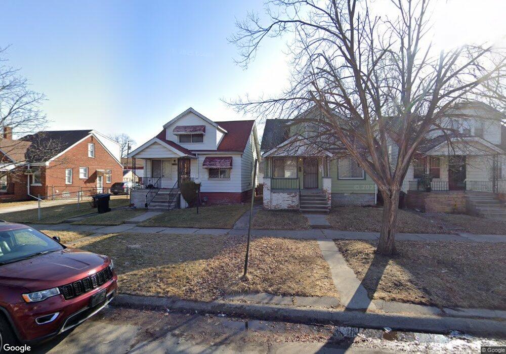
This home is located at 19414 Goddard St Unit Bldg-Unit, Detroit, MI 48234 and is currently estimated at $75,765, approximately $65 per square foot. 19414 Goddard St Unit Bldg-Unit is a home located in Wayne County with nearby schools including Nolan Elementary/Middle School, Edward 'Duke' Ellington Conservatory of Music and Art, and Charles L. Spain Elementary-Middle School.
Ownership History
Date
Name
Owned For
Owner Type
Purchase Details
Closed on
Dec 9, 2015
Sold by
Wayne County Treasurer
Bought by
Ruva Louise
Current Estimated Value
Purchase Details
Closed on
Nov 7, 2012
Sold by
Wells Fargo Bank Na
Bought by
Sp 1 Llc
Purchase Details
Closed on
Jul 27, 2011
Sold by
Johnson Carol E
Bought by
Wells Fargo Bank N A
Purchase Details
Closed on
Dec 26, 2000
Sold by
Mcqueen Lynnette
Bought by
Carol E Johnson
Create a Home Valuation Report for This Property
The Home Valuation Report is an in-depth analysis detailing your home's value as well as a comparison with similar homes in the area
Home Values in the Area
Average Home Value in this Area
Purchase History
| Date | Buyer | Sale Price | Title Company |
|---|---|---|---|
| Ruva Louise | $500 | None Available | |
| Sp 1 Llc | $925 | None Available | |
| Wells Fargo Bank N A | $75,201 | None Available | |
| Carol E Johnson | $10,000 | -- |
Source: Public Records
Tax History Compared to Growth
Tax History
| Year | Tax Paid | Tax Assessment Tax Assessment Total Assessment is a certain percentage of the fair market value that is determined by local assessors to be the total taxable value of land and additions on the property. | Land | Improvement |
|---|---|---|---|---|
| 2025 | $657 | $16,800 | $0 | $0 |
| 2024 | $657 | $13,800 | $0 | $0 |
| 2023 | $636 | $10,640 | $0 | $0 |
| 2022 | $668 | $8,300 | $0 | $0 |
| 2021 | $653 | $5,185 | $0 | $0 |
| 2020 | $654 | $5,400 | $0 | $0 |
| 2019 | $645 | $4,590 | $0 | $0 |
| 2018 | $602 | $4,800 | $0 | $0 |
| 2017 | $87 | $4,600 | $0 | $0 |
| 2016 | $863 | $15,700 | $0 | $0 |
| 2015 | $1,040 | $10,400 | $0 | $0 |
| 2013 | $1,302 | $13,016 | $0 | $0 |
| 2010 | -- | $19,082 | $679 | $18,403 |
Source: Public Records
Map
Nearby Homes
- 19623 Goddard St
- 19664 Fleming St
- 19404 Saint Aubin St
- 19434 Saint Aubin St
- 19626 Mackay St
- 19403 Anglin St
- 19235 Fleming St
- 19704 Saint Aubin St
- 19624 Anglin St
- 19629 Harned St
- 19158 Mackay St
- 19384 Harned St
- 19951 Mackay St
- 19164 Dequindre St
- 20021 Fleming St
- 20021 Mackay St
- 19665 Charest St
- 19238 Mitchell St
- 19400 Charest St
- 20048 Fleming St
- 19414 Goddard St
- 19408 Goddard St
- 19420 Goddard St
- 19402 Goddard St
- 19430 Goddard St
- 19396 Goddard St
- 19440 Goddard St
- 19390 Goddard St
- 19448 Goddard St
- 19384 Goddard St
- 19372 Goddard St
- 19417 Goddard St
- 19423 Goddard St
- 19456 Goddard St
- 19405 Goddard St
- 19429 Goddard St
- 19395 Goddard St
- 19389 Goddard St
- 19366 Goddard St
- 19447 Goddard St