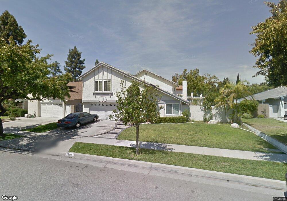
19415 Erin Cir Cerritos, CA 90703
Estimated Value: $1,203,000 - $1,285,000
4
Beds
3
Baths
2,295
Sq Ft
$535/Sq Ft
Est. Value
About This Home
This home is located at 19415 Erin Cir, Cerritos, CA 90703 and is currently estimated at $1,228,234, approximately $535 per square foot. 19415 Erin Cir is a home located in Los Angeles County with nearby schools including Bragg Elementary School, Haskell Stem Academy, and Gahr High School.
Ownership History
Date
Name
Owned For
Owner Type
Purchase Details
Closed on
Jan 31, 2013
Sold by
Chie Alan Ling and Ip Gail
Bought by
Chie Alan Ling and Ip Gail
Current Estimated Value
Purchase Details
Closed on
Nov 2, 2002
Sold by
Chie Chung S
Bought by
Chie Alan L
Home Financials for this Owner
Home Financials are based on the most recent Mortgage that was taken out on this home.
Original Mortgage
$110,000
Interest Rate
5.88%
Purchase Details
Closed on
May 6, 1996
Sold by
First Alliance Mtg Company
Bought by
Chie Alan L and Ip Gail S Y
Home Financials for this Owner
Home Financials are based on the most recent Mortgage that was taken out on this home.
Original Mortgage
$150,000
Interest Rate
7.97%
Purchase Details
Closed on
Nov 23, 1994
Sold by
Fanning Robert M and First Alliance Mtg Company
Bought by
First Alliance Mtg Company
Purchase Details
Closed on
Nov 22, 1994
Sold by
Fanning Robert M
Bought by
Fanning Nancy
Create a Home Valuation Report for This Property
The Home Valuation Report is an in-depth analysis detailing your home's value as well as a comparison with similar homes in the area
Home Values in the Area
Average Home Value in this Area
Purchase History
| Date | Buyer | Sale Price | Title Company |
|---|---|---|---|
| Chie Alan Ling | -- | Oak Hills Land Title Agency | |
| Chie Alan L | -- | -- | |
| Chie Alan L | $235,000 | American Title Ins Co | |
| First Alliance Mtg Company | $56,453 | World Title | |
| Fanning Nancy | -- | -- |
Source: Public Records
Mortgage History
| Date | Status | Borrower | Loan Amount |
|---|---|---|---|
| Closed | Chie Alan L | $110,000 | |
| Closed | Chie Alan L | $150,000 |
Source: Public Records
Tax History Compared to Growth
Tax History
| Year | Tax Paid | Tax Assessment Tax Assessment Total Assessment is a certain percentage of the fair market value that is determined by local assessors to be the total taxable value of land and additions on the property. | Land | Improvement |
|---|---|---|---|---|
| 2025 | $6,101 | $493,789 | $256,605 | $237,184 |
| 2024 | $6,101 | $484,108 | $251,574 | $232,534 |
| 2023 | $5,907 | $474,617 | $246,642 | $227,975 |
| 2022 | $5,818 | $465,311 | $241,806 | $223,505 |
| 2021 | $5,677 | $456,188 | $237,065 | $219,123 |
| 2019 | $5,548 | $442,660 | $230,035 | $212,625 |
| 2018 | $5,113 | $433,981 | $225,525 | $208,456 |
| 2016 | $4,823 | $417,130 | $216,768 | $200,362 |
| 2015 | $4,761 | $410,865 | $213,512 | $197,353 |
| 2014 | $4,669 | $402,818 | $209,330 | $193,488 |
Source: Public Records
Map
Nearby Homes
- 11514 Bos St
- 11515 Bertha St
- 19127 Allingham Ave
- 18747 West Place
- 19127 Pioneer Blvd Unit 30
- 19127 Pioneer Blvd Unit 9
- 19127 Pioneer Blvd Unit SPC 23
- 19127 Pioneer Blvd Unit 27
- 11620 187th St
- 6745 Yearling St
- 6705 Denmead St
- 18647 Alburtis Ave
- 19518 Nancy Cir
- 6513 Denmead St
- 11518 205th St
- 11629 185th St
- 5026 Iroquois Ave
- 18548 San Gabriel Ave
- 6333 Bigelow St
- 11609 208th St