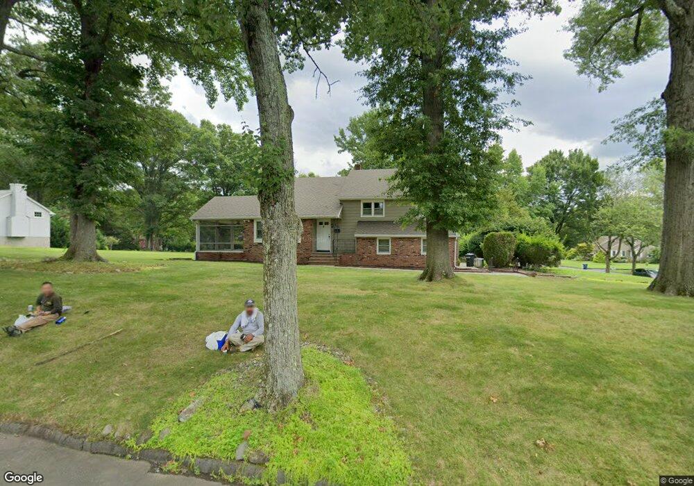
1942 Duncan Dr Scotch Plains, NJ 07076
Estimated Value: $734,373 - $1,583,000
--
Bed
--
Bath
--
Sq Ft
0.95
Acres
About This Home
This home is located at 1942 Duncan Dr, Scotch Plains, NJ 07076 and is currently estimated at $1,162,593. 1942 Duncan Dr is a home located in Union County with nearby schools including William J. McGinn Elementary School, Terrill Middle School, and Scotch Plains-Fanwood High School.
Ownership History
Date
Name
Owned For
Owner Type
Purchase Details
Closed on
Aug 14, 2003
Sold by
Boyle James
Bought by
Granizo Francis and Granizo Robyn
Current Estimated Value
Home Financials for this Owner
Home Financials are based on the most recent Mortgage that was taken out on this home.
Original Mortgage
$393,840
Outstanding Balance
$178,470
Interest Rate
6.02%
Estimated Equity
$984,123
Create a Home Valuation Report for This Property
The Home Valuation Report is an in-depth analysis detailing your home's value as well as a comparison with similar homes in the area
Home Values in the Area
Average Home Value in this Area
Purchase History
| Date | Buyer | Sale Price | Title Company |
|---|---|---|---|
| Granizo Francis | $492,300 | -- |
Source: Public Records
Mortgage History
| Date | Status | Borrower | Loan Amount |
|---|---|---|---|
| Open | Granizo Francis | $393,840 |
Source: Public Records
Tax History Compared to Growth
Tax History
| Year | Tax Paid | Tax Assessment Tax Assessment Total Assessment is a certain percentage of the fair market value that is determined by local assessors to be the total taxable value of land and additions on the property. | Land | Improvement |
|---|---|---|---|---|
| 2025 | $16,146 | $137,200 | $55,300 | $81,900 |
| 2024 | $15,670 | $137,200 | $55,300 | $81,900 |
| 2023 | $15,670 | $137,200 | $55,300 | $81,900 |
| 2022 | $15,483 | $137,200 | $55,300 | $81,900 |
| 2021 | $15,457 | $137,200 | $55,300 | $81,900 |
| 2020 | $15,383 | $137,200 | $55,300 | $81,900 |
| 2019 | $15,269 | $137,200 | $55,300 | $81,900 |
| 2018 | $15,012 | $137,200 | $55,300 | $81,900 |
| 2017 | $14,679 | $137,200 | $55,300 | $81,900 |
| 2016 | $14,396 | $137,200 | $55,300 | $81,900 |
| 2015 | $14,160 | $137,200 | $55,300 | $81,900 |
| 2014 | $13,694 | $137,200 | $55,300 | $81,900 |
Source: Public Records
Map
Nearby Homes
- 2 Brookside Ct
- 2 Dutch Ln
- 57 Rambling Dr
- 1466 Lamberts Mill Rd
- 1933 W Broad St
- 2154 W Broad St
- 314 Highgate Ave
- 119 Lamberts Mill Rd
- 1933 Mary Ellen Ln
- 2 Unami Ln
- 1840 Raritan Rd
- 2116 Newark Ave
- 1701 Raritan Rd
- 1840 Lake Ave
- 1380 Terrill Rd
- 1621 Terrill Rd
- 1148 Tanglewood Ln
- 187 King St
- 525 Edgar Rd
- 524 Edgar Rd
- 1950 Duncan Dr
- 1941 Inverness Dr
- 1923 Duncan Dr
- 1915 Duncan Dr
- 1931 Duncan Dr
- 1949 Inverness Dr
- 1939 Duncan Dr
- 1947 Duncan Dr
- 1958 Duncan Dr
- 1907 Duncan Dr
- 1957 Inverness Dr
- 1957 Duncan Dr
- 1 Norwegian Woods
- 1968 Parkwood Dr
- 1966 Duncan Dr
- 1956 Parkwood Dr
- 1978 Parkwood Dr
- 1925 Inverness Dr
- 1940 Inverness Dr
- 1946 Inverness Dr