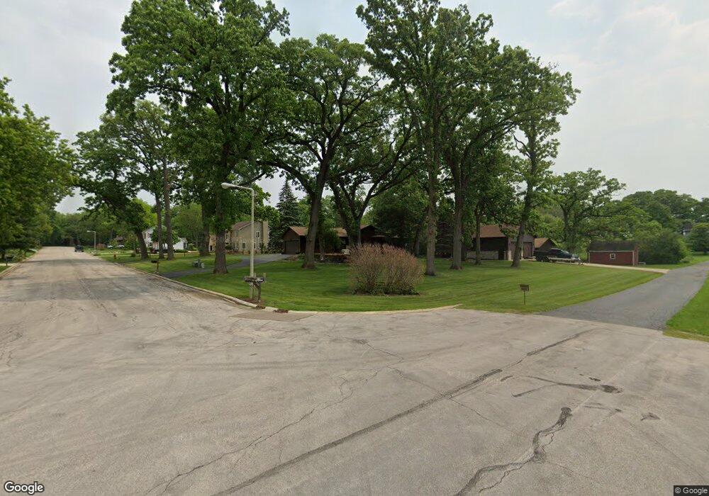
1942 Fays Ln Sugar Grove, IL 60554
Estimated Value: $455,000 - $483,000
3
Beds
3
Baths
2,046
Sq Ft
$231/Sq Ft
Est. Value
About This Home
This home is located at 1942 Fays Ln, Sugar Grove, IL 60554 and is currently estimated at $472,165, approximately $230 per square foot. 1942 Fays Ln is a home located in Kane County with nearby schools including Kaneland Mcdole Elementary School, Harter Middle School, and Kaneland Senior High School.
Ownership History
Date
Name
Owned For
Owner Type
Purchase Details
Closed on
Oct 3, 2024
Sold by
David E Armbrust Trust and Armbrust David E
Bought by
Hollaway Mary and Thone Travis
Current Estimated Value
Home Financials for this Owner
Home Financials are based on the most recent Mortgage that was taken out on this home.
Original Mortgage
$437,000
Outstanding Balance
$432,535
Interest Rate
6.5%
Mortgage Type
New Conventional
Estimated Equity
$39,630
Purchase Details
Closed on
Oct 14, 2021
Sold by
Armbrust David E and Armbrust Linda K
Bought by
Armbrust David E and David E Armbrust Trust
Purchase Details
Closed on
May 18, 2006
Sold by
Boll Michael and Boll Linda
Bought by
Armbrust David E and Armbrust Linda K
Home Financials for this Owner
Home Financials are based on the most recent Mortgage that was taken out on this home.
Original Mortgage
$299,000
Interest Rate
6.56%
Mortgage Type
Fannie Mae Freddie Mac
Create a Home Valuation Report for This Property
The Home Valuation Report is an in-depth analysis detailing your home's value as well as a comparison with similar homes in the area
Home Values in the Area
Average Home Value in this Area
Purchase History
| Date | Buyer | Sale Price | Title Company |
|---|---|---|---|
| Hollaway Mary | $460,000 | Fidelity National Title | |
| Armbrust David E | -- | None Available | |
| Armbrust David E | $379,000 | Chicago Title Insurance Comp |
Source: Public Records
Mortgage History
| Date | Status | Borrower | Loan Amount |
|---|---|---|---|
| Open | Hollaway Mary | $437,000 | |
| Previous Owner | Armbrust David E | $299,000 |
Source: Public Records
Tax History Compared to Growth
Tax History
| Year | Tax Paid | Tax Assessment Tax Assessment Total Assessment is a certain percentage of the fair market value that is determined by local assessors to be the total taxable value of land and additions on the property. | Land | Improvement |
|---|---|---|---|---|
| 2024 | $8,769 | $119,129 | $31,407 | $87,722 |
| 2023 | $8,394 | $107,439 | $28,325 | $79,114 |
| 2022 | $8,329 | $99,186 | $26,149 | $73,037 |
| 2021 | $7,999 | $94,391 | $24,885 | $69,506 |
| 2020 | $7,873 | $92,377 | $24,354 | $68,023 |
| 2019 | $7,732 | $89,357 | $23,558 | $65,799 |
| 2018 | $9,202 | $102,002 | $23,894 | $78,108 |
| 2017 | $8,896 | $97,414 | $22,819 | $74,595 |
| 2016 | $8,660 | $93,121 | $21,813 | $71,308 |
| 2015 | -- | $86,640 | $20,295 | $66,345 |
| 2014 | -- | $82,845 | $19,406 | $63,439 |
| 2013 | -- | $83,716 | $19,610 | $64,106 |
Source: Public Records
Map
Nearby Homes
- 1650 Highway 30
- 126 S Sugar Grove Pkwy
- 240 Snow St
- 45W127 Jericho Rd
- 191 Meadows Dr
- 92 Maple St
- 226 W Park Ave Unit A
- 193 W Park Ave Unit A
- 124 W Park Ave Unit D
- 199 Vale Ave Unit 1
- 110 S Sugar Grove Pkwy
- 73 Neil Rd
- 389 Mallard Ln
- 369 Mallard Ln
- 122 Arbor Ave
- 123 Terry Dr
- 391 Capitol Dr
- 206 Brompton Ln Unit A
- 174 Brompton Ln Unit A
- 230 St James Pkwy Unit A