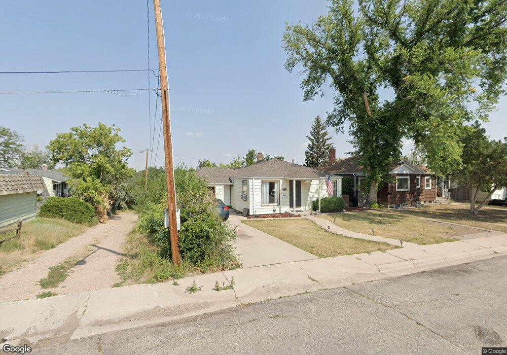
1942 Garrett St Cheyenne, WY 82001
Estimated Value: $279,000 - $302,000
--
Bed
--
Bath
828
Sq Ft
$353/Sq Ft
Est. Value
About This Home
This home is located at 1942 Garrett St, Cheyenne, WY 82001 and is currently estimated at $292,326, approximately $353 per square foot. 1942 Garrett St is a home located in Laramie County with nearby schools including Alta Vista Elementary School, Carey Junior High School, and East High School.
Ownership History
Date
Name
Owned For
Owner Type
Purchase Details
Closed on
May 9, 2017
Sold by
Nelson Jeanette R
Bought by
Nelson Jeanette R and Reid Michael T
Current Estimated Value
Purchase Details
Closed on
Jan 28, 2014
Sold by
Nelson Jeanette R and Reid Jeanette R
Bought by
Larimore Tamara A
Purchase Details
Closed on
Oct 2, 2001
Sold by
Schreiner John
Bought by
Schreiner John and Nelson Jeanette R
Create a Home Valuation Report for This Property
The Home Valuation Report is an in-depth analysis detailing your home's value as well as a comparison with similar homes in the area
Home Values in the Area
Average Home Value in this Area
Purchase History
| Date | Buyer | Sale Price | Title Company |
|---|---|---|---|
| Nelson Jeanette R | -- | None Available | |
| Larimore Tamara A | -- | None Available | |
| Schreiner John | -- | -- |
Source: Public Records
Tax History Compared to Growth
Tax History
| Year | Tax Paid | Tax Assessment Tax Assessment Total Assessment is a certain percentage of the fair market value that is determined by local assessors to be the total taxable value of land and additions on the property. | Land | Improvement |
|---|---|---|---|---|
| 2025 | $1,841 | $19,682 | $2,333 | $17,349 |
| 2024 | $1,841 | $26,041 | $3,110 | $22,931 |
| 2023 | $1,787 | $25,266 | $3,110 | $22,156 |
| 2022 | $1,652 | $22,881 | $3,110 | $19,771 |
| 2021 | $1,398 | $19,319 | $3,110 | $16,209 |
| 2020 | $1,288 | $17,858 | $3,110 | $14,748 |
| 2019 | $1,246 | $17,257 | $3,110 | $14,147 |
| 2018 | $1,089 | $15,229 | $2,345 | $12,884 |
| 2017 | $1,064 | $14,741 | $2,345 | $12,396 |
| 2016 | $1,016 | $14,072 | $2,270 | $11,802 |
| 2015 | $1,005 | $13,917 | $2,270 | $11,647 |
| 2014 | $1,004 | $13,814 | $2,270 | $11,544 |
Source: Public Records
Map
Nearby Homes
- 2207 E 19th St
- 2111 Garrett St
- 2004 E 22nd St
- 1920 E 22nd St
- TBD Charles St
- 2123 E 18th St
- Lot 1 E Phipps Ave
- 1958 Newton Dr
- 1911 E 17th St
- 2110 E 16th St
- 1602 Crook Ave
- 1847 Milton Dr
- 2533 Deming Blvd
- 2015 E 15th St
- 2314 E 15th St
- 1410 Carbon Ave Unit A-D
- 2407 E 16th St
- 1605 E 16th St
- 1518 Hot Springs Ave
- 1763 Milton Dr
- 1946 Garrett St
- 1948 Garrett St
- 1929 E 19th St
- 1950 Garrett St
- 2003 E 19th St
- 1925 E 19th St
- 2009 E 19th St
- 1954 Garrett St
- 1943 Garrett St
- 1947 Garrett St
- 1931 Garrett St
- 2013 E 19th St
- 1951 Garrett St
- 1958 Garrett St
- 1955 Garrett St
- 1927 Garrett St
- 2019 E 19th St
- 1959 Garrett St
- 1923 Garrett St
- 2104 Park Place